The Chicago map Template in PowerPoint format includes 7 maps. Firstly the Chicago maps are outline map of boundary and CBD outline. Secondly the Chicago maps are related to Industrial Corridors and Enterprise Zones. The third is the Chicago maps are for Police Districts, Chicago neighborhood map and Chicago ward map. You can also find our Los Angeles map, Washington DC, Texas county map, Florida County map, Pennsylvania map, Virtual Reality, Carbon neutral, Circular economy, Carbon footprint, Data Mining, Machine Learning, cloud computing, Artificial Intelligence and BlockChain templates.
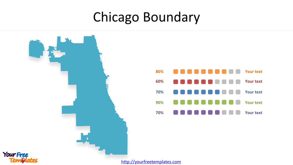
Slide 1, Chicago City Boundary
Chicago is the seat of Cook county, northeastern Illinois, U.S. With a population about three million, Chicago is the Illinois state’s largest and the country’s third most populous city. The greater Chicago area has been the US’s third largest metropolitan area and the dominant metropolis of the Midwest.

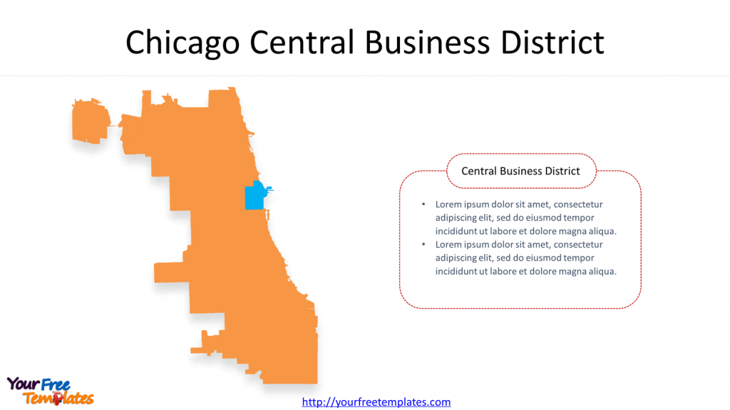
Slide 2, Chicago Central Business District
The boundaries of Chicago Central Business District (CBD) have been defined as Division Street on the north, Roosevelt Road on the south, Lake Michigan on the east, and Halsted Street on the west.

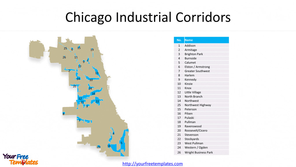
Slide 3, Chicago map with 26 Industrial Corridors
The city’s 26 designated Industrial Corridors contain two thirds of all the land that’s zoned for manufacturing in Chicago. These areas usually located along waterways and rail corridors. They are Addison, Armitage, Brighton Park, Burnside, Calumet, Elston / Armstrong, Greater Southwest, Harlem, Kennedy, Kinzie, Knox, Little Village, North Branch, Northwest, Northwest Highway, Peterson, Pilsen, Pulaski, Pullman, Ravenswood, Roosevelt/Cicero, Stevenson, Stockyards, West Pullman, Western / Ogden, and Wright Business Park.


