As an avid traveler, I have always been drawn to the diversity and natural beauty of the Western United States. From the towering peaks of the Rocky Mountains to the sun-kissed beaches of Southern California, the region offers an endless array of adventures and experiences. In this blog post, I will explore the Western US and provide an overview of the maps that can help you navigate and discover the wonders of the region. Furthermore, you can also download our 18 slides templates with map of the western United States at the bottom of this blog.
 Overview of the Western US
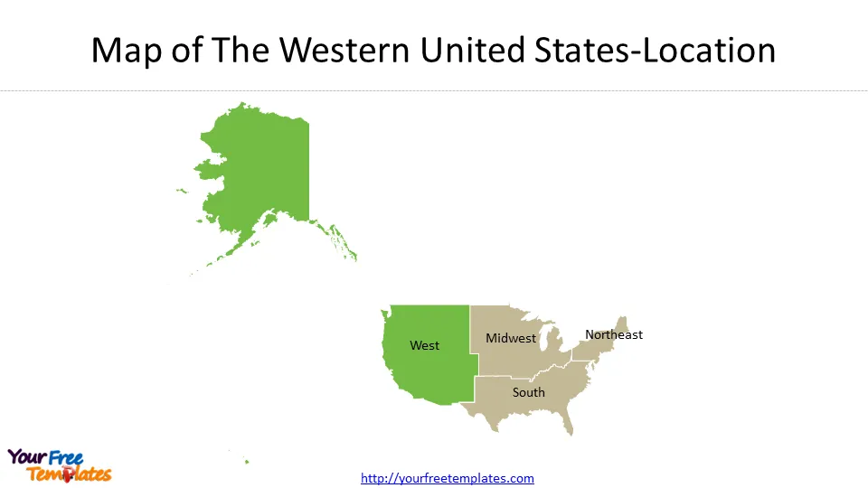
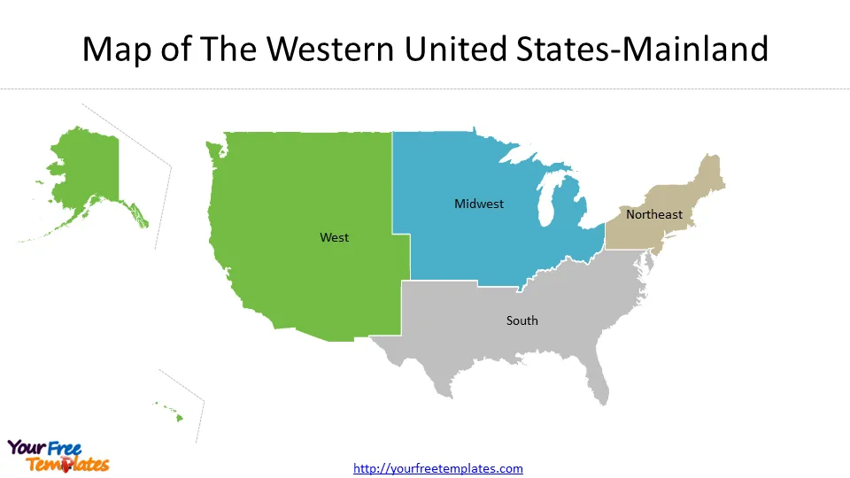
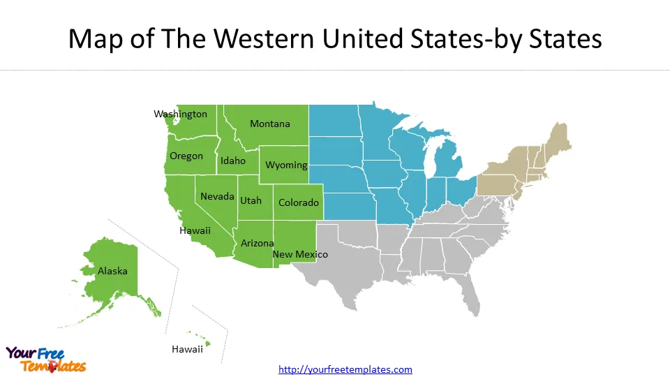
The Western US is a vast and diverse region that encompasses 13 states, including Alaska, Arizona, California, Colorado, Hawaii, Idaho, Montana, Nevada, New Mexico, Oregon, Utah, Washington, and Wyoming. It is home to some of the most iconic natural landmarks and national parks in the country, such as the Grand Canyon, Yellowstone, Yosemite, and the Rocky Mountains. The region is also known for its diverse climate and geography, ranging from arid deserts to snow-capped mountains, lush forests to rugged coastlines.
Map of the Western United States
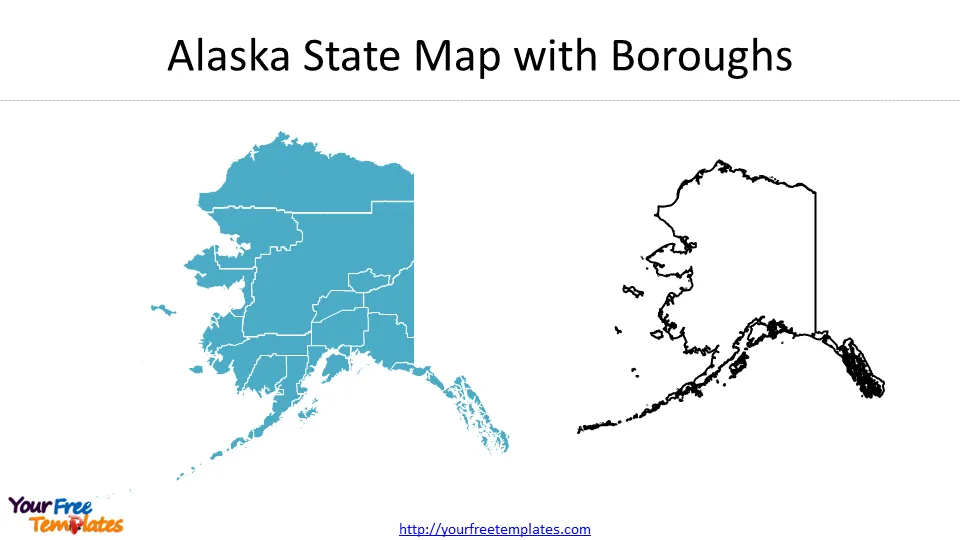
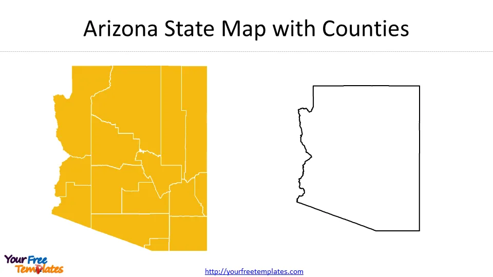
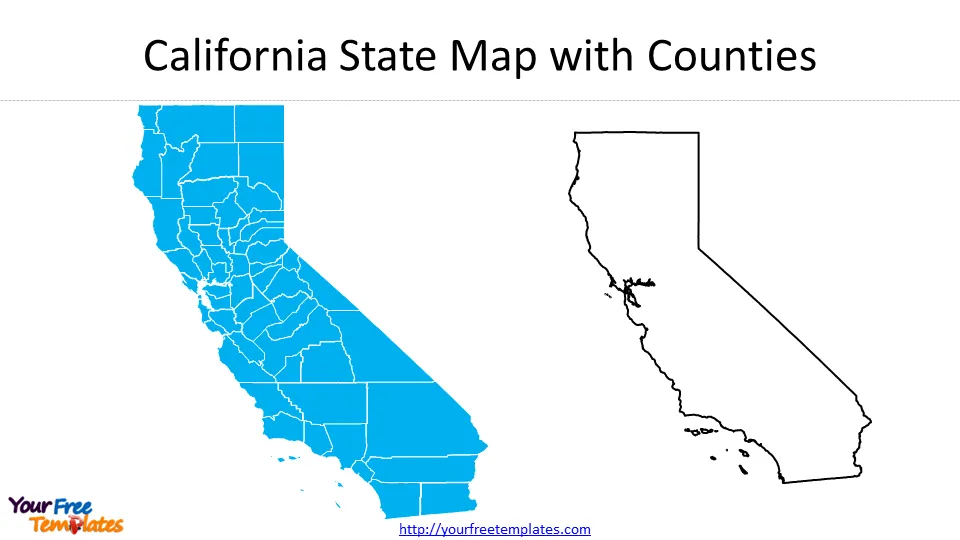
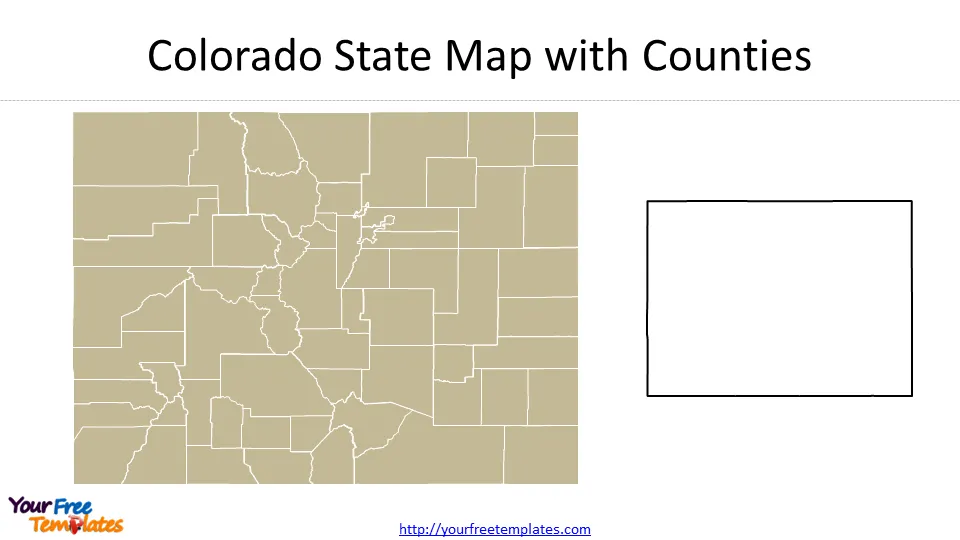
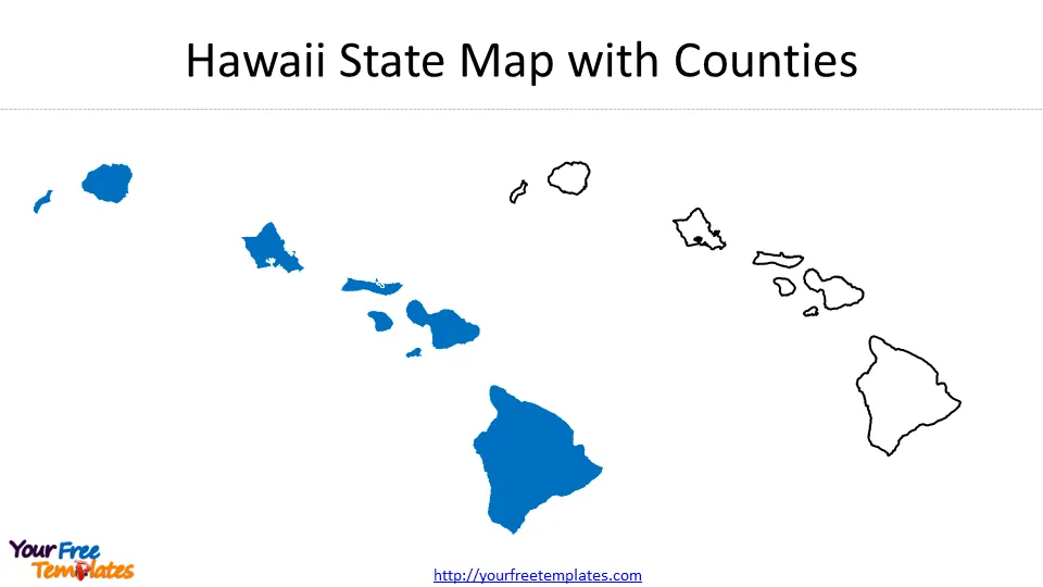
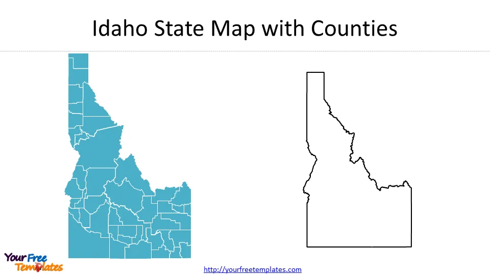
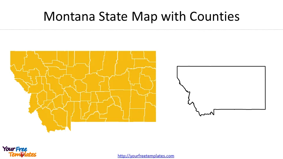
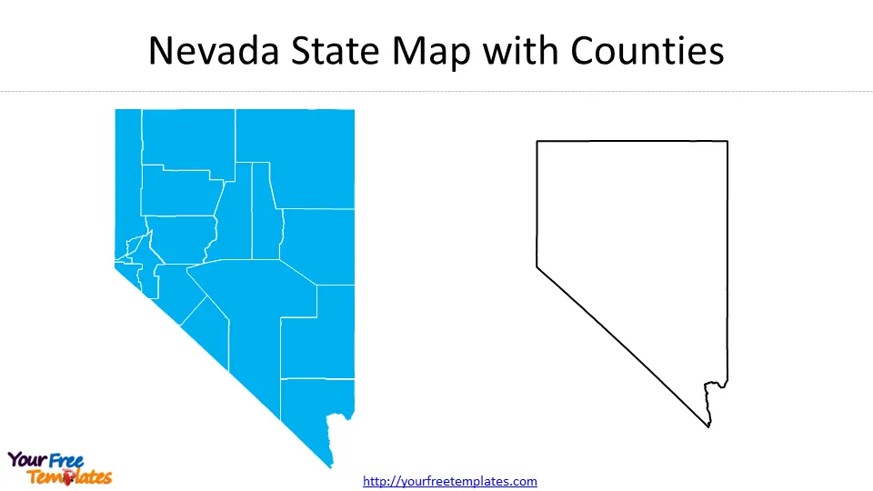
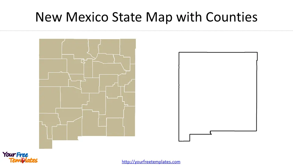
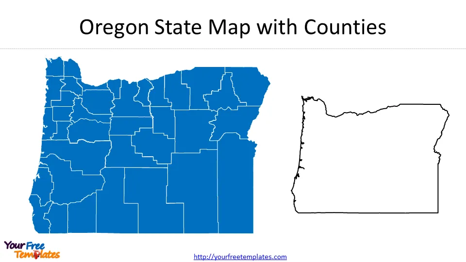
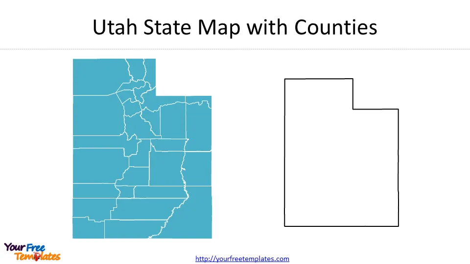
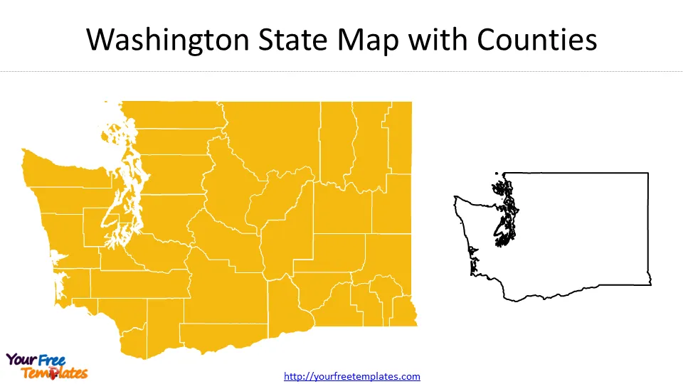
As a traveler exploring the Western US, having a good map is essential. Whether you prefer a traditional paper map or a digital one, there are many options available to help you navigate the region. One of the most popular and comprehensive options is the Rand McNally Western United States Road Map. This map covers the entire region and includes detailed information on highways, cities, towns, and points of interest. The 13 states’ map of Western US will be presented one by one as below.
 Another popular option for exploring the Western US is the National Geographic Road Atlas. This atlas offers detailed maps of every state in the region, as well as information on national parks, scenic drives, and other attractions. For those who prefer digital maps, Google Maps and MapQuest are both excellent options that offer real-time traffic updates and turn-by-turn directions.
 Political Map of Western US
In addition to physical maps, political maps can also be helpful for understanding the Western US. These maps show the boundaries of states, counties, and other political subdivisions, as well as major cities and towns. One of the best options for political maps of the Western US is the United States Atlas published by the National Geographic Society. This atlas includes detailed political maps of every state in the region, as well as information on population, demographics, and other important statistics.
Interesting Facts About the Western US
The Western US is a region rich in history and culture, with many interesting facts and trivia. For example, did you know that the tallest mountain in the contiguous United States is Mount Whitney, located in California’s Sierra Nevada range? Or that the Hoover Dam, one of the greatest engineering feats of the 20th century, is located on the border between Arizona and Nevada? The region is also home to many unique flora and fauna, such as the giant sequoia trees in California and the bison of Yellowstone National Park.
 Famous Landmarks in the Western US
The Western US is home to many famous landmarks and natural wonders that draw visitors from around the world. One of the most iconic is the Grand Canyon, located in northern Arizona. This massive gorge is over 277 miles long and up to 18 miles wide, with depths of up to a mile. Other famous landmarks in the region include Mount Rushmore in South Dakota, the Golden Gate Bridge in San Francisco, and the Space Needle in Seattle.
Economic and Cultural Influences in the Western US
The Western US has a long and rich history of economic and cultural influences. From the gold rush of the 19th century to the tech boom of the 21st century, the region has been shaped by many different industries and innovations. The region is also known for its diverse cultural influences, from the indigenous peoples who have lived there for thousands of years to the waves of immigrants who have come to the region seeking a better life.
Major Cities in the Western US
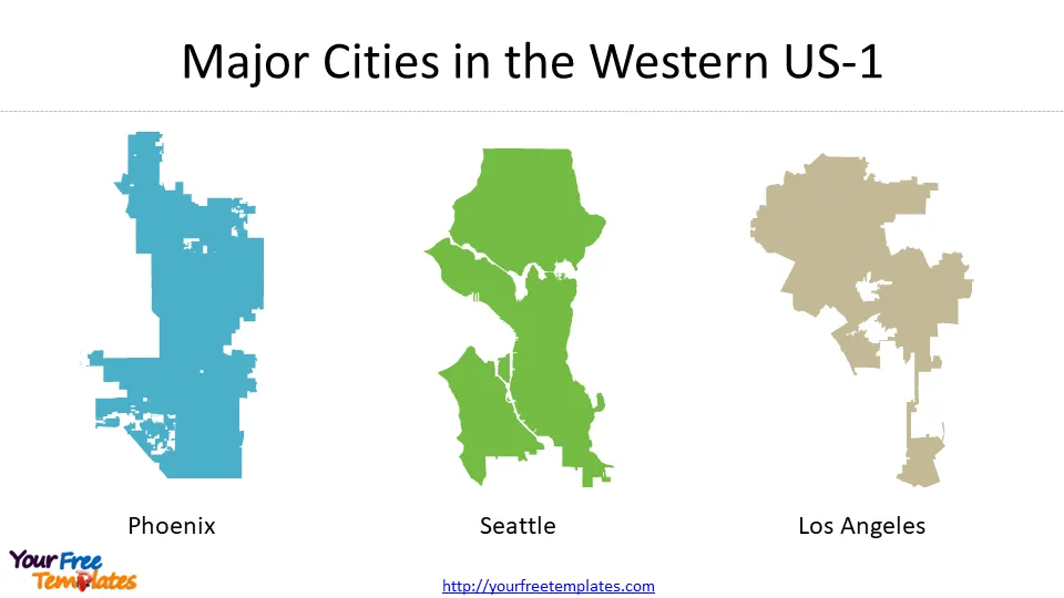
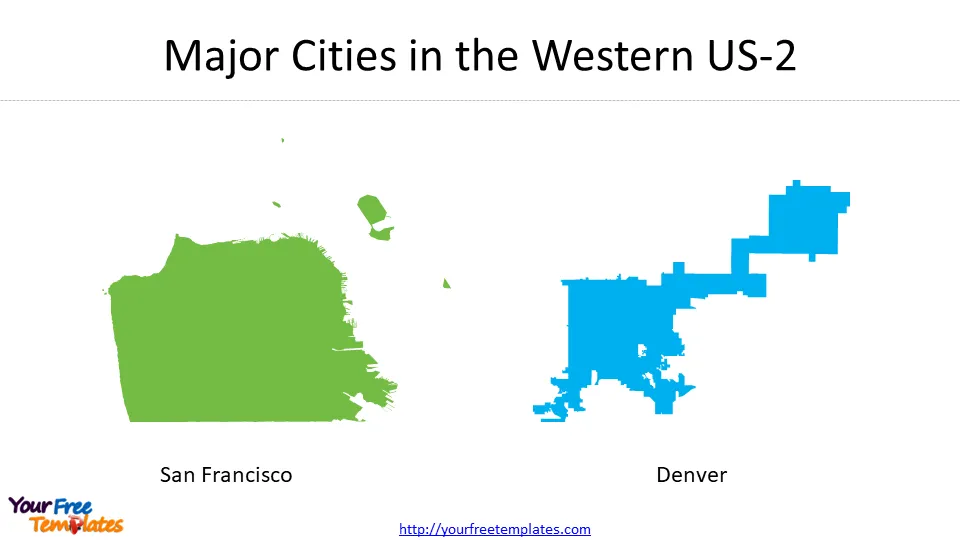
The Western US is home to many major cities, each with its own unique personality and attractions. Some of the largest and most well-known cities in the region include Los Angeles, San Francisco, Seattle, Denver, and Phoenix. These cities offer a wide range of activities and experiences, from world-class dining and shopping to outdoor adventures and cultural attractions.
 Climate and Geography of the Western US
The Western US has a diverse climate and geography, with many different regions and ecosystems. The region is home to several major mountain ranges, including the Rocky Mountains, the Sierra Nevada, and the Cascade Range. These mountains create a natural barrier that influences weather patterns and precipitation levels. The region also includes several major deserts, such as the Mojave and Sonoran Deserts, which are known for their extreme temperatures and unique flora and fauna.
Resources for Exploring the Western US
If you are planning a trip to the Western US, there are many resources available to help you plan and prepare. Some of the best resources include travel guides, online forums and communities, and social media groups. You can also find many helpful apps and websites that offer information on attractions, hotels, restaurants, and other travel-related services. But the maps below are the most popular ones.
Conclusion
The Western US is a region unlike any other, with a wealth of natural beauty, history, and culture to discover. Whether you are an avid hiker, a history buff, or a foodie looking for the next great culinary adventure, the region offers something for everyone. With the right maps and resources, you can explore and experience all that the Western US has to offer, and create memories that will last a lifetime.
For other interesting maps, pls visit our ofomaps.com
Size:3150K
Type: PPTX
Aspect Ratio: Standard 4:3
Click the blue button to download Map of Western US.
Download the 4:3 Template
Aspect Ratio: Widescreen 16:9
Click the green button to download Map of Western US.
Download the 16:9 Template


