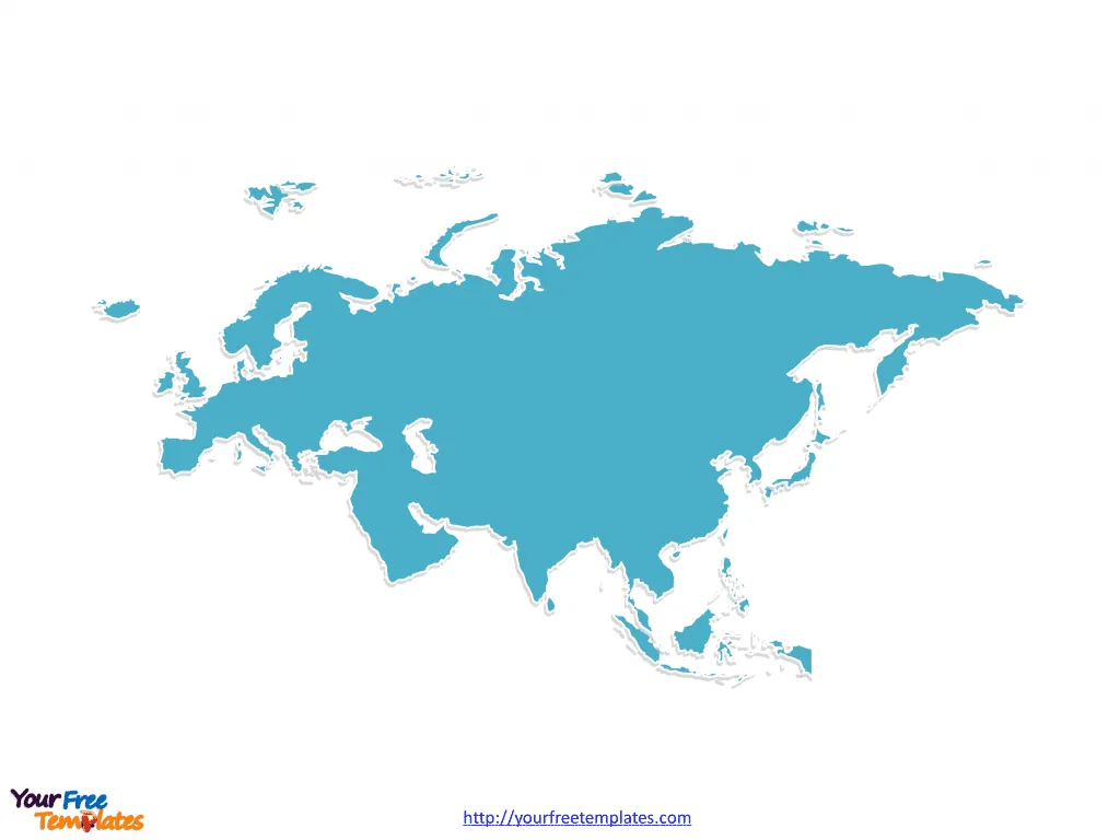
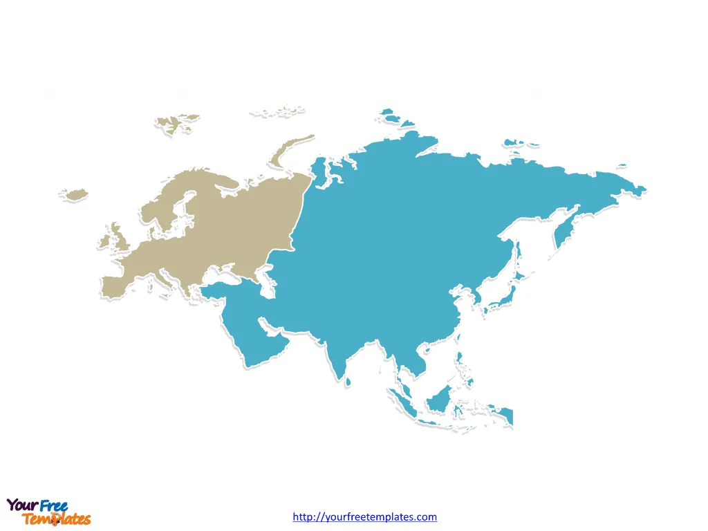
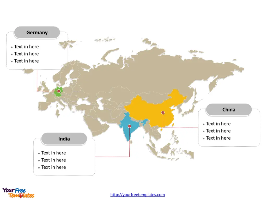
The Eurasia map Template includes three slides. Eurasia Political map with Europe and Asia countries, the outline map with the combined outline of the two continents, and our Continent map with continent outlines for the Europe and Asia respectively.
Eurasia, the combined continental landmass of Europe and Asia, represents the most extensive and populous landmass on Earth. Stretching from the Atlantic Ocean in the west to the Pacific Ocean in the east, it covers about two-thirds of the Earth’s surface and is home to the majority of the human population. This vast landmass holds an incredible diversity of cultures, languages, and ecosystems, making it a fascinating subject of study for geographers, historians, and political scientists alike. Eurasia covers around 55,000,000 square kilometres with about 5 billion people, accounting for 70% of the total human population.
Slide 1, Eurasia map of outline
Location and Geographical Boundaries
Eurasia is located primarily in the Eastern and Northern Hemispheres. It is bordered by the Arctic Ocean to the north, the Atlantic Ocean to the west, the Mediterranean Sea to the southwest, and the Indian Ocean to the south. The Ural Mountains in Russia are traditionally considered the dividing line between Europe and Asia, providing a geographical boundary that has been recognized since the time of the ancient Greeks. However, this division is more cultural and historical than it is physical, as the continents of Europe and Asia are part of the same tectonic plate.

Slide 2, Eurasia map with Continents
Eurasia is directly connected to two continents:
- Europe: The western part of Eurasia, Europe is characterized by its diverse cultures, languages, and historical influences. It is the second smallest continent by surface area but has a significant impact on global politics, economy, and culture.
- Asia: Making up the vast eastern region of Eurasia, Asia is the world’s largest and most populous continent. It encompasses a wide variety of climates, cultures, and economies, from the advanced technological hubs of East Asia to the rich historical landscapes of the Middle East and South Asia.

Slide 3, Eurasia map labeled with major countries
Major Countries on Eurasia map
Eurasia spans dozens of countries, with some of the most significant in terms of population, economic power, and geopolitical influence including:
- Russia: The largest country in the world by area, Russia straddles both Europe and Asia, with its western part in Europe and the vast majority of its territory in Asia. Its diverse landscapes range from the tundra of Siberia to the subtropical beaches of the Black Sea coast.
- China: Located in East Asia, China is the world’s most populous country and a major economic powerhouse. It boasts a rich cultural heritage that dates back thousands of years, as well as rapidly modernizing cities like Beijing, Shanghai, and Shenzhen.
- India: Situated in South Asia, India is the second-most populous country in the world and one of the fastest-growing major economies. It is known for its diverse cultures, languages, and religions, with a history that spans several millennia.
- Germany: As the most populous and economically powerful country in Europe, Germany plays a crucial role in both European and global affairs. It is known for its engineering expertise, historical sites, and influential role in the European Union.
- France: Located in Western Europe, France is a country with global cultural, political, and economic influence. It is renowned for its contributions to art, philosophy, and cuisine, as well as its scenic landscapes and historical landmarks.

Eurasia’s significance goes beyond its sheer size and population. It is a region where numerous civilizations have risen and fallen, where cultures have mingled and diverged, and where economic and political dynamics continue to shape the global landscape. The interaction between the diverse countries and regions within Eurasia has led to a rich tapestry of human history and continues to be a key driver of global trends in the 21st century.
Looking for Premium maps, please visit our affiliate site: https://ofomaps.com/
Size: 190K
Type: PPTX
Aspect Ratio: Standard 4:3
Click the blue button to download it.
Download the 4:3 Template
Aspect Ratio: Widescreen 16:9
Click the green button to download it.
Download the 16:9 Template


