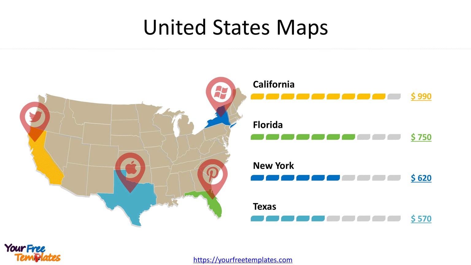
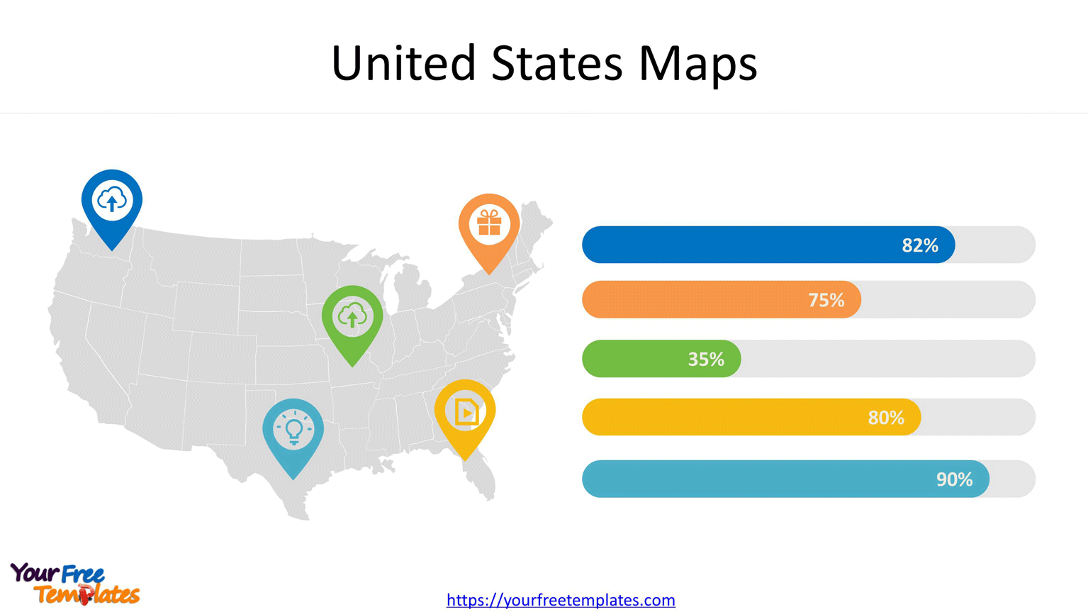
The United States Maps with states Template in PowerPoint format includes two slides. It is about the slide infographic of United States as a whole and by states. For US map, you can also enjoy our USA state maps series, Free USA PowerPoint Map, Free US map with states, US Region Map Template, and US map with Mid-Atlantic States, US maps with South Atlantic States and US New England map.

In the slide above, you can highlight the states with socia media icons to impact the audience on the left, then in the right side, use the ediatble chart to make the money to be infographic.
Also try our California, Texas, Florida state county maps, or the most populated cities in the US, such as New York, Chicago, Los Angeles, and Washington DC. The United States Maps would be more attractive with icons, charts.

The slide aboved could be easily adapted to your purpose. Just select the state and relevant icons, different colors, then modify the shape to make sense with the numbers you want to show.
For detailed information on United States, please visit Wikipedia.
Size:220K
Type: PPTX
[sociallocker]
Aspect Ratio: Widescreen 16:9
Click the green button to download it.
Download the 16:9 Template[/sociallocker]


![Digital Marketing: Opportunity, Strategy, and Action Digital marketing is search engine optimization (SEO), search engine marketing (SEM), content marketing, influencer marketing, content automation, campaign marketing, data-driven marketing,[8] e-commerce marketing, social media marketing, social media optimization, e-mail direct marketing, Display advertising, e–books.](https://yourfreetemplates.com/wp-content/uploads/2019/08/Digital_marketing_1-100x70.gif)


