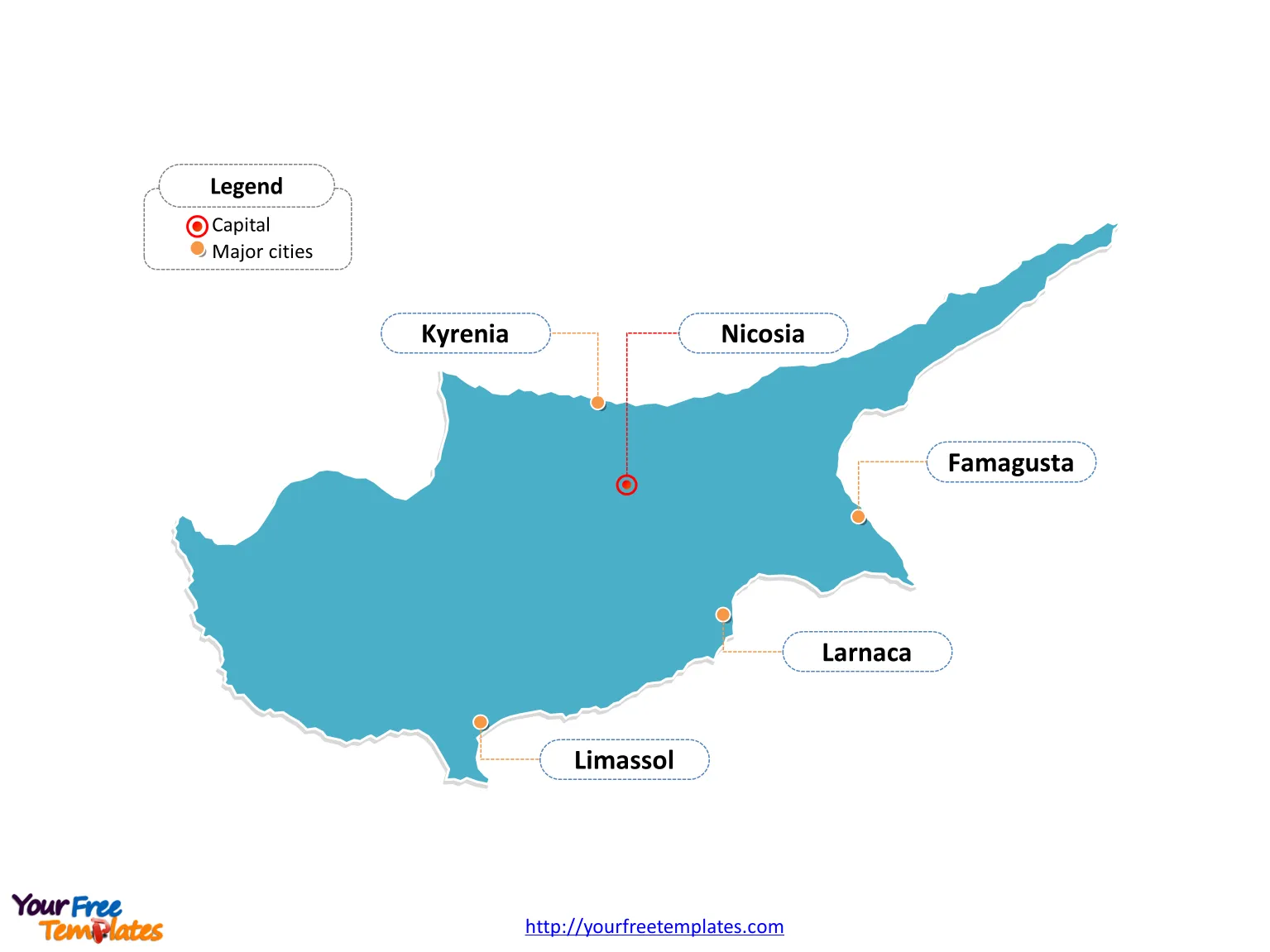
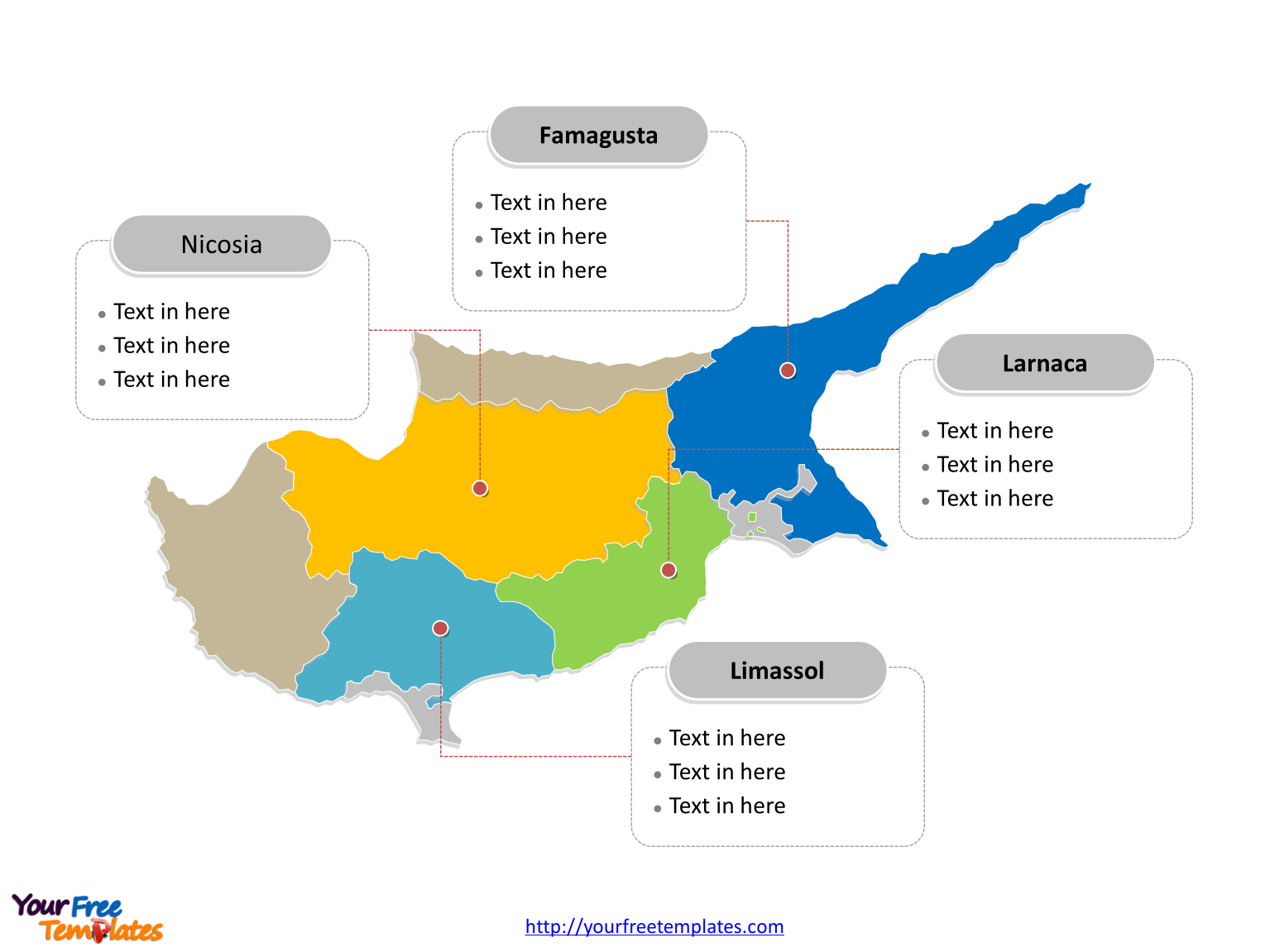
Cyprus Country political map with six districts, labeling major districts, Nicosia, Limassol, Famagusta, and Larnaca. Cyprus Outline map labeled with capital and major cities, Nicosia, Limassol, Larnaca, Famagusta, and Kyrenia.
The Map of Cyprus Template includes two slides.
Slide 1, Country outline map labeled with capital and major cities.
Cyprus is an island country in the Eastern Mediterranean. It is located south of Turkey, west of Syria and Lebanon, northwest of Israel, north of Egypt, and southeast of Greece. Nicosia is the capital and largest city of Cyprus, other major cities including Limassol, Larnaca, Famagusta, and Kyrenia.

Slide 2, Country political map labeled with major districts.
Cyprus is a country divided into six districts; they are Famagusta, Kyrenia, Larnaca, Limassol, Nicosia, and Paphos. Every individual political subdivision is an editable shape.

Size:95K
Type: PPTX
Aspect Ratio: Standard 4:3
Click the blue button to download it.
Download the 4:3 Template
Aspect Ratio: Widescreen 16:9
Click the green button to download it.
Download the 16:9 Template


