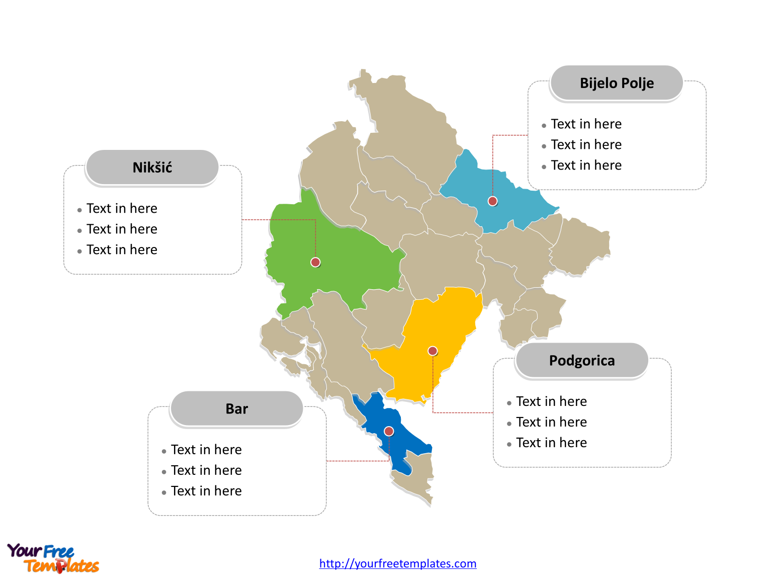
The Montenegro Map Template includes three slides. Montenegro map with twenty-three municipalities, labeling major municipalities, Podgorica, Nikšić, Bijelo Polje, and Bar. Montenegro map labeled with capital and major cities, Podgorica, Nikšić, Pljevlja, Bijelo Polje, and Cetinje.
Slide 1, Montenegro map labeled with capital and major cities.
Montenegro is a sovereign state in Southeastern Europe. It is bordered by Croatia to the west, Bosnia and Herzegovina to the northwest, Serbia to the northeast, Kosovo to the east, and Albania to the south-east. Podgorica is the capital and largest city of Montenegro, other major cities including Nikšić, Pljevlja, Bijelo Polje, and Cetinje.

Slide 2, Montenegro map labeled with regions.
Montenegro is a country divided into 3 regions for statistical and analytical purposes; they are Central region, Coastal region, and Northern region. Every individual political subdivision is an editable shape.

Slide 3, Montenegro map labeled with major municipalities.
Montenegro is a country divided into twenty-three municipalities (opština); they are Andrijevica, Bar, Berane, Bijelo Polje, Budva, Cetinje, Danilovgrad, Gusinje, Herceg Novi, Kolašin, Kotor, Mojkovac, Nikšić, Petnjica, Plav, Plužine, Pljevlja, Podgorica, Rožaje, Šavnik, Tivat, Ulcinj, and Žabljak. Every individual political subdivision is an editable shape. Detailed Montenegro Editable map of political administrative divisions please refer to Wikipedia Montenegro.

Size:145K
Type: PPTX
Aspect Ratio: Standard 4:3
Click the blue button to download it.
Download the 4:3 Template
Aspect Ratio: Widescreen 16:9
Click the green button to download it.
Download the 16:9 Template


