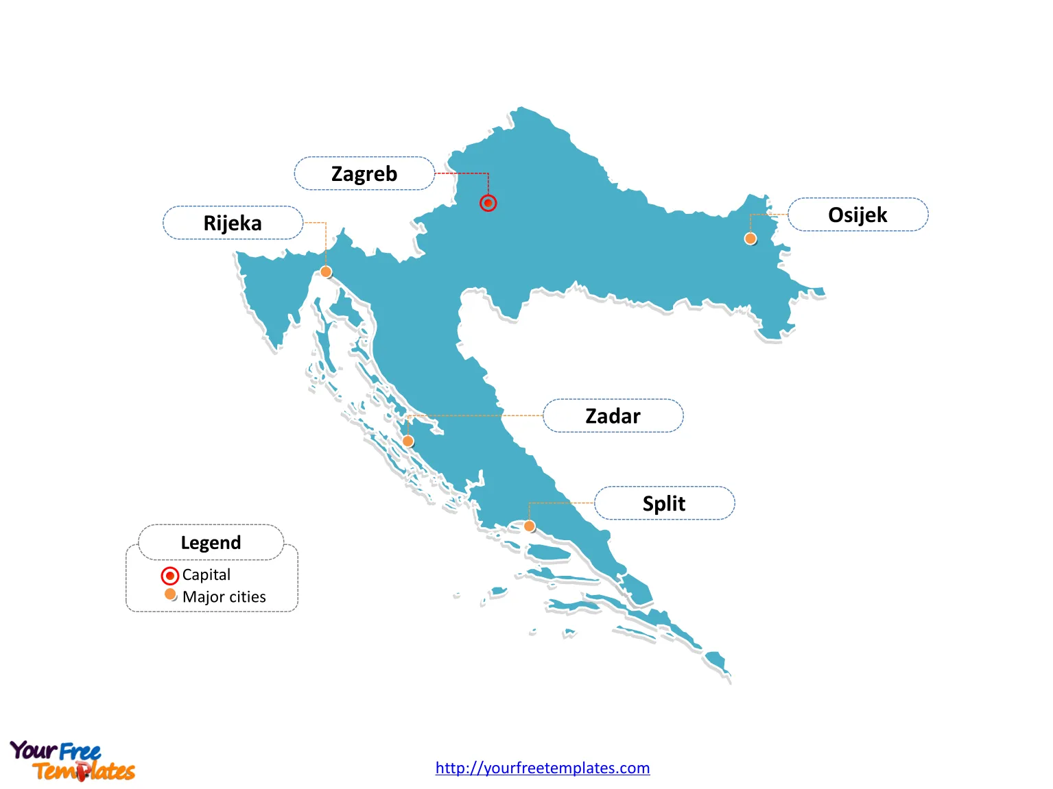
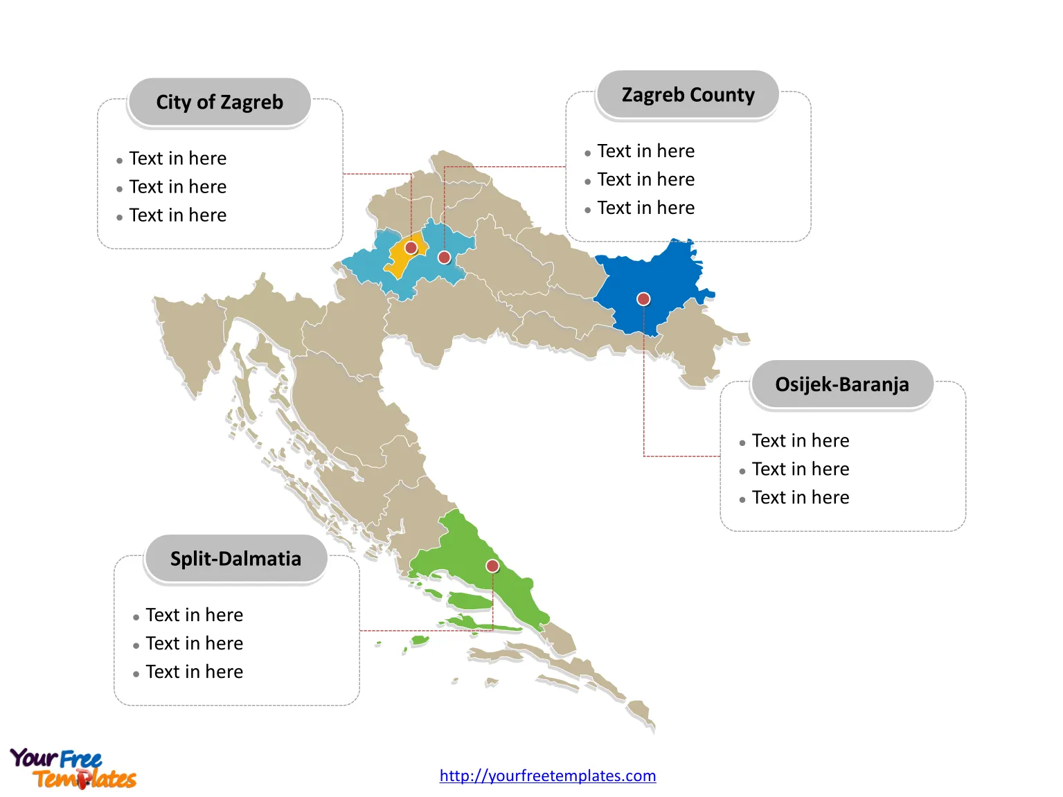
Croatia map with 20 counties and the capital city of Zagreb, labeling major counties, City of Zagreb, Split-Dalmatia, Zagreb County, and Osijek-Baranja. Croatia Outline map labeled with capital and major cities, Zagreb, Split, Rijeka, Osijek, and Zadar.
The Map of Croatia Template includes two slides.
Slide 1, Country outline map labeled with capital and major cities.
Croatia is a democratic parliamentary country in Europe at the crossroads of Central Europe, the Balkans, and the Mediterranean.You can find there are 5 neighboring countries along with this country in the European continent, which are Bosnia and Herzegovina, Hungary, Montenegro, Serbia, and Slovenia. Its capital and largest city is Zagreb, other major cities including Split, Rijeka, Osijek, and Zadar.

Slide 2, Country political map labeled with major administration districts.
Croatia map shows the country divided into 20 counties and the capital city of Zagreb: Bjelovar-Bilogora, Brod-Posavina, Dubrovnik-Neretva, Istria, Karlovac, Koprivnica-Križevci, Krapina-Zagorje, Lika-Senj, Međimurje, Osijek-Baranja, Požega-Slavonia, Primorje-Gorski Kotar, Šibenik-Knin, Sisak-Moslavina, Split-Dalmatia, Varaždin, Virovitica-Podravina, Vukovar-Syrmia, Zadar, Zagreb County, and City of Zagreb. Every individual political subdivision is an editable shape.

Find out more about Croatia in Wiki.
Size: 198K
Type: PPTX
Aspect Ratio: Standard 4:3
Click the blue button to download it.
Download the 4:3 Template
Aspect Ratio: Widescreen 16:9
Click the green button to download it.
Download the 16:9 Template


