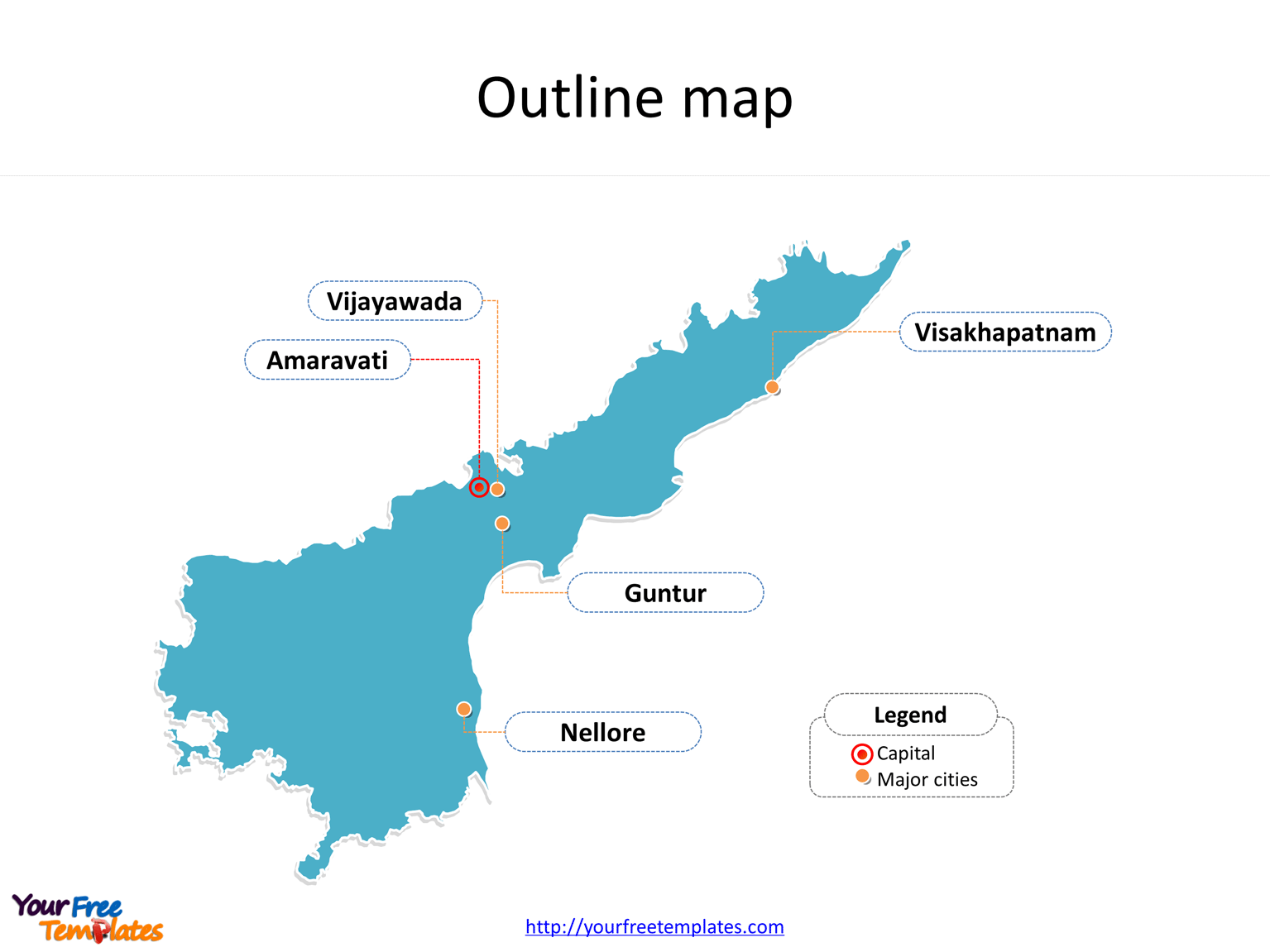
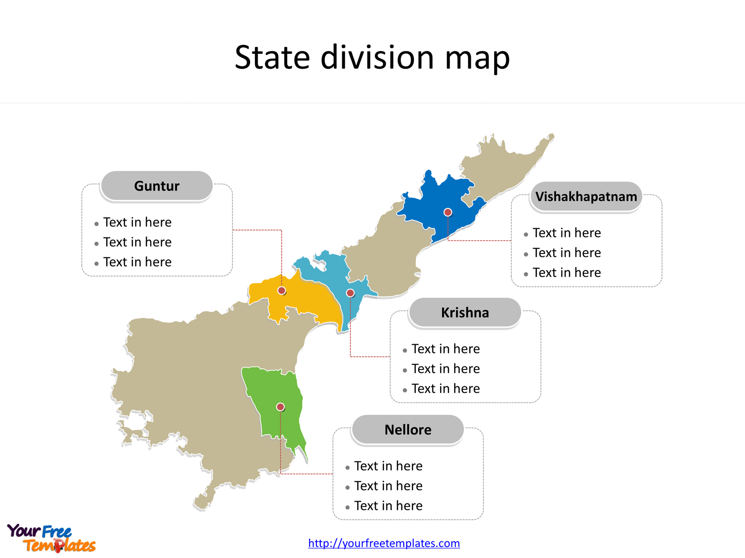
The State of Andhra Pradesh map Template in PowerPoint format includes two slides. Firstly the Andhra Pradesh maps with outline is labeling with capital and major cities. Secondly the Andhra Pradesh maps with outline is labeling with major districts. So our Andhra Pradesh maps PowerPoint templates have capital and major cities on it. They are Amaravati, Visakhapatnam, Vijayawada, Guntur and Nellore. Finally the most populated districts are Guntur, Vishakhapatnam, Krishna, and Nellore.
The Andhra Pradesh maps PowerPoint templates include two slides.
Slide 1, Andhra Pradesh map PowerPoint templates labeling with capital and major cities
Firstly Andhra Pradesh is one of the 29 states of India. Situated in the south-east of the country, it is the seventh-largest state in India, covering an area of 160,205 km2 (61,855 sq mi). Secondly The north-western portion of Andhra Pradesh was separated to form the new state of Telangana on 2 June 2014, and Hyderabad, the longtime capital of Andhra Pradesh, was transferred to Telangana as part of the division. Thirdly the state is bordered by Telangana in the north-west, Chhattisgarh and Odisha in the north-east, Karnataka in the west, Tamil Nadu in the south, and to the east lies the Bay of Bengal.

Slide 2, Andhra Pradesh map PowerPoint templates labeling with the most populated districts
The most populated districts in Andhra Pradesh State are Guntur, Vishakhapatnam, Krishna, and Nellore. What is more, The Tirumala Venkateswara Temple in Tirupati is one of the world’s most visited religious sites, with 18.25 million visitors per year. In a word, you can change the texts, colors, sizes, and add your charts. At the same time you can also refer to the fully labeled State of Andhra Pradesh in Wikipedia. Believe it or not, analysts from marketing research companies, consultants from professional firms think highly of our website yourfreetemplates.com. Most important of all, our maps can help to reduce their efforts and create good-looking maps.

Size:109K
Type: PPTX
Aspect Ratio: Standard 4:3
Click the blue button to download it.
Download the 4:3 Template
Aspect Ratio: Widescreen 16:9
Click the green button to download it.
Download the 16:9 Template


