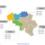
Belgium Map with 10 Provinces and the Capital Region
The Belgium Map Template includes two slides. Belgium map with 10 provinces and one region, highlighting Brussels-Capital Region, Antwerp, Hainaut, East Flanders, and West...
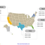
Free USA PowerPoint Map
Free USA PowerPoint map with 50 states and a federal district, highlighting California, Florida, New York, and Texas states. USA PowerPoint map labeled with...
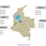
Free Colombia Map with 32 Departments and the Capital District
The Colombia Map Template includes two slides. Colombia map with 32 departments and one capital district, highlighting Antioquia, Atlántico, Bogotá (Capital District), Cundinamarca and...
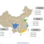
China Map with 34 Provinces, Municipalities, Autonomous Regions and SAR
The China Map Template in PowerPoint format includes two slides, that is, the country outline map and the political map. Firstly, our outline map...
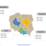
Free Poland PowerPoint Map
Poland political map with 16 voivodeships, highlighting Mazowieckie, Wielkopolskie, Małopolskie and Śląskie voivodeships. Poland outline map labeled with Warsaw, Łódź, Krakow, Wrocław, Poznań, and...
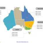
Map Australia Template with 6 States and 2 Territories
Free map Australia or Aus map with six states and two major mainland territories, highlighting New South Wales, Victoria, Queensland, and Western Australia states....
Free Germany Map with 16 States
Germany map with 16 states, highlighting Baden-Württemberg, Bavaria, Hesse, Lower Saxony, and North Rhine-Westphalia states. Germany outline map labeled with Berlin, Hamburg, Munich, Cologne,...
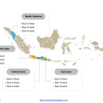
Free Indonesia Map template
The Indonesia Map Template in PowerPoint format includes two slides, that is, the country map with outline and political map with provinces. Firstly, our...
India Map blank templates
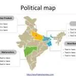
The India Map Template in PowerPoint format includes two slides, that is, the country outline map and political map. Firstly, our country outline map...
Free Japan Map with 47 Prefectures
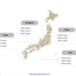
Free Japan map with 47 prefectures, highlighting Aichi, Kanagawa, Osaka, and Tokyo prefectures. Japan outline map labeled with Tokyo, Yokohama, Osaka, Nagoya, Sapporo, Kobe,...


