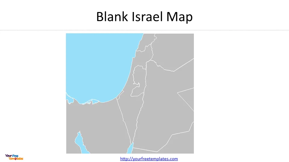
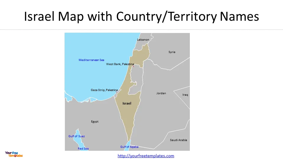
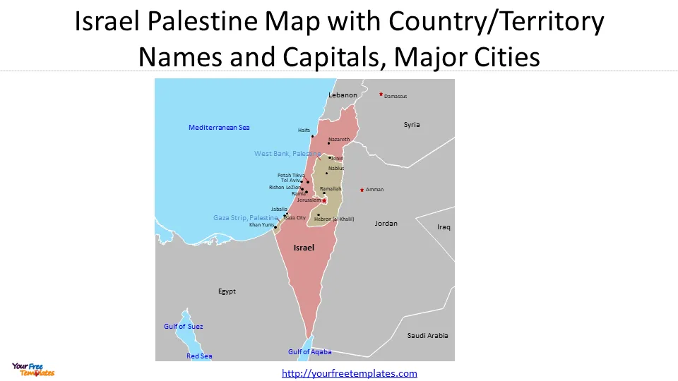
The Israel Palestine Map template in PowerPoint format includes 3 slides. Firstly, we have the blank Israel Palestine map. Secondly, we present the map of Israel Palestine with country/territory names. Thirdly the detailed political map of Israel Palestine with national capitals and major cities. As the same diagram PowerPoint template series, you can also find our Carbon footprint, Carbon neutral, Data Mining, Machine Learning, cloud computing, Artificial Intelligence and BlockChain or Central Europe, Eastern Europe PowerPoint templates.
Slide 1, Blank Israel Palestine Map
The Israel Palestine map presents the neighboring countries around Israel country and Palestine territories, together with seas locations, demonstrating the strategic location of Israel Palestine area.

Slide 2, map of Israel and Palestine with country/territory names
The strategic location of Israel and Palestine in the Middle East has been a major factor in shaping the ongoing conflict in the region. Israel is situated at the crossroads of Europe, Asia, and Africa, making it a significant geopolitical player. Its location provides access to vital trade routes, including the Mediterranean Sea. Additionally, Israel’s proximity to oil-rich countries in the Middle East has made it a strategic ally for many Western nations.
The Palestinian territories, including the West Bank and Gaza Strip, also hold strategic importance. The West Bank is adjacent to Jordan and provides a land connection between Jordan and Israel. Furthermore, the Gaza Strip borders Egypt, which has implications for regional security and control over borders.

The strategic location of these territories has made them a focal point for competing interests and regional power dynamics. Various stakeholders, including neighboring Arab states, have been involved in the conflict due to their own strategic concerns. The ongoing conflict in Israel and Palestine is not solely based on religious or ethnic disputes but also has deep-rooted geopolitical implications.
Slide 3, Israel Palestine Map with national capitals and major cities
The capital of Israel is Jerusalem which has been defined by Jerusalem Law. Meanwhile Tel Aviv is the largest city in Israel and is often mistaken as the capital due to its modern features and population.
- Tel Aviv is indeed considered the economic center of Israel. It is a bustling metropolis located on the country’s Mediterranean coastline.
- Haifa is the third-largest city in Israel. It is known for its beautiful Baha’i Gardens, which are a popular tourist attraction and a UNESCO World Heritage Site.
- Rishon LeZion is a city located in central Israel, just southeast of Tel Aviv. It is the fourth-largest city in Israel and has a population of over 250,000 people. Rishon LeZion is known for its historical significance, as it was one of the first modern Jewish settlements in the country.
- Petah Tikva, also known as the “Gateway to Hope,” is a city in western Israel, located 11 kilometers east of Tel Aviv. With a population of 231,000 people, Petah Tikva is considered the oldest agricultural settlement by Zionist Jews in the 19th century. The city is known for its industrial activities.
- Palestine major cities including Gaza City (Ghazzah), Hebron (al-Khalil), Nablus, Khan Yunis, Jabalia, Rafah, Jenin, and Ramallah.

For other interesting maps, pls visit our ofomaps.com
Size:109K
Type: PPTX
Aspect Ratio: Standard 4:3
Click the blue button to download the maps.
Download the 4:3 Template
Aspect Ratio: Widescreen 16:9
Click the green button to download the maps.
Download the 16:9 Template


