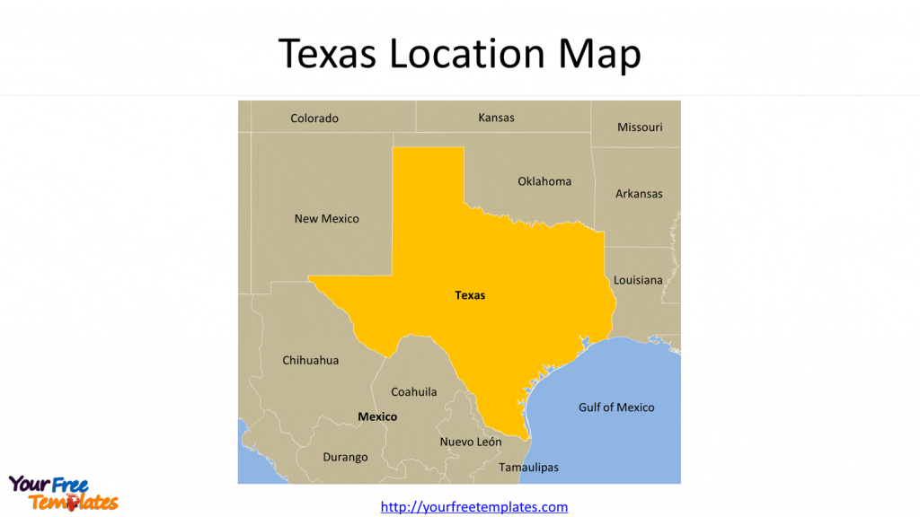
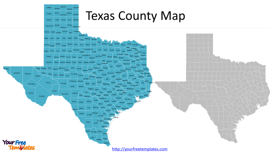
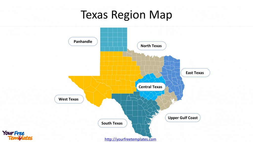
The Texas county map Template in PowerPoint format includes 9 slides. Firstly the Texas map with neighboring states and countries. Secondly the Texas county map labeled with county names. The third is the Texas county map grouped by region. The remaining slides are Texas Councils of Government, Texas State House Districts, Texas State Senate Districts, Texas Congressional Districts, and Texas State Board of Education Districts. You can also find our Virtual Reality, Carbon neutral, Circular economy, Carbon footprint, Data Mining, Machine Learning, cloud computing, Artificial Intelligence and BlockChain templates.
Slide 1, Texas location map
Our State of Texas map is for the southernmost state in the southern region of the United States; the neighboring states are New Mexico, Arkansas, Oklahoma and Louisiana, Mexico is the country with land border with Texas. The Mexico Gulf and Atlantic Ocean are surrounding the state. Other populated states are Florida and Pennsylvania.

Slide 2, US Texas county map with 254 counties
There are 254 Counties in our Texas County Map. You can check each county’s information through Wikipedia’s List of counties in Texas.

Slide 3, Texas county map by region
It is known that this State is divided into 7 regions, which are Panhandle, North Texas, Central Texas, East Texas, West Texas, South Texas, and Upper Gulf Coast. They are the Natural Regions.


