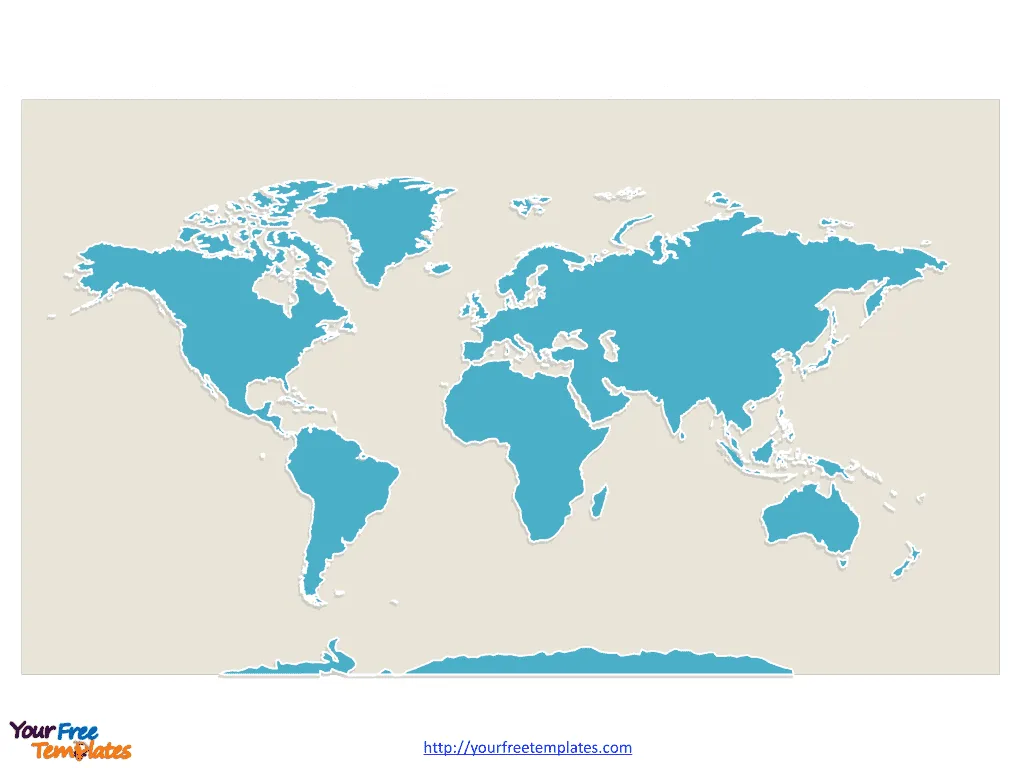
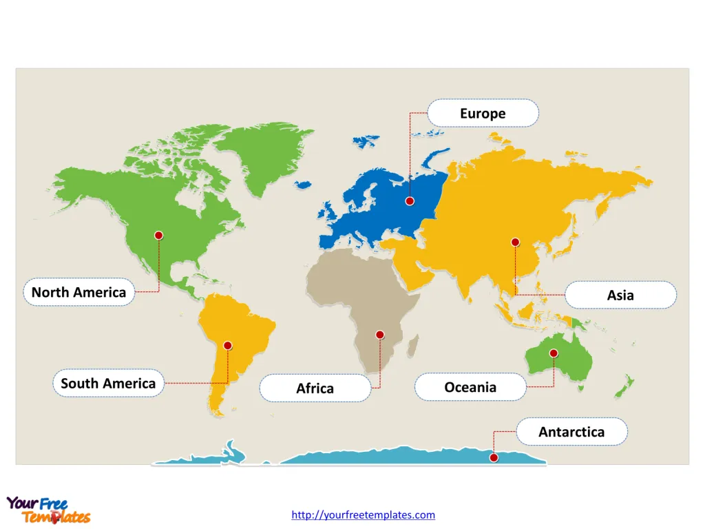
The World map with continents Template in PowerPoint format includes two slides, that is, the outline of the globe and the boundary of continent. Firstly, our blank continent map printable is outline only. Secondly, there are 7 continents in our World map free PowerPoint templates.
Exploring the Seven Continents of the World
The Earth is a vast mosaic of landscapes, cultures, and ecosystems, divided into seven large land masses known as continents. Each continent has its own unique features and characteristics that contribute to the diversity of our planet. Here we explore these seven continents, highlighting what makes each one special.
Slide 1, World map with continents as a whole outline, blank continent map printable
Our first slide is for the planet Earth we are living on. Firstly the Pacific Ocean is surrounding the land from the east. Secondly Indian Ocean is surrounding the land from the south. Thirdly the Arctic Ocean is surrounding World from the north. Finally the Atlantic Ocean is surrounding World from the west. You can use our World map free PowerPoint templates.

Slide 2, World map with continents labeling with continents names.
It is noted that A continent is one of several very large landmasses on Earth. It is generally regarded that there are up to seven continents around the world. World and the continents are: Asia, Africa, north america south america, Antarctica, Europe, and Australia by the area. What is more, the oceans are surrounding the continents, namely, the Pacific, Atlantic, Indian, Southern (Antarctic), and Arctic Oceans.
Each continent has its own story, and together, they compose the complex narrative of our planet. Exploring these continents reveals the multiplicity of Earth’s environments and the incredible variety of life that calls it home.
- Asia
Asia is the world’s largest and most populous continent, home to a myriad of cultures, languages, and religions. It boasts some of the planet’s oldest civilizations, and its landscapes range from the frozen tundra of Siberia to the tropical rainforests of Indonesia. Landmarks like the Great Wall of China and the Taj Mahal, along with rapidly growing cities like Tokyo and Shanghai, reflect its rich history and dynamic future.
- Europe
Europe is rich in history and is a political and economic powerhouse. Despite its relatively small size, it has had a profound impact on global affairs. Europe’s landscapes range from the northern Arctic regions to the Mediterranean’s sunny beaches, and it is home to landmarks like the Eiffel Tower and the Colosseum.
- North America
North America is a land of natural wonders, from the Canadian Arctic’s icy landscapes to the tropical Caribbean islands. It is home to the world’s third-largest country, the United States, as well as Canada and Mexico. The continent’s varied geography includes the Rocky Mountains, the Great Plains, and the Grand Canyon.

- South America
South America offers lush rainforests, majestic mountains, and vibrant cultures. The Amazon Rainforest, the largest in the world, and the Andes Mountains, one of the highest mountain ranges, are among its natural treasures. The continent is also known for the diverse heritage of its people and the ancient Incan city of Machu Picchu.
- Africa
Africa is known for its diverse wildlife and vast savannas. It is the second-largest continent and is considered the birthplace of humankind. Africa’s Sahara Desert is the largest hot desert in the world, while the Nile River is the longest river. The continent’s cultural richness is seen in its art, music, and traditions.
- Australia
Australia, often called “the Land Down Under,” is known for its unique wildlife, such as kangaroos and koalas, and natural wonders like the Great Barrier Reef. It is the smallest continent and also includes the island of Tasmania and numerous smaller islands. Australia’s indigenous cultures, surfing beaches, and the vast Outback define its identity.
- Antarctica
Antarctica is the coldest, windiest, and driest continent. It is covered almost entirely by ice and is the only continent without a permanent human population. Scientists from around the world come to study its climate and wildlife, such as penguins and seals.
What is more, every individual continent is an editable shape. The labels and shapes are grouped by layers. In a word, you can change the texts, colors, sizes, highlight some map shapes, and add your charts. At the same time you can also refer to the fully labeled World map with continents in Wikipedia.
Size: 196K
Type: PPTX
Aspect Ratio: Standard 4:3
Click the blue button to download it.
Download the 4:3 Template
Aspect Ratio: Widescreen 16:9
Click the green button to download it.
Download the 16:9 Template


