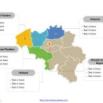
Belgium Map with 10 Provinces and the Capital Region
The Belgium Map Template includes two slides. Belgium map with 10 provinces and one region, highlighting Brussels-Capital Region, Antwerp, Hainaut, East Flanders, and West...
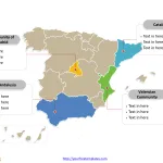
Free Spain Map with 17 Communities
The Spain Map PowerPoint Template with two slides. Firstly, our Spain map PowerPoint templates have capital and major cities on it. Secondly, there are...
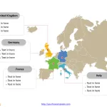
Europe Map free templates
The Europe Map Template in PowerPoint format includes two slides, that is, the continent outline map and political map. Firstly, our maps of europe...
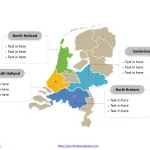
Free Netherlands Map with 12 Provinces
The Netherlands Map Template includes two slides. Netherlands map with 12 provinces, highlighting Gelderland, North Brabant, North Holland, and South Holland provinces. Netherlands map...
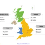
Free United Kingdom Map with 4 Countries
The United Kingdom map Template in PowerPoint format includes two slides. Firstly the UK map with outline is labeling with capital and major cities....
Denmark Map with 5 Regions
The Denmark Map Template includes two slides. Denmark map with 5 political regions, highlighting Capital Region of Denmark, Central Denmark Region, North Denmark Region,...
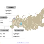
Free Russia Map with 83 Federal Subjects
The Russia Map Template includes two slides. Russia map with 83 federal subjects, highlighting Leningrad Oblast, Moscow Oblast, Sverdlovsk Oblasts, and Krasnodar Krai. Russia...


