Free Republic of Ireland Editable Map
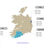
Republic of Ireland map with thirty-one local authorities, labeling major counties, Dublin, Cork, Fingal, and South Dublin. The country Outline map labeled with capital...
Free EMEA Map with 100+ Countries
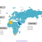
The EMEA Map Template includes three slides. EMEA Region Map with all African countries, European countries and Middle East countries. First is Map of...
Exploring Minsk: A Comprehensive Guide to the Capital of Belarus
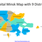
Belarus is a country that is often overlooked by travelers, but it has a lot to offer. Minsk, in particular, is a city that...
Map of Italy Regions
The Map of Italy Regions PowerPoint deck includes 21 maps, with one slide of Italy map with 20 regions; the remaining slides are for...
Free Czech and Slovakia combo Editable Map
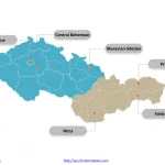
Czech and Slovakia Country political map with thirteen regions, the capital city, and 8 regions respectively, labeling major regions, Central Bohemian Region, Prague, Moravian-Silesian...
Free Romania Map with 41 Counties and One City
The Romania Map Template includes two slides. Romania map with 41 counties and one city, highlighting Bucharest, Iași County, Prahova County, and Bacău County....
Free Latvia Editable Map
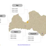
Latvia Country political map with 110 one-level municipalities and 9 republican cities, labeling major cities, Rīga, Daugavpils, Liepāja, and Jelgava. Latvia Outline map labeled...
Free Scotland Map
The Scotland map Template includes two slides. Scotland map with 32 council areas, labeling with major council areas, Glasgow City, City of Edinburgh, Fife,...
Free San Marino Editable Map
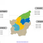
San Marino map with nine municipalities, labeling major municipalities, Serravalle, Borgo Maggiore, San Marino, and Domagnano. The country outline map labeled with capital and...
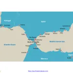
Strait of Gibraltar Map
The Strait of Gibraltar Map Template includes two slides. Gibraltar map with 4 countries, they are Spain, Morocco, Portugal and Algeria, labeling 17 important...


