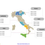
Italy Map with 20 Regions
The Italy Map PowerPoint Template includes two slides, that is, the Italy outline map and Italy political map. Firstly, our Italy PowerPoint map blank...
Free Germany Map with 16 States
Germany map with 16 states, highlighting Baden-Württemberg, Bavaria, Hesse, Lower Saxony, and North Rhine-Westphalia states. Germany outline map labeled with Berlin, Hamburg, Munich, Cologne,...
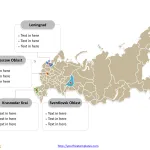
Free Russia Map with 83 Federal Subjects
The Russia Map Template includes two slides. Russia map with 83 federal subjects, highlighting Leningrad Oblast, Moscow Oblast, Sverdlovsk Oblasts, and Krasnodar Krai. Russia...
Eurasia Map with 3 Slides
The Eurasia map Template includes three slides. Eurasia Political map with Europe and Asia countries, the outline map with the combined outline of the...
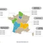
Free France Map with 13 Regions
The France Map Template includes three slides. France map with new 13 regions and old 22 regions, highlighting Auvergne-Rhône-Alpes, Île-de-France, Pays de la Loire,...
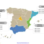
Free Spain Map with 17 Communities
The Spain Map PowerPoint Template with two slides. Firstly, our Spain map PowerPoint templates have capital and major cities on it. Secondly, there are...
Free Turkey Map with 81 Provinces
The Turkey Map Template includes two slides.Turkey Map with 81 provinces, highlighting Istanbul, Ankara, İzmir, and Konya. Turkey map labeled with Istanbul, Ankara, İzmir,...
Free Netherlands Map with 12 Provinces
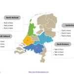
The Netherlands Map Template includes two slides. Netherlands map with 12 provinces, highlighting Gelderland, North Brabant, North Holland, and South Holland provinces. Netherlands map...
General Data Protection Regulation template (1)
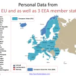
The General Data Protection Regulation Template in PowerPoint format includes three slides. Firstly we have the slide describing 28 EU and 31 EEA member...
Map of Ireland and Northern Ireland
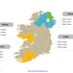
The Map of Ireland and Northern Ireland Template includes three slides. Map of Ireland and Northern Ireland with 34 counties, labeling major counties, Dublin,...


