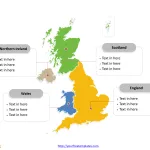
Free United Kingdom Map with 4 Countries
The United Kingdom map Template in PowerPoint format includes two slides. Firstly the UK map with outline is labeling with capital and major cities....
Free Serbia Editable Map
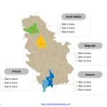
Serbia map with 29 districts, labeling major districts, Belgrade, South Bačka, Kosovo, and Prizren. Serbia Outline map labeled with capital and major cities, Belgrade,...
Free Baden-Württemberg Map Template
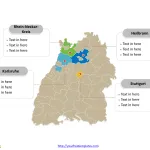
The Baden-Württemberg Map Template (German: Baden-Württemberg karte) in PowerPoint format includes two slides, that is, the State outline map and political map. Firstly, our...
Free templates Meck-Pomm Map
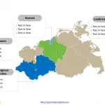
The Free templates of Mecklenburg-Vorpommern Map Template (German: Mecklenburg-Vorpommern karte) in PowerPoint format includes two slides, that is, the Mecklenburg-Vorpommern outline map and Mecklenburg-Vorpommern...
Free Macedonia Editable Map
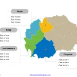
Macedonia Country political map with 80 municipalities, labeling major municipalities, Skopje (10 Municipalities combined), Kumanovo, Bitola, and Tetovo. Macedonia Outline map labeled with capital...
Benelux Map Template
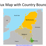
The Benelux is the European region located between France and Germany, composing three countries, i.e. Belgium, the Netherlands, and Luxembourg to form the political...
Free San Marino Editable Map
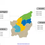
San Marino map with nine municipalities, labeling major municipalities, Serravalle, Borgo Maggiore, San Marino, and Domagnano. The country outline map labeled with capital and...


