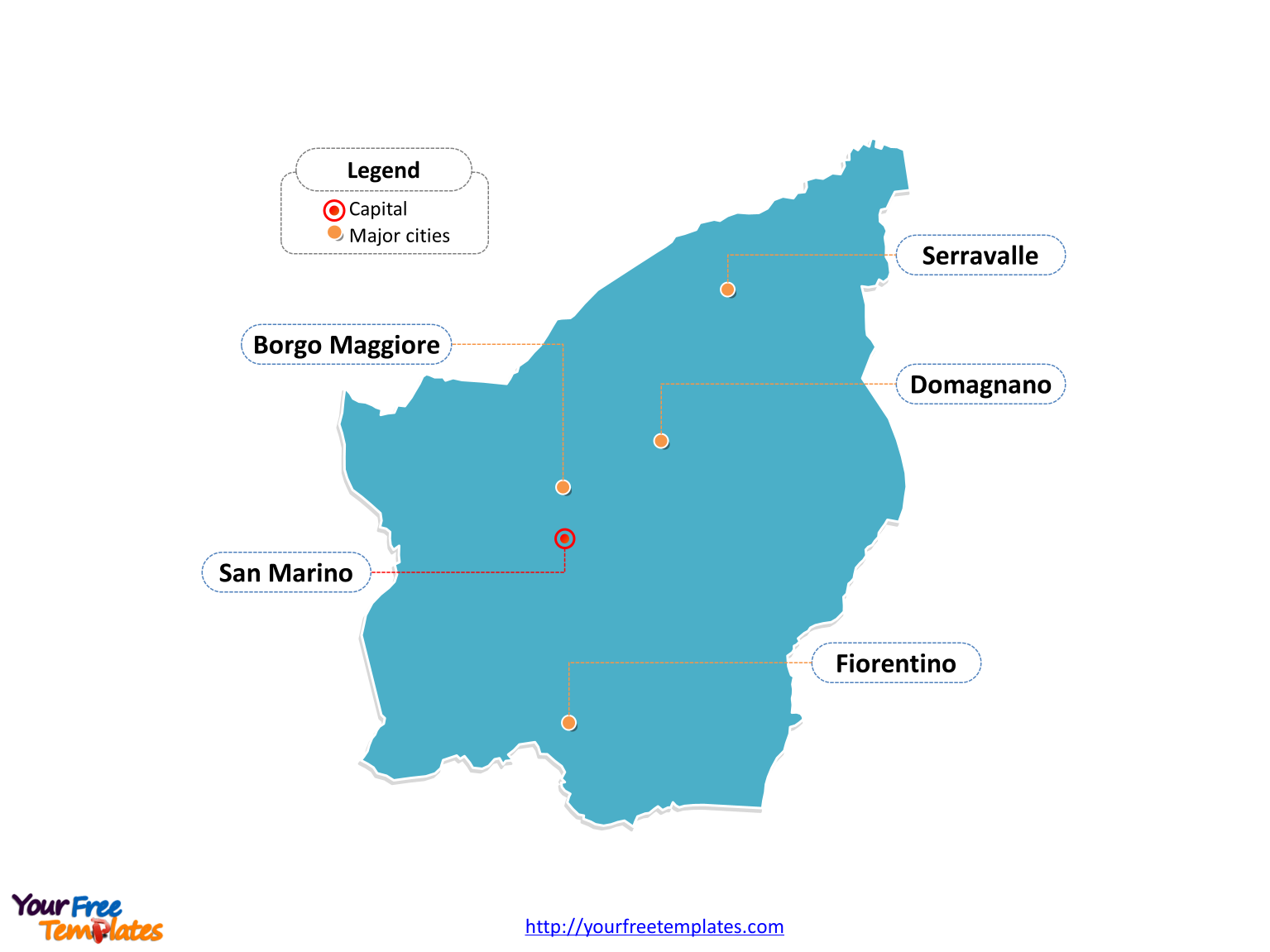
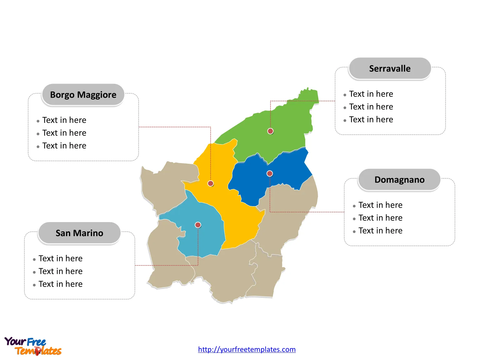
San Marino map with nine municipalities, labeling major municipalities, Serravalle, Borgo Maggiore, San Marino, and Domagnano. The country outline map labeled with capital and major cities, San Marino, Serravalle, Borgo Maggiore, Domagnano, and Fiorentino.
The Map of San Marino Template includes two slides.
Slide 1, Country outline map labeled with capital and major cities.
San Marino is an enclaved microstate surrounded by Italy, situated on the Italian Peninsula on the northeastern side of the Apennine Mountains in Europe. City of San Marino and Dogana is the capital and Largest settlement of San Marino respectively, other major cities including Serravalle, Borgo Maggiore, Domagnano, and Fiorentino.

Slide 2, Country political map labeled with major municipalities.
San Marino map shows the country divided into nine municipalities; they are Acquaviva, Borgo Maggiore, Chiesanuova, Domagnano, Faetano, Fiorentino, Montegiardino, San Marino, Serravalle, and Borgo Maggiore. The most populated municipalities are Serravalle, Domagnano, San Marino and Every individual political subdivision is an editable shape.

Find out more information about San Marino republic in the city council website.
Size:102K
Type: PPTX
Aspect Ratio: Standard 4:3
Click the blue button to download it.
Download the 4:3 Template
Aspect Ratio: Widescreen 16:9
Click the green button to download it.
Download the 16:9 Template


