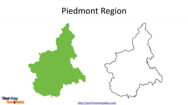
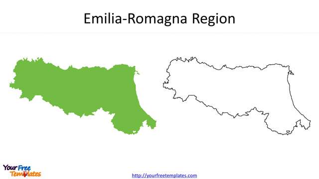
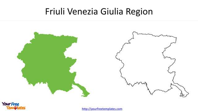
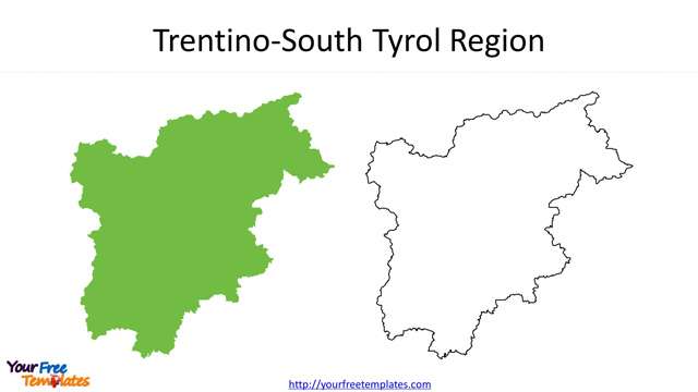
The Map of Italy Regions PowerPoint deck includes 21 maps, with one slide of Italy map with 20 regions; the remaining slides are for the 20 regions.
Slide 1, Italy map with 20 regions
Italy is composing of 20 administrative regions, which are Abruzzo, Aosta Valley, Apulia, Basilicata, Calabria, Campania, Emilia-Romagna, Friuli Venezia Giulia, Lazio, Liguria, Lombardy, Marche, Molise, Piedmont, Sardinia, Sicily, Trentino-South Tyrol, Tuscany, Umbria, and Veneto.
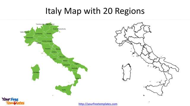
The neighboring countries to Italy are Monaco, France, Switzerland, Austria and Slovenia.
Slide2~21, 20 regions in Italy
Aosta Valley, Liguria, Lombardy, Piedmont are the four regions in the Northwest Italy.
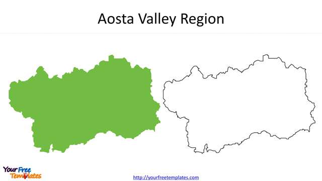
- Aosta Valley is the most northwest wine producing region in Italy. It is close to France in the west, Switzerland in the north, and Italian Piedmont region in the south. This wine production area is located in the center of the Alps. Mont Blanc, the highest peak in Europe, and Dora Baltea are both located in this area.
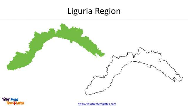
- Ligurian region is located in the southwest corner of Italy, bordering France in the west and bordering on the Ligurian Sea. It is almost all mountainous regions with mild climate and abundant rainfall. It is also one of the smaller regions in Italy. The capital of Liguria is located in Genova.
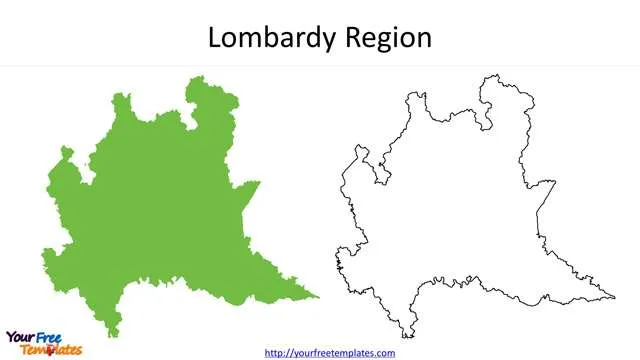
- Lombardia is one of the largest administrative regions in Italy. It is located in the north of the Apennine Peninsula and at the foot of the southern edge of the Alps. Lombardy is the most important industrial region in Italy with developed economy, and its GDP per capita is the highest in Italy. It is near Switzerland in the north, Piemonte in the west, Trentino Altadige and Veneto in the east, and Emilia in the south Lombardy. Milan is not only the capital of Lombardia region, but also the fashion and design centre in the world. The region is dotted with beautiful lakes and mountains. The rich tourism resources fascinate the world.
- There are four regions in the Northeast, which are Emilia-Romagna, Friuli Venezia Giulia, Trentino-South Tyrol, and Veneto regions.
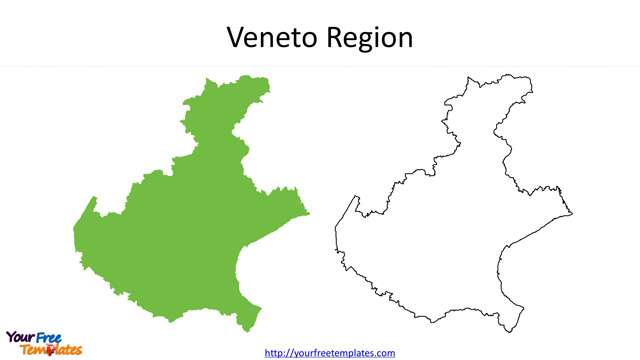
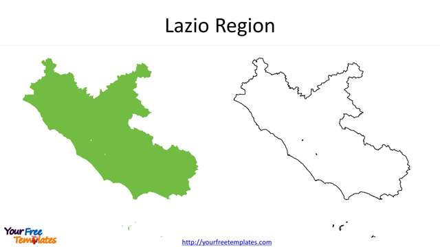
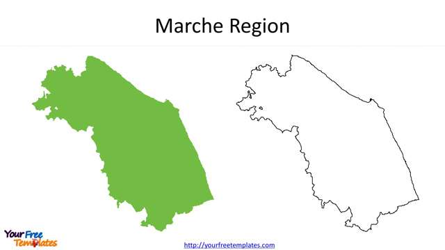
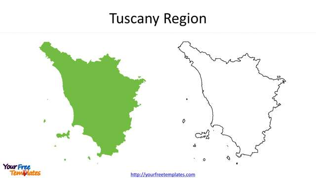
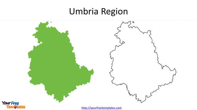
In the centre of Italy, you can find Lazio, Marche, Tuscany, and Umbria.
- Lazio region is one of the regions of Italy. The region is located in the middle west of Italy. The Lazio region governs five provinces, namely Rome Province, Florsinone Province, Latina Province, Leti Province and Viterbo Province, with Rome as the capital. It is one of the most important regions in Italy, accounting for 10% of Italy’s GDP
- Tuscany is located in the central and western part of Italy. Florence is the capital. Tuscany is regarded as the birthplace of the Italian Renaissance. There have always been many famous artists and scientists, such as Petrarch, Dante, Botticelli, Michelangelo, Nicolo Machiavelli, Leonardo da Vinci, Galileo and Puccini. Tuscany also has a unique culinary tradition and is also a famous wine producing region, including Brunello and Chianti Classico.
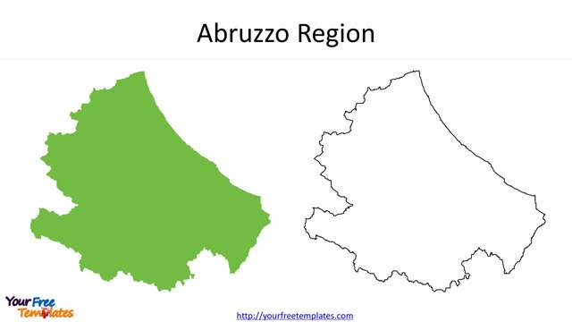
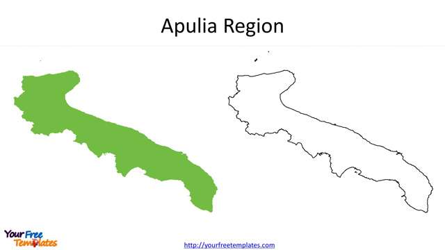
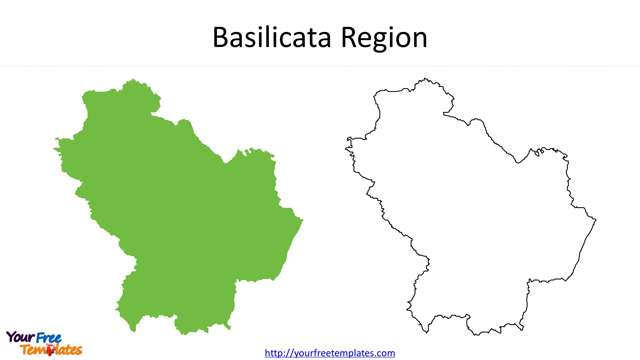
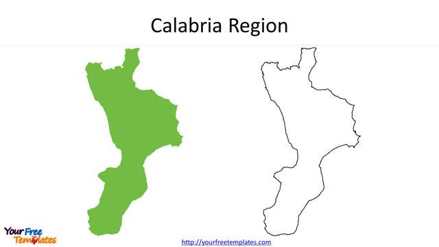
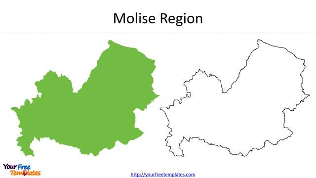
Six regions in the South including Abruzzo, Apulia, Basilicata, Calabria, Campania, and Molise.
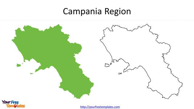
- Campania is located in the south of the Italian peninsula, at the southern foot of the Apennine Mountains, and near the Tyrrhenian Sea. The territory area of Campania region ranks 12th in Italy, but its population ranks second in the country. Agriculture plays a very important role in Campania. Because there are more mountains and less water in inland areas, the main crop planting areas are concentrated in coastal plain areas. The capital is Naples.
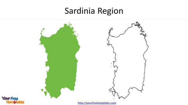
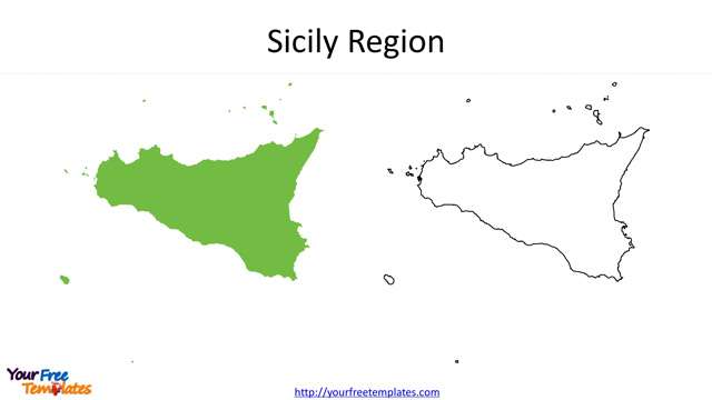
- Sardinia and Sicily are island regions of Italy.
For other interesting maps, pls visit our ofomaps.com
Size:805K
Type: PPTX
[sociallocker]Aspect Ratio: Standard 4:3
Click the blue button to download it.
Download the 4:3 Template
Aspect Ratio: Widescreen 16:9
Click the green button to download it.
Download the 16:9 Template[/sociallocker]


