Switzerland Map with 26 Cantons
The Switzerland map template includes two slides. Switzerland map with 26 cantons, labeling major cantons, Zürich, Bern, Vaud, and Aargau. Switzerland map labeled with...
Austria Map with 9 States
The Austria Map Template includes two slides. Austria map with 9 states, labeling with major states, Vienna, Lower Austria, Upper Austria, and Styria. Austria...
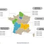
Free France Map with 13 Regions
The France Map Template includes three slides. France map with new 13 regions and old 22 regions, highlighting Auvergne-Rhône-Alpes, Île-de-France, Pays de la Loire,...
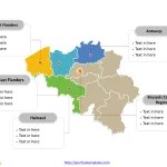
Belgium Map with 10 Provinces and the Capital Region
The Belgium Map Template includes two slides. Belgium map with 10 provinces and one region, highlighting Brussels-Capital Region, Antwerp, Hainaut, East Flanders, and West...
Free Germany Map with 16 States
Germany map with 16 states, highlighting Baden-Württemberg, Bavaria, Hesse, Lower Saxony, and North Rhine-Westphalia states. Germany outline map labeled with Berlin, Hamburg, Munich, Cologne,...
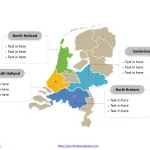
Free Netherlands Map with 12 Provinces
The Netherlands Map Template includes two slides. Netherlands map with 12 provinces, highlighting Gelderland, North Brabant, North Holland, and South Holland provinces. Netherlands map...


