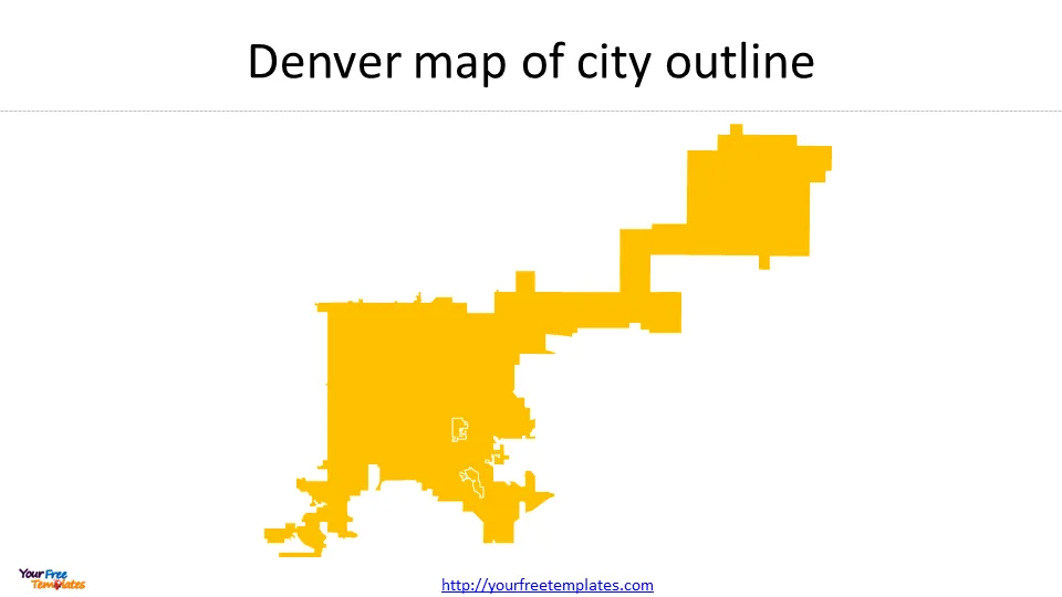
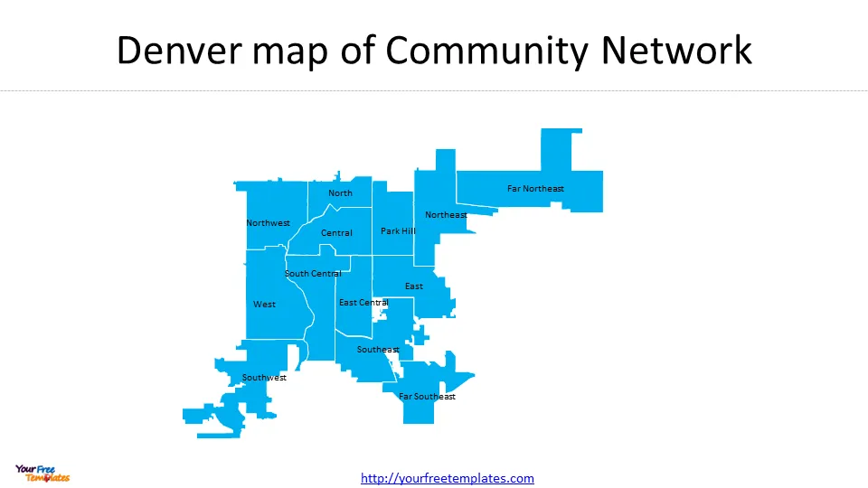
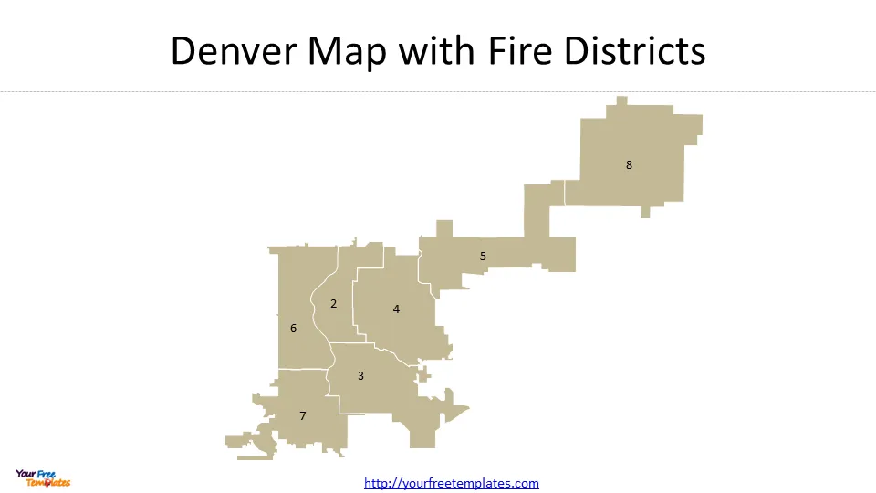
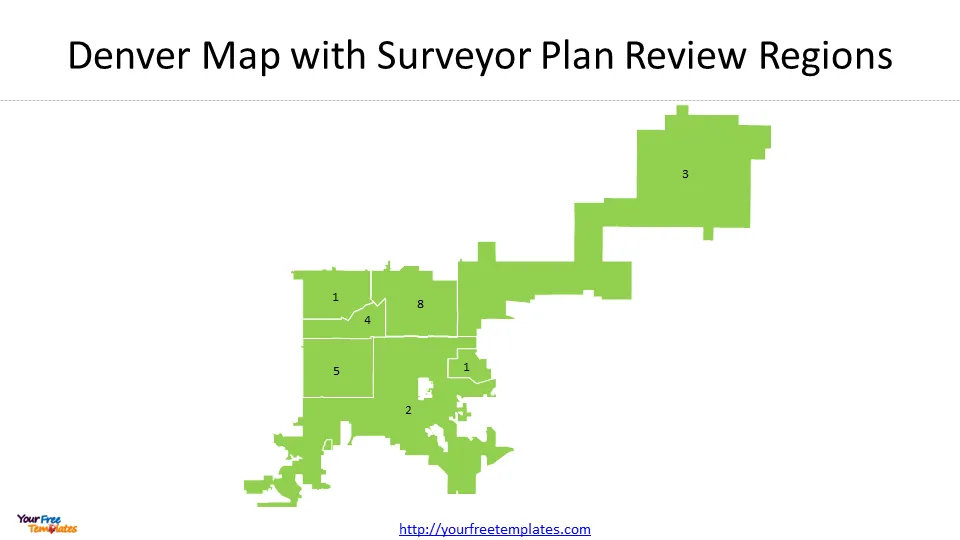
The Denver map template in PowerPoint format includes 4 slides. Firstly, we have the Denver map outline for City and County of Denver. Secondly, we present the Community Network for this city. Thirdly the Dever County map has 7 Fire Districts and the fourth for 6 Surveyor Plan Review Regions. As the same diagram PowerPoint template series, you can also find our Carbon footprint, Carbon neutral, Data Mining, Machine Learning, cloud computing, Artificial Intelligence and BlockChain PowerPoint templates.
Slide 1, Denver map with city outline.
Denver, Colorado is the state capital and largest city in Colorado, with a population of 699,288 in 2023. It is located at a high elevation in the Rocky Mountains and offers a wide range of attractions and activities for visitors. The city has a diverse economy, with industries such as telecommunications, biomedical technology, mining, construction, real estate, and tourism. Denver is known for its cultural attractions, including museums, parks, and music venues. It also has professional sports teams in football, soccer, baseball, basketball, and hockey. Outdoor activities like hiking, rafting, and skiing are popular in the area. Denver has a vibrant nightlife, especially in the Lower Downtown area. Boulder, a nearby city, also offers nightlife options and cultural events.

Slide 2, Denver map with Community Network
The Denver Community Network refers to the Community Transportation Network initiative in Denver, Colorado. It is designed to create safer and more connected routes for pedestrians, cyclists, and other non-motorized forms of transportation. The initiative aims to increase the number of households within a quarter-mile of a high comfort bikeway and encourage more bike, transit, and pedestrian commuters. The network includes the implementation of nearly 27 miles of bicycle facilities in Denver between 2020 and 2022. The focus is on building high-quality bike infrastructure that provides separation between cars and bikes, ensuring a comfortable ride for people of all skill levels. The project also explores solutions to improve pedestrian visibility and safety at intersections.

Slide 3, Denver map with Fire Districts
Denver Fire Districts refer to the different geographical areas within Denver that are served by the Denver Fire Department (DFD). The DFD covers a total of 165 square miles in Denver and Arapahoe Counties, Colorado. It can be inferred that the DFD operates multiple fire stations strategically located throughout the city to ensure efficient emergency response and coverage. Some notable fire stations within Denver include Station 1 in Downtown, Station 2 in Gateway, Station 3 in Five Points, Station 4 in Lower Downtown, and Station 5 in Glendale.

Slide 4, Denver map with Surveyor Plan Review Regions
Denver Surveyor Plan Review Regions refer to the geographical areas within the City and County of Denver that are assigned to the city surveyor for land survey expertise and review of private and city development projects. The surveyor boundaries generally correspond to the NE (Northeast), NW (Northwest), SE (Southeast), and SW (Southwest) quadrants of the city, with additional special areas as assigned to the surveyor.

All the data is from City of Denver Open Data Catalog with the CC BY 3.0 license terms.
For other interesting maps, pls visit our ofomaps.com
Size:118K
Type: PPTX
Aspect Ratio: Standard 4:3
Click the blue button to download the maps.
Download the 4:3 Template
Aspect Ratio: Widescreen 16:9
Click the green button to download the maps.
Download the 16:9 Template


