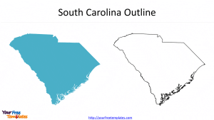
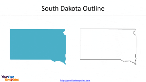
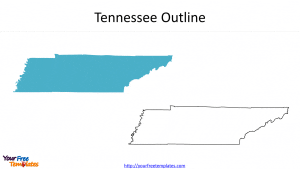
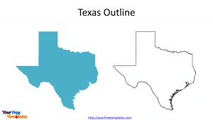
The 50 State shapes PowerPoint deck includes 54 maps, with one slide of The United States map; the remaining slides are for the 50 state outlines and two Overseas Territories, including Puerto Rico and Virgin Islands, each featuring the outline and the colored State.
You can also check our US state maps as below,
Slide 1, Blank US state map
The US state map is composing of 50 states, one district, and two Overseas Territories. It is appropriate for the purpose of presenting the whole country, while Alaska and Hawaii are showed nearby but actual long distance from the mainland. At the same time, the size of Alaska is not the size proportional to the mainland, the smaller size just to depict the whole states. If you want to use shapes of individual state, please select from the state slide instead of picking it from the whole state slide and amplifying it, resulting in outlines not in line with professional style.
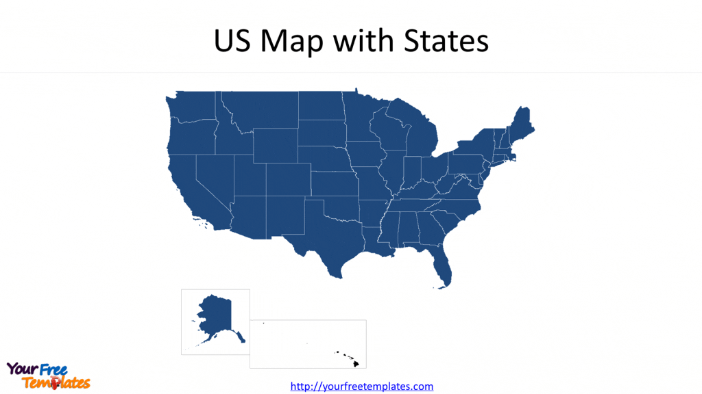
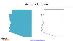
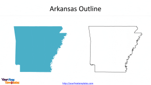
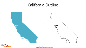
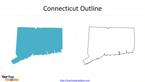
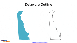
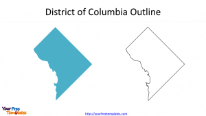
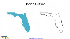
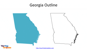
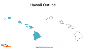
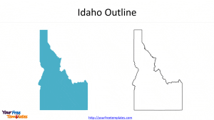
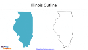
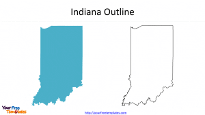
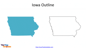
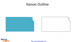
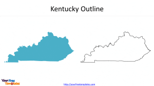
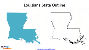
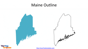
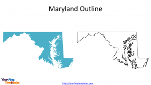
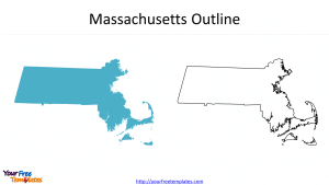
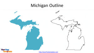
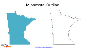
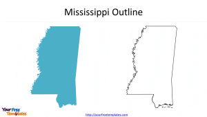
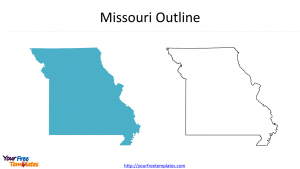
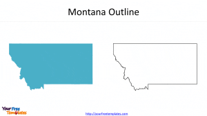
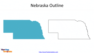
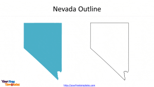
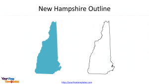
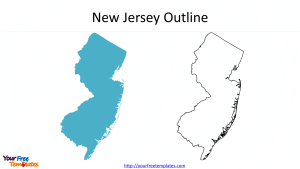
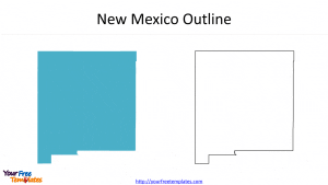
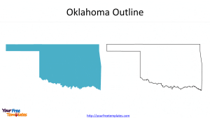
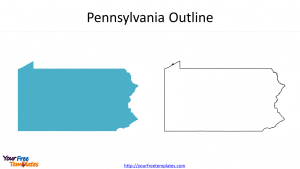
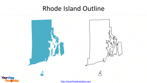
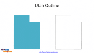
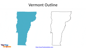
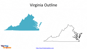
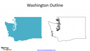
Slide 2~52, 50 US state outlines plus the Washington DC, one with outline and the other is colored.
The 50 states are Alabama, Alaska, Arizona, Arkansas, California, Colorado, Connecticut, Delaware, Florida, Georgia, Hawaii, Idaho, Illinois, Indiana, Iowa, Kansas, Kentucky, Louisiana, Maine, Maryland, Massachusetts, Michigan, Minnesota, Mississippi, Missouri, Montana, Nebraska, Nevada, New Hampshire, New Jersey, New Mexico, New York, North Carolina, North Dakota, Ohio, Oklahoma, Oregon, Pennsylvania, Rhode Island, South Carolina, South Dakota, Tennessee, Texas, Utah, Vermont, Virginia, Washington, West Virginia, Wisconsin, and Wyoming. As for the Washington DC, it is reported that The House has voted to make the district into DC and the Washington DC state in April 2021, but yet to be approved by the Senate.
- From A~H
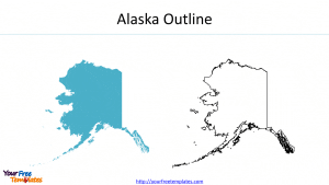
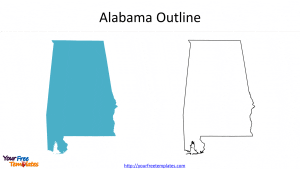

- From I~O
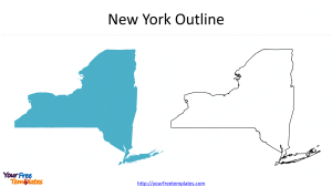
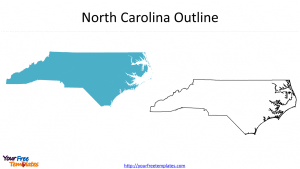
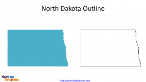
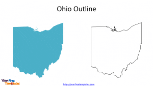
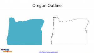
- From P~W
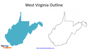
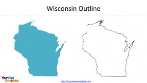
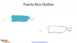
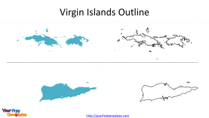
Slide 53~54, two Shapes of the two US Overseas Territories.
Puerto Rico and Virgin Islands are both located in the Caribbean Sea. Puerto Rico has applied to join the United States as the 51st state but yet to be accepted. US Virgin Islands consists of three main islands, which are Saint Croix, Saint Thomas, and Saint John, which has been a famous tourist destination for the world.
For premium maps of US counties by state, please visit our ofomaps.com.
Size:3845K
Type: PPTX
[sociallocker]Aspect Ratio: Standard 4:3
Click the link to download it.
Download the 4:3 Template
Aspect Ratio: Widescreen 16:9
Click the link to download it.
Download the 16:9 Template[/sociallocker]


