

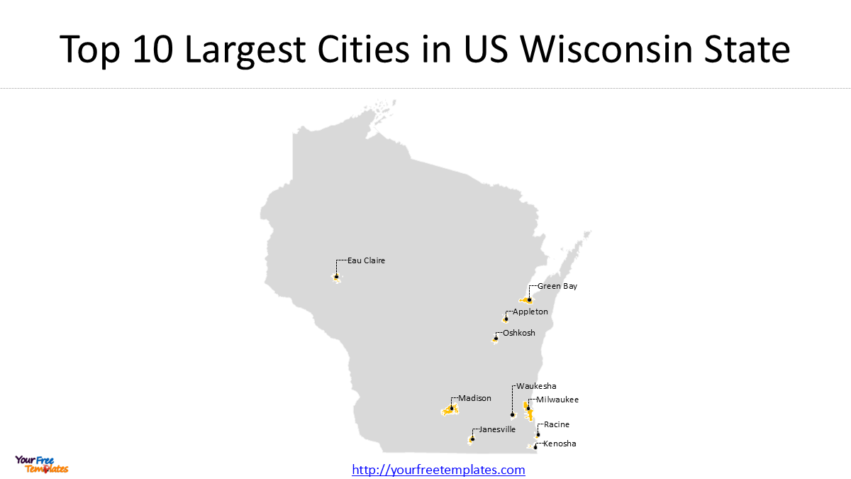
In this guide, we look at the Top 10 cities in Wisconsin by population, show where they are located, compare their recent population changes, and provide an editable Wisconsin cities map for presentations and educational projects.
Wisconsin is home to nearly 6 million people and more than 190 incorporated cities. But the state’s population is concentrated in a relatively small number of major urban centers.
The population ranking below uses the U.S. Census Bureau’s 2020 Census as the primary benchmark, with the latest available 2024 population estimates used to show more recent changes. Wisconsin’s total population was 5,893,718 in the 2020 Census and was estimated at 5,960,975 in 2024.
You can find the other US State Top 10 Cities below.
- The Top 10 Largest Cities in North Carolina: An In-Depth Exploration
- Top 10 biggest city in Texas
- Top Cities in Kentucky State by Population
- Most Dangerous Cities in the U.S.: Top 10 by Total Crime Rate in 2024
- Top 10 Best Cities in Arizona to Live, Work & Visit
- Top 10 Largest Cities in Colorado State -1
- Top 10 Colorado Largest City -2
Top 10 Cities in Wisconsin
| Rank | City | County | 2020 Census | 2024 Estimate |
|---|---|---|---|---|
| 1 | Milwaukee | Milwaukee | 577,222 | 563,531 |
| 2 | Madison | Dane | 269,840 | 285,300 |
| 3 | Green Bay | Brown | 107,395 | 106,311 |
| 4 | Kenosha | Kenosha | 99,986 | 99,578 |
| 5 | Racine | Racine | 77,816 | 78,057 |
| 6 | Appleton | Outagamie / Calumet / Winnebago | 75,644 | 75,344 |
| 7 | Waukesha | Waukesha | 71,158 | 71,461 |
| 8 | Eau Claire | Eau Claire / Chippewa | 69,421 | 72,331 |
| 9 | Oshkosh | Winnebago | 66,816 | 67,242 |
| 10 | Janesville | Rock | 65,615 | 66,428 |
The 2020 figures are official decennial Census counts. The 2024 figures are Census Bureau population estimates, so they should not be treated as a replacement for the 2020 Census counts. For example, the Census Bureau reports 577,222 people for Milwaukee in 2020 and a 2024 estimate of 563,531. Madison increased from 269,840 in 2020 to an estimated 285,300 in 2024.
Wisconsin’s Two Largest Cities
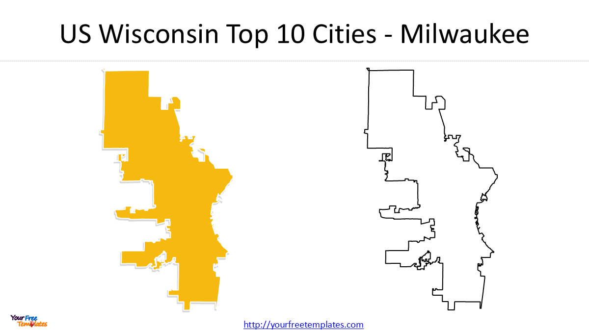
1. Top 10 Cities in Wisconsin – Milwaukee
Population: 577,222 in 2020; 563,531 estimated in 2024
Milwaukee is by far the largest city in Wisconsin. Its 2020 population was more than twice that of Madison, the state’s second-largest city.
The city is located on the western shore of Lake Michigan and is the economic and cultural center of southeastern Wisconsin. Milwaukee’s population declined between the 2020 Census and the 2024 estimate, making it an interesting contrast with the state’s second-largest city.
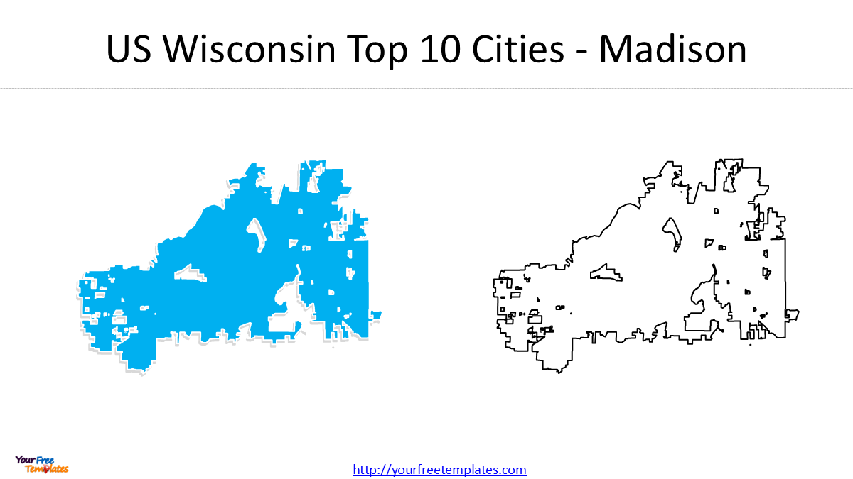
2. Top 10 Cities in Wisconsin – Madison
Population: 269,840 in 2020; 285,300 estimated in 2024
Madison is Wisconsin’s capital and the second-largest city in the state. Unlike Milwaukee, Madison experienced significant population growth after the 2020 Census.
The city is located in Dane County between several lakes and is home to the University of Wisconsin–Madison.
The difference between Milwaukee and Madison is one of the most interesting findings in this ranking: Madison’s 2024 estimated population was approximately 50.6% of Milwaukee’s, compared with about 46.8% in the 2020 Census.
Cities Ranked 3–10
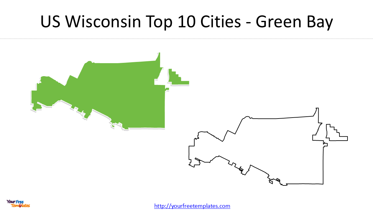
3. Green Bay
Green Bay had a 2020 population of 107,395, making it Wisconsin’s third-largest city. Its 2024 population estimate was 106,311.
The city is located in northeastern Wisconsin at the head of Green Bay, an extension of Lake Michigan. Green Bay is also well known for its professional football team, the Green Bay Packers.
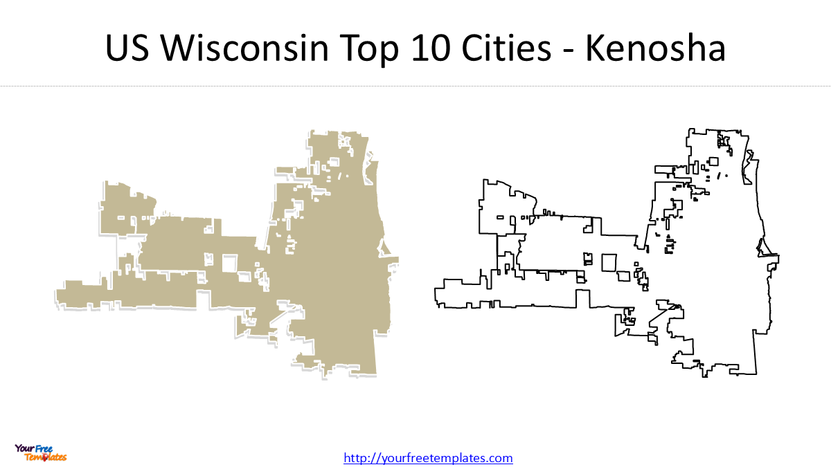
4. Kenosha
Kenosha had 99,986 residents in the 2020 Census and an estimated 99,578 residents in 2024.
Located on the Lake Michigan shoreline in southeastern Wisconsin, Kenosha is relatively close to both Milwaukee and Chicago, giving it an important position within the region’s urban corridor.
5. Racine
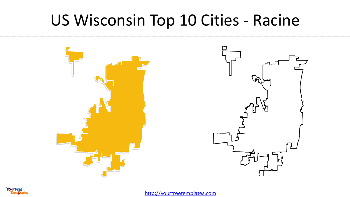
Racine ranked fifth with 77,816 residents in 2020. Its 2024 population estimate increased slightly to 78,057.
Racine is another major Lake Michigan city located between Milwaukee and Chicago.
6. Top 10 Cities in Wisconsin – Appleton
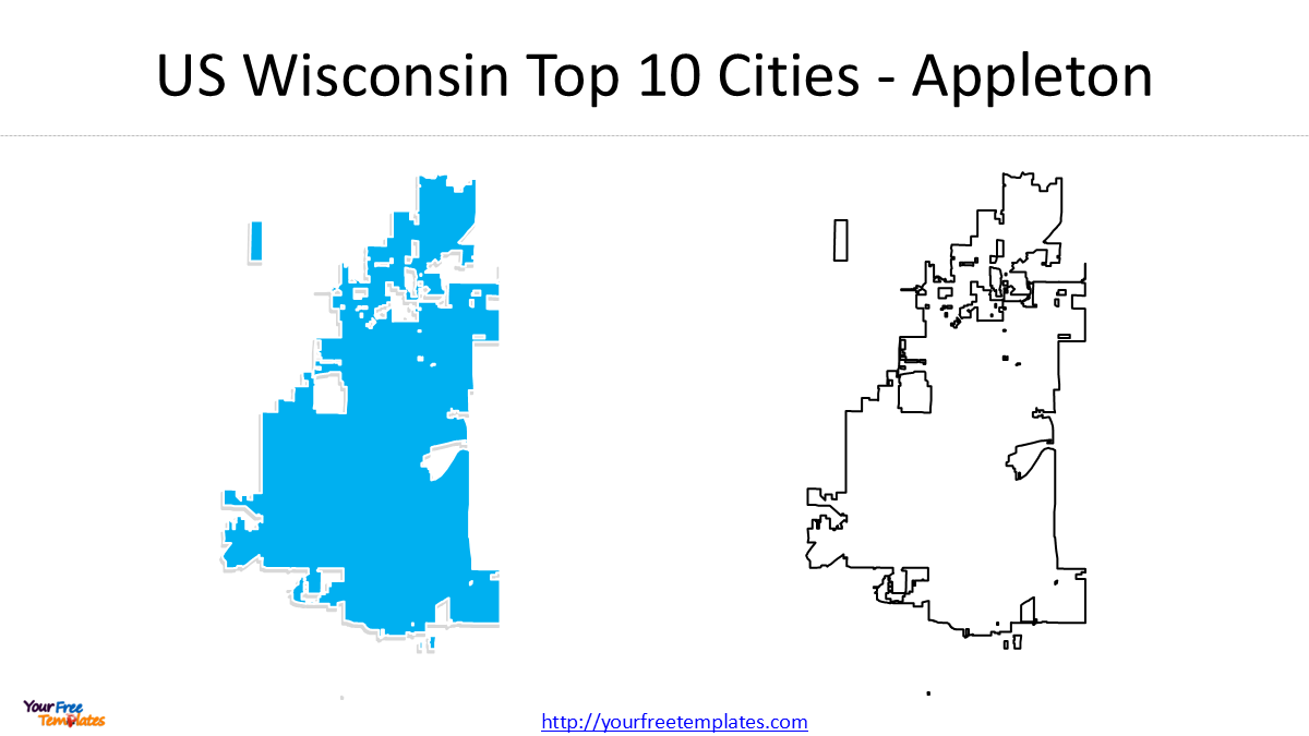
Appleton had 75,644 residents in 2020 and an estimated 75,344 residents in 2024.
One interesting geographic detail is that Appleton is associated with three counties: Outagamie, Calumet and Winnebago. This makes it particularly useful to show on a Wisconsin city-and-county map.
7. Waukesha
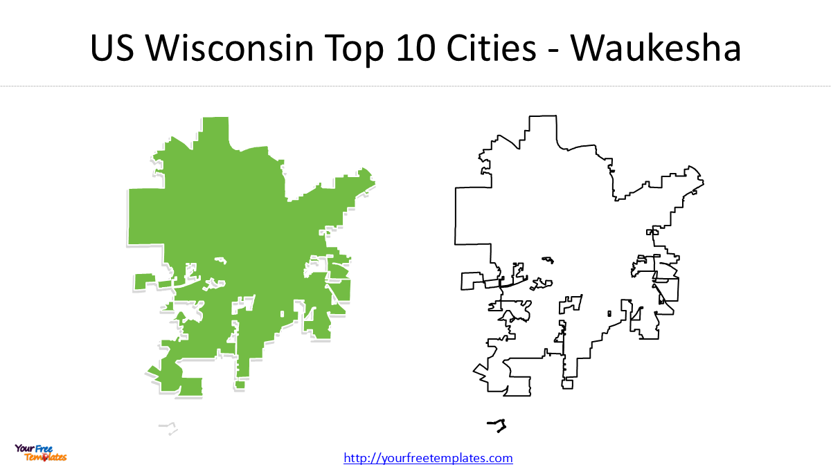
Waukesha ranked seventh with 71,158 residents in 2020. Its 2024 estimate was 71,461.
Waukesha is located immediately west of Milwaukee and forms part of the Milwaukee metropolitan area.
8. Eau Claire
Eau Claire had 69,421 residents in 2020 and an estimated 72,331 in 2024.
This is one of the more notable changes in the ranking. By 2024, Eau Claire’s estimated population had grown beyond its 2020 Census count and remained ahead of its 2020 ranking position in terms of population growth.

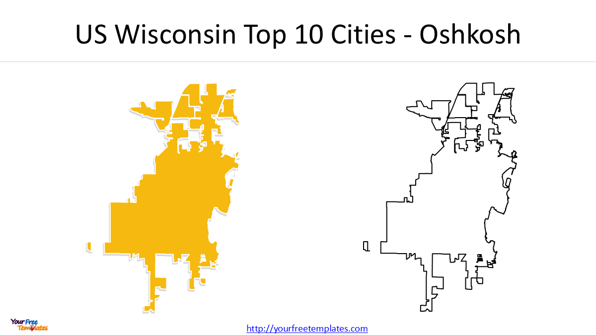
9. Oshkosh
Oshkosh had 66,816 residents in 2020 and an estimated 67,242 in 2024.
Located on Lake Winnebago, Oshkosh is an important regional center in east-central Wisconsin.
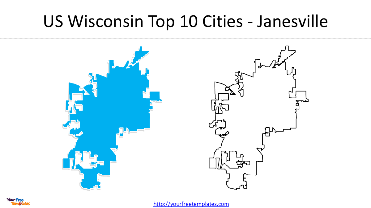
10. Janesville
Janesville completes the top 10, with 65,615 residents in the 2020 Census and an estimated 66,428 in 2024.
Located in southern Wisconsin along the Rock River, Janesville is the largest city in Rock County.
What Does the Ranking Tell Us?
The ranking reveals several interesting patterns that are easy to miss if you only look at a list of population figures.
1. Milwaukee is in a different population class
Milwaukee had more than 577,000 residents in 2020, while Madison had about 270,000.
That means Milwaukee was approximately 2.14 times larger than Madison.
The gap is still substantial in the 2024 estimates, although Madison’s population has been growing while Milwaukee’s has declined.
2. Madison is the major growth story
Madison increased from 269,840 in 2020 to 285,300 in the 2024 estimate, an increase of approximately 15,460 people, or 5.7%.
At the same time, Wisconsin as a whole grew by only about 1.1% from its 2020 population base to the 2024 estimate.
This makes Madison one of the clearest examples of population concentration within Wisconsin.
3. The middle of the ranking is surprisingly close
Green Bay, Kenosha, Racine, Appleton, Waukesha and Eau Claire form a much tighter group than the gap between Milwaukee and Madison.
For example, the 2020 populations of Racine, Appleton, Waukesha and Eau Claire were all within roughly 12,000 residents of one another.
This makes a proportional symbol map or ranked city map particularly useful for visualizing the differences.
4. Most of the largest cities are concentrated in southern and eastern Wisconsin
The largest cities are not evenly distributed across the state.
Milwaukee, Madison, Kenosha, Racine, Appleton, Waukesha, Oshkosh and Janesville are concentrated in the southern and eastern portions of Wisconsin, while Green Bay and Eau Claire represent major population centers farther north and west.
A map makes this spatial pattern much easier to understand than a table alone.
2020 Census vs. 2024 Estimates
One reason to include both years is that a population ranking can change even when the cities themselves do not.
| City | 2020 | 2024 | Change |
|---|---|---|---|
| Milwaukee | 577,222 | 563,531 | −13,691 |
| Madison | 269,840 | 285,300 | +15,460 |
| Green Bay | 107,395 | 106,311 | −1,084 |
| Kenosha | 99,986 | 99,578 | −408 |
| Racine | 77,816 | 78,057 | +241 |
| Appleton | 75,644 | 75,344 | −300 |
| Waukesha | 71,158 | 71,461 | +303 |
| Eau Claire | 69,421 | 72,331 | +2,910 |
| Oshkosh | 66,816 | 67,242 | +426 |
| Janesville | 65,615 | 66,428 | +813 |
The comparison provides a more useful story than simply listing the 10 cities: Madison and Eau Claire show notable growth, while Milwaukee experienced a decline in the Census Bureau’s 2024 estimate.
Because Census counts and estimates are different products, we recommend using the 2020 Census for the official ranking baseline and the 2024 estimates as a separate indicator of recent population change.
Wisconsin Top 10 Cities Map
Our editable Wisconsin cities map highlights the locations of the state’s 10 largest cities.
The map can be useful for:
- PowerPoint presentations
- Geography and education projects
- Business presentations
- Wisconsin demographic analysis
- Regional market analysis
- Infographics
- Reports and publications
The map also makes it easier to see the relationship between Wisconsin’s largest cities and the state’s counties.
Why Use an Editable Map?
A static Wisconsin map is useful for reference, but an editable PowerPoint map gives you much more flexibility.
You can:
- Change city colors
- Add population labels
- Highlight individual cities
- Remove cities that aren’t relevant
- Add your own data
- Resize map elements
- Combine the map with charts and tables
- Use the map directly in PowerPoint presentations
This makes the map useful not only for geography, but also for business, education, marketing and data visualization.
Data Source and Methodology
Population data in this article comes from the U.S. Census Bureau.
The primary ranking uses the April 1, 2020 Decennial Census because it provides an official population count. The article also uses July 1, 2024 Census Bureau population estimates to illustrate recent population changes. Wisconsin’s statewide population was 5,893,718 in the 2020 Census and was estimated at 5,960,975 in 2024.
The ranking refers to incorporated cities, not metropolitan statistical areas or urbanized areas. Therefore, the population of a metropolitan area should not be confused with the population of the central city.
Download the PowerPoint Slides
This blog post is accompanied by an 11-slide PowerPoint deck:
-
Slide 1: US Wisconsin State map with city-level boundaries for all ten cities highlighted
-
Slides 2–11: Enlarged city limit maps for Milwaukee, Madison, Green Bay, Kenosha, Racine, Appleton, Waukesha, Eau Claire, Oshkosh, and Janesville
These slides are fully editable, allowing you to add your own population data, economic notes, or color coding. Visit yourfreetemplates.com to download the complete deck.
Looking for Premium maps, please visit our affiliate site: https://editablemaps.com/ or https://ofomaps.com/
Size:345K
Type: PPTX
Top 10 Largest Cities in Wisconsin Map Template
Click the link to download it.
Aspect Ratio: Widescreen 16:9
Click the green button to download it.
Download the 16:9 Template
Frequently Asked Questions
What is the largest city in Wisconsin?
Milwaukee is the largest city in Wisconsin, with a 2020 Census population of 577,222.
What is the second-largest city in Wisconsin?
Madison is the second-largest city, with 269,840 residents in the 2020 Census.
How many Wisconsin cities have more than 100,000 people?
Based on the 2020 Census, three Wisconsin cities exceeded 100,000 residents: Milwaukee, Madison and Green Bay.
What are the 10 largest cities in Wisconsin?
The 10 largest cities based on the 2020 Census are:
- Milwaukee
- Madison
- Green Bay
- Kenosha
- Racine
- Appleton
- Waukesha
- Eau Claire
- Oshkosh
- Janesville
Is Madison growing faster than Milwaukee?
Yes. Between the 2020 Census and the Census Bureau’s 2024 population estimates, Madison increased from 269,840 to 285,300, while Milwaukee decreased from 577,222 to 563,531.
Final Takeaway
Wisconsin’s urban population is dominated by Milwaukee, but Madison is becoming an increasingly important population center. The state’s next tier—Green Bay, Kenosha, Racine, Appleton, Waukesha, Eau Claire, Oshkosh and Janesville—forms a much closer group in population size.
For anyone looking at Wisconsin geographically, the combination of population ranking + city locations + county boundaries + population change provides a much more informative picture than a simple list of cities.
Download the editable Wisconsin Top 10 Cities Map to use the map in PowerPoint presentations, educational materials, reports and data visualizations.