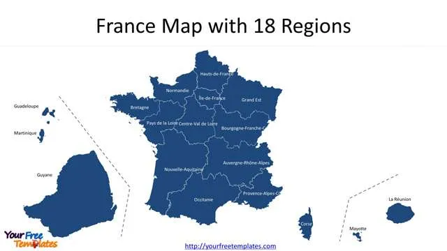
The France map with regions PowerPoint deck includes 20 maps, with two slide of France map with 13 regions or 18 regions; the remaining slides are for the 18 regions, 13 in Metropolitan and 5 in overseas.
Slide 1~2, France map with 13 regions and 18 regions
France is composing of eighteen administrative regions, of which thirteen are located in European continent, while the other five are overseas regions.
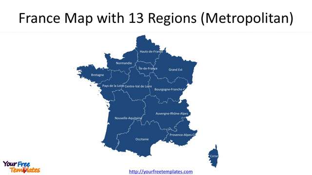
Slide 3~15, 13 regions in metropolitan France.
There are 13 regions in metropolitan France, including Île-de-France, Centre-Val de Loire, Bourgogne-Franche-Comté, Normandie, Hauts-de-France, Grand Est, Pays de la Loire, Bretagne, Nouvelle-Aquitaine, Occitanie, Auvergne-Rhône-Alpes, Provence-Alpes-Côte d’Azur, and Corse.
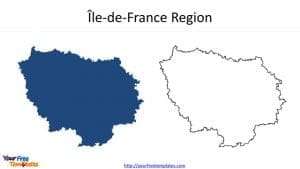
- The Île-de-France is the most populous of the eighteen regions of France, located in the north of France, neighboring Hauts-de-France, Grand Est, Bourgogne-Franche-Comté, Centre-Val-de-Loire, and Normandy.
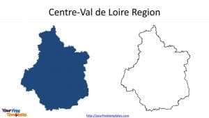
- Centre-Val de Loire is one of the interior regions of France. The neighboring regions are Normandy, Île-de-France, Bourgogne-Franche-Comté, Auvergne-Rhône-Alpes, Nouvelle-Aquitaine and Pays de la Loire.
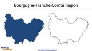
- Bourgogne-Franche-Comté is a new region in Eastern France, from a merger of Burgundy and Franche-Comté. It has neighbors including Grand Est, Île-de-France, Centre-Val de Loire, Auvergne-Rhône-Alpes and Switzerland.
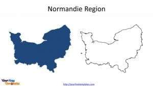
- Normandie is located in the northwestern of France, bordering Hauts-de-France and Ile-de-France, Centre-Val de Loire, Pays de la Loire, and Brittany.
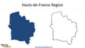
- Hauts-de-France is a new region of France, from a merger of Nord-Pas-de-Calais and Picardy, located in the northernmost region of France with neighbors of Belgium, the North Sea, the English Channel, and other French regions of Grand Est, Île-de-France, and Normandy.
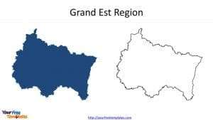
- Grand Est is also a new region located in northeast and merged from former administrative regions, Alsace, Champagne-Ardenne and Lorraine. It has borders with four countries, including Belgium, Luxembourg, Germany, and Switzerland, together with Bourgogne-Franche-Comté, Île-de-France, and Hauts-de-France as neighbors.
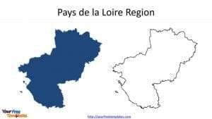
- Pays de la Loire is located in western of France with neighboring Brittany, Normandy, Centre-Val de Loire, Nouvelle-Aquitaine, and the North Atlantic Ocean.
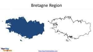
- Bretagne is the westernmost region of Metropolitan France with English Channel, Normandy and Pays de la Loire as neighbors.
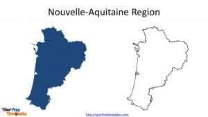
- Nouvelle-Aquitaine is the largest administrative region in France; It has been created by the merger of three former regions: Aquitaine, Limousin and Poitou-Charentes. Its neighbors are including three communities in Spain, other French regions covering Pays de la Loire, Centre-Val de Loire, Auvergne-Rhône-Alpes, and Occitania.
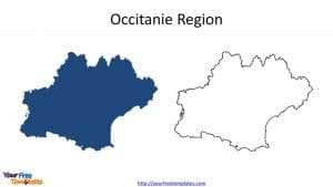
- Occitanie is a new region created through former regions of Languedoc-Roussillon and Midi-Pyrénées. It is located in the southernmost administrative region of metropolitan France with Provence-Alpes-Côte d’Azur, Auvergne-Rhône-Alpes and Nouvelle-Aquitaine and two foreign countries of Andorra and Spain as neighbors.
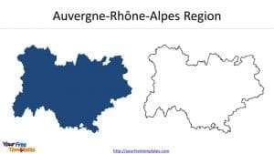
- Auvergne-Rhône-Alpes is located in southeast-central France; it has been created by the merger of former regions of Auvergne and Rhône-Alpes. Its neighbors are including Bourgogne-Franche-Comté, Centre-Val de Loire, Nouvelle-Aquitaine, Occitanie, and Provence-Alpes-Côte d’Azur, together with Italy and Switzerland.
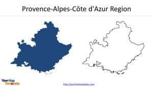
- Provence-Alpes-Côte d’Azur is located in southeastern on the mainland. Its neighbors are including Italy, Monaco, and the French regions of Auvergne-Rhone-Alpes and Occitanie.
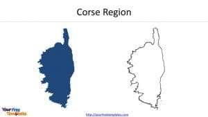
- Corse is an island in the Mediterranean Sea and one of the 18 regions of France.
Slide 16~20, five overseas regions.
The 5 overseas regions are Guadeloupe, Martinique, Mayotte, La Réunion, and Guyane.
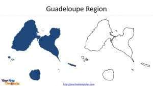
- Guadeloupe is an archipelago and overseas department and region of France in the Caribbean.
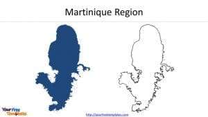
- Martinique is an island and an overseas region of France. Martinique is located in the Lesser Antilles of the West Indies in the eastern Caribbean Sea.
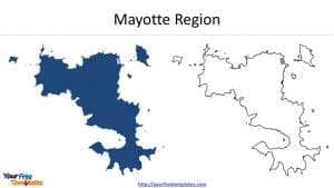
- Mayotte is located in the northern part of the Mozambique Channel in the Indian Ocean.
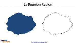
- La Réunion is an island in the Indian Ocean, with Madagascar and Mauritius as neighbors.
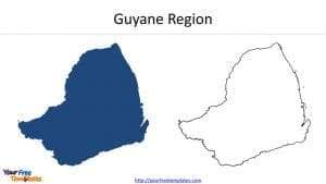
- Guyane is located on the northern Atlantic coast of South America in the Guianas. It borders Brazil and Suriname.
For other interesting maps, pls visit our ofomaps.com
Size:2030K
Type: PPTX
[sociallocker]Aspect Ratio: Standard 4:3
Click the blue button to download it.
Download the 4:3 Template
Aspect Ratio: Widescreen 16:9
Click the green button to download it.
Download the 16:9 Template[/sociallocker]


