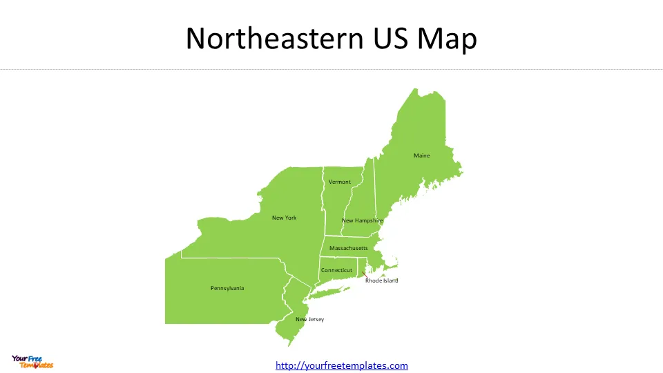
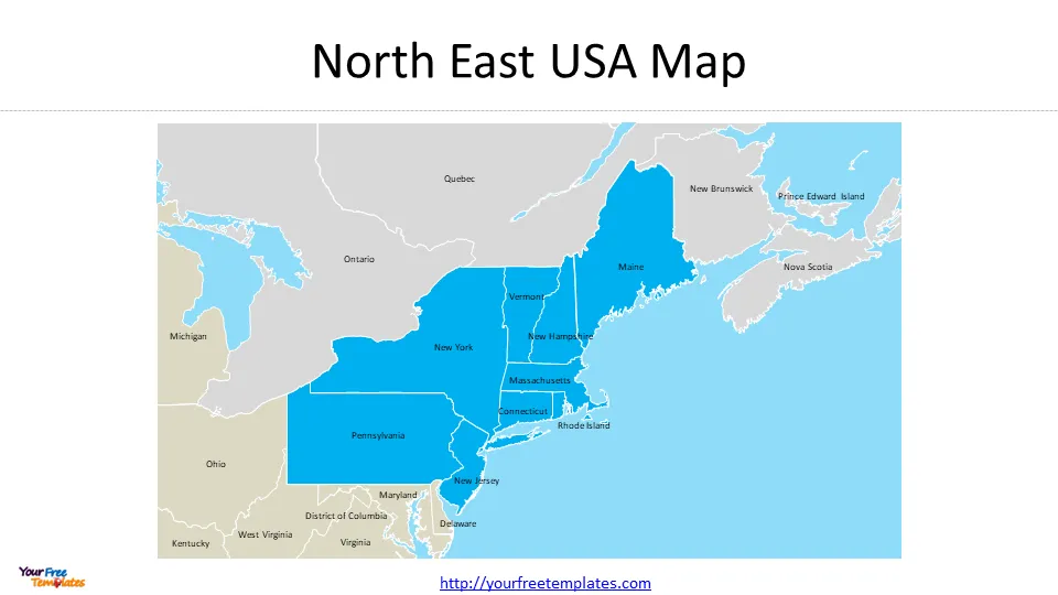
The map of northeastern US template in PowerPoint format includes 7 slides. There are 9 US states in the Northeast region based on US census 2020 definition. They are Maine, Connecticut, Massachusetts, New Hampshire, New Jersey, New York, Pennsylvania, Vermont, and Rhode Island. Firstly, we have the North East USA map outline or framed. Secondly, we present the Northeastern map USA with 9 states. Thirdly different definition of Northeastern region or in Albers Equal Area Conic Projection. As the same diagram PowerPoint template series, you can also find our Carbon footprint, Carbon neutral, Data Mining, Machine Learning, cloud computing, Artificial Intelligence and BlockChain or US Cities including Denver, Fort Worth, Indianapolis, Columbus, and Baltimore PowerPoint templates.
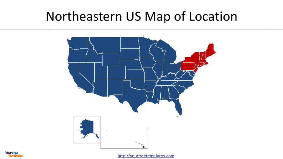
Slide 1, Map of northeastern US of Location
It presents the state map of USA with northeastern region highlighted. Northeastern US Maps in this slide and the next four ones are in Mercator Projection, which is used by Google maps.
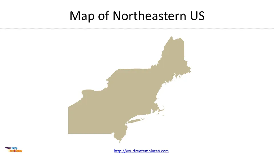
Slide 2, Map of Northeastern US
The Northeast region boasts a well-developed transportation infrastructure, making it easily accessible for residents and visitors alike. The region is served by major airports, including John F. Kennedy International Airport in New York City and Logan International Airport in Boston. Additionally, the Northeast is connected by an extensive network of highways and railways, providing convenient travel options within the region and beyond.
Slide 3, Northeastern US Map
The Northeast region boasts a rich cultural heritage and is home to world-renowned educational institutions. From Harvard University and Massachusetts Institute of Technology (MIT) in Massachusetts to Yale University in Connecticut, the region attracts students from around the globe. The Northeast also offers a vibrant arts and entertainment scene, with Broadway in New York City being a major attraction for theater enthusiasts.
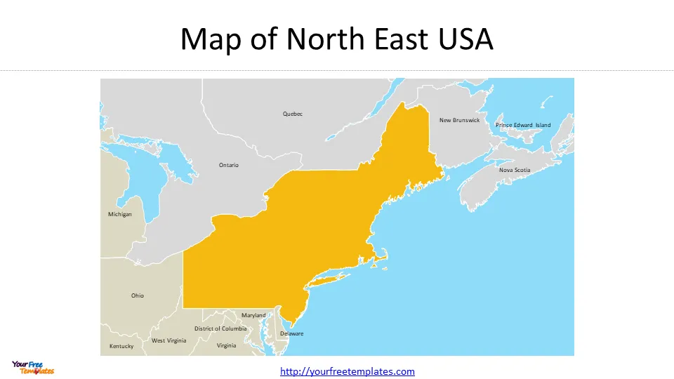
Slide 4, Framed Outline Map of North East USA
Northeast region of USA is bordered by Canada to the north, the Atlantic Ocean to the east, the Southern United States to the south, and the Midwestern United States to the west. With its thriving urban centers and economic prowess, the Northeast region plays a significant role in the country’s overall GDP.
Slide 5, Framed map of northeastern US with states
The Northeast region experiences primarily cold and snowy winters, along with consistent rainfall throughout the year. The weather patterns in this area are greatly influenced by its proximity to the Atlantic Ocean, which leads to abundant precipitation. This precipitation plays a crucial role in supporting the region’s vegetation and fostering the growth of crops like apples and pumpkins. During the winter months, the interaction between air masses and the polar jet stream creates a turbulent and frigid atmosphere, making the area susceptible to extreme weather conditions.
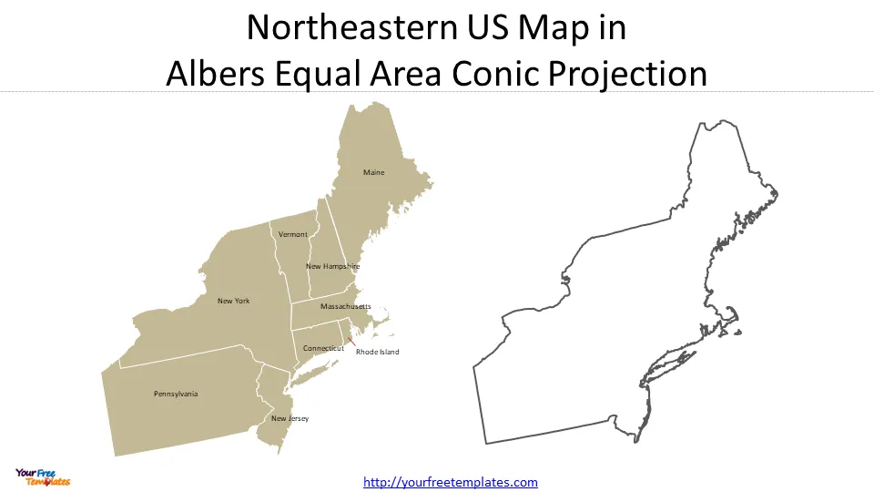
Slide 6, Northeastern US Map in Albers Equal Area Conic Projection
The Albers Equal Area Conic Projection is a conic, equal area map projection that accurately represents areas but distorts shapes. It is adopted by the National Atlas of the United States.
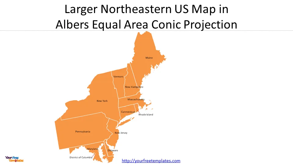
Slide 7, Larger map of northeastern US in Albers Equal Area Conic Projection
Maryland, Delaware, and Washington, D.C. have been included in another definition, which makes it larger than the traditional coverage.
The Northeast region of the United States is a dynamic and diverse area that combines economic prosperity, cultural heritage, and natural beauty. With its bustling cities, rich history, and thriving industries, the region offers a unique blend of opportunities for residents and visitors.
For other interesting maps, pls visit our ofomaps.com
Size:805K
Type: PPTX
Aspect Ratio: Standard 4:3
Click the blue button to download the maps.
Download the 4:3 Template
Aspect Ratio: Widescreen 16:9
Click the green button to download the maps.
Download the 16:9 Template


