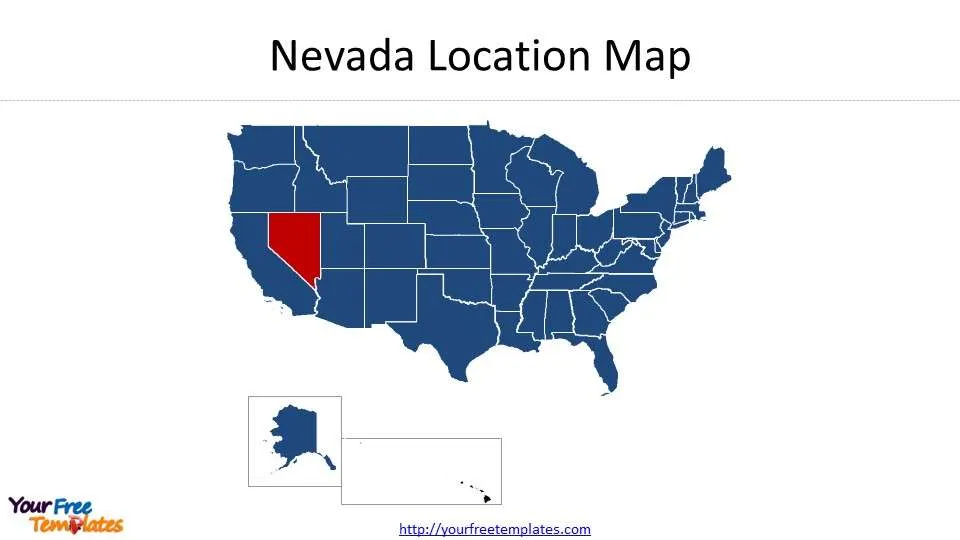
The Nevada county map Template in PowerPoint format includes 9 slides. You can enjoy the Nevada on the United States Map, Framed Nevada map with surrounding states, Nevada shape, Blank or labeled Nevada County Map, Nevada Bureau of Land Management Districts, Nevada Congressional Districts, Nevada Senate Districts, and Nevada State House Districts. You can also enjoy our blank or labeled Florida state map, Texas state map, California state map, Georgia state map, Chicago map, Los Angeles map, New York map, Washington DC map and US map with states.
All the GIS data has been extracted from the Landscape Ecology of Nevada Geospatial and Redistricting Data Hub. Different layers of data have been combined for analysis or demonstration only and should not be regarded as the actual boundaries.
Slide 1, Nevada location map
Our State of Nevada map is for the southeast state of the United States. It is one of 50 states for the western country plus a federal district, Washington DC. The states of Alaska and Hawaii have been placed under the mainland for the purpose of demonstration only. Las Vegas is the 25th-most populous city in the United States, the most populous city in the state of Nevada, and the county seat of Clark County.
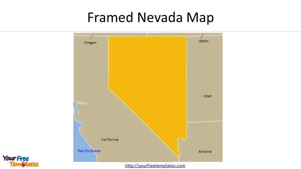
Slide 2, Framed Nevada Map
The neighboring states are Arizona to the southeast, Utah to the east, California to the west, and to the north by Idaho and Oregon.
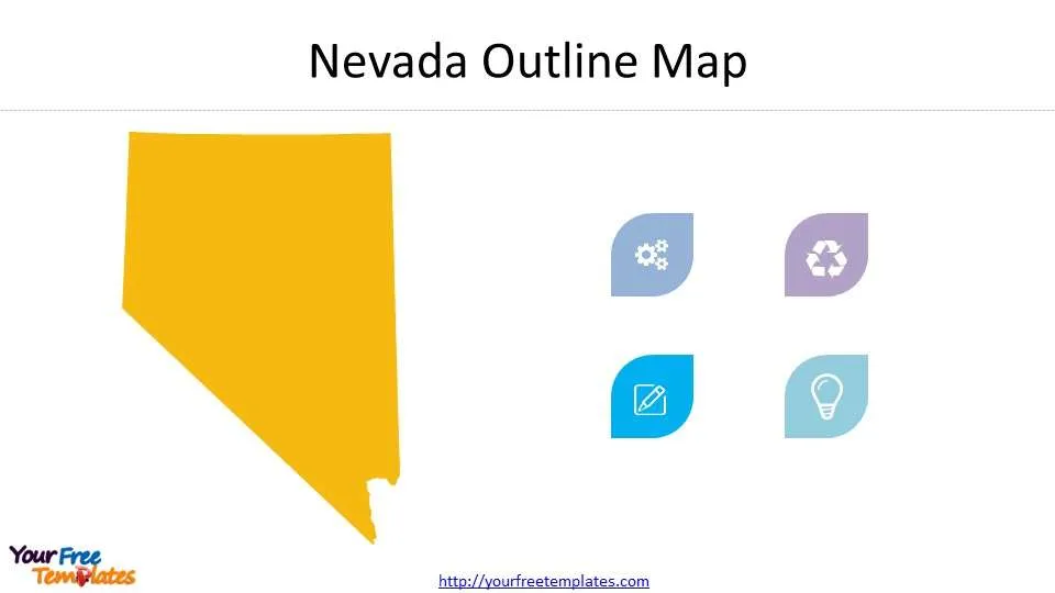
Slide 3, Nevada Shape
The blank Nevada shape has been decorated with small icons; you can add your icons or text to present your ideas, such as cloud computing, Olympic games, artificial intelligence, and something like that.
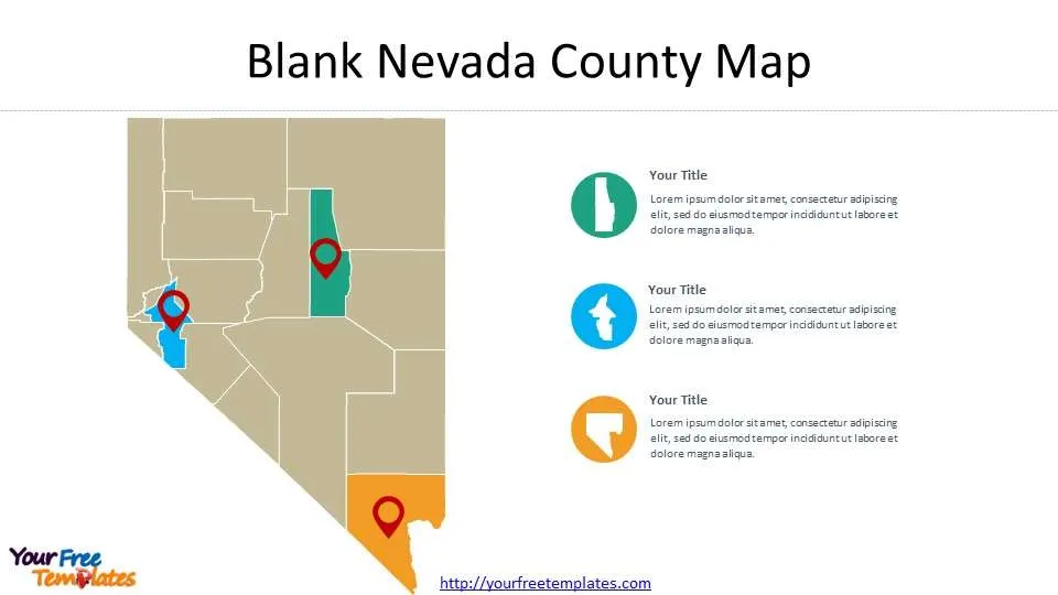
Slide 4, Blank Nevada county Map
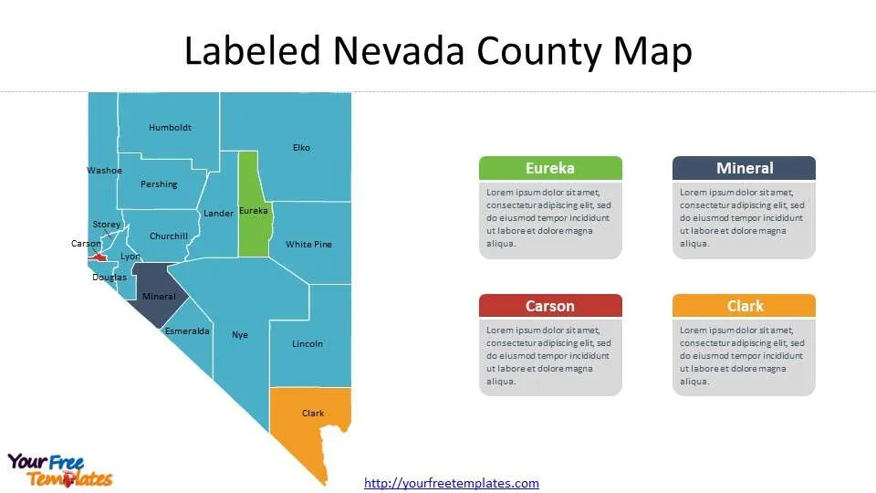
There are 16 counties and 1 Independent City in this Nevada County Map. As showed in this map, you can highlight any counties you like, in the right the most populated target counties will be filled in white to show information on them.
Slide 5, Labeled Nevada County Map with 16 counties and 1 Independent City
We have grouped the text and shapes respectively, so you can easily deal with it to fit your purpose. You can check the 16 counties and 1 Independent City in Wikipedia, List of counties in Nevada.
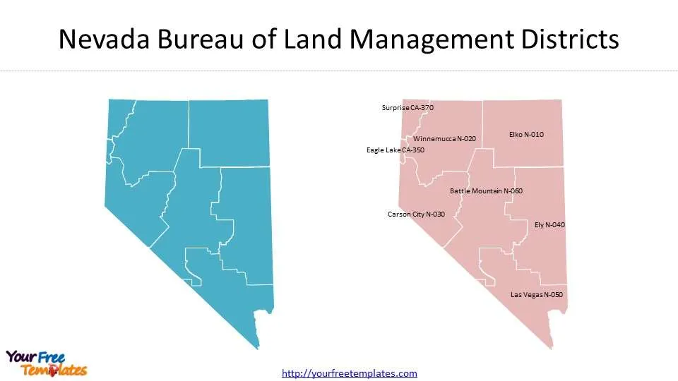
Slide 6, Nevada Bureau of Land Management Districts
There are 8 Nevada Bureau of Land Management Districts based on Nevada State Bureau Of Land Management. The Bureau of Land Management’s mission is to sustain the health, diversity, and productivity of public lands for the use and enjoyment of present and future generations.
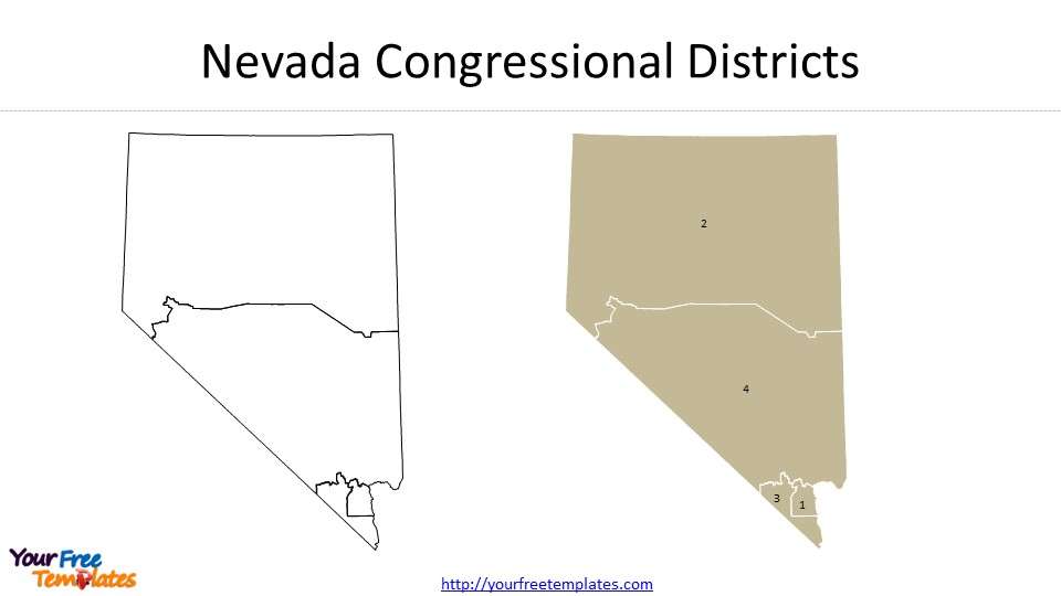
Slide 7, Nevada Congressional Districts
It is only four Congressional Districts in Nevada State in 2022 from Redistricting Data Hub.
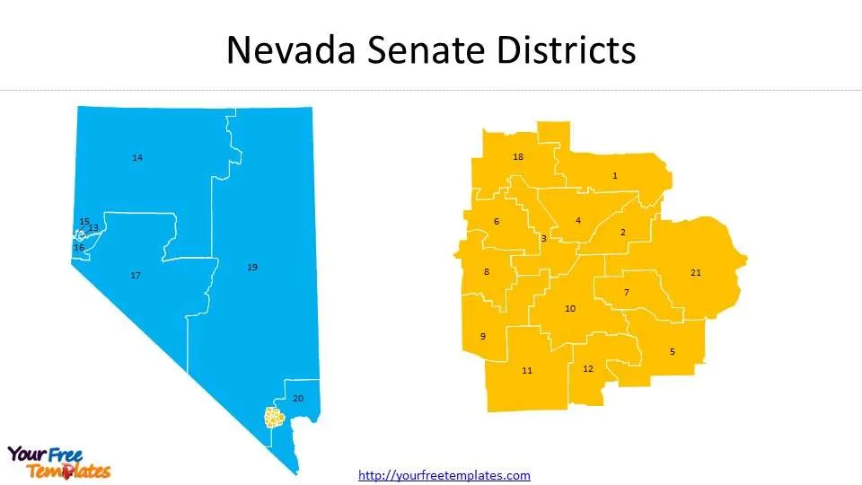
Slide 8, 21 Nevada Senate Districts
The latest Senate consists of 21 members from 19 districts, two of which are multimember according to State Senate. The highlighted Les Vegas city has been labeled separately to make the districts to be clearly identified.
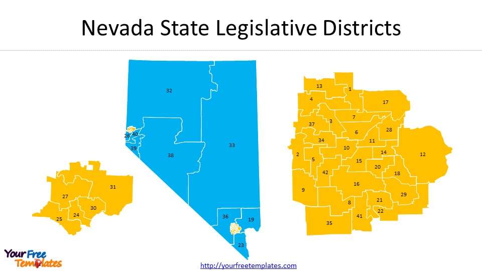
Slide 9, 42 Nevada State House Districts
There are 42 districts for the State House from Redistricting Data Hub. The two small ones have been highlighted separately to make them more clearer.
For other interesting maps, pls visit our ofomaps.com
Size:720K
Type: PPTX
[sociallocker]Aspect Ratio: Standard 4:3
Click the blue button to download it.
Download the 4:3 Template
Aspect Ratio: Widescreen 16:9
Click the green button to download it.
Download the 16:9 Template[/sociallocker]


