Free Kenya Map with 47 Counties
The Kenya Map Template includes three slides. Kenya map with 47 counties, labeling major counties, Nairobi (County), Kakamega, Kiambu, and Nakuru. Kenya map labeled...
Free South Sudan Editable Map
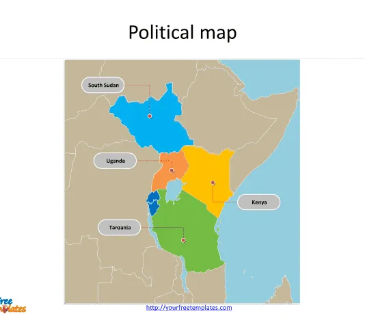
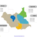
South Sudan Country political map with 10 states, labeling major states, Jonglei, Central Equatoria, Warrap, and Upper Nile. South Sudan Outline map labeled with...
Free Tanzania Editable Map
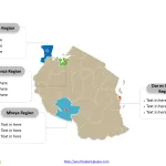
Tanzania Country political map with 30 regions, labeling major Regions, Dar es Salaam Region, Mwanza Region, Mbeya Region, and Kagera Region. Tanzania Outline map...
Free Djibouti Editable Map
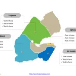
Djibouti Political map with six administrative regions, labeling with major regions, Ali Sabieh Region, Djibouti Region, Dikhil Region,and Tadjourah Region. Djibouti outline map labeling...
Ethiopia Map with 12 States and two Chartered Cities
The Ethiopia map Template includes two slides. Ethiopia map with nine regional states, highlighting Amhara, Oromia, Somali, and (Southern Nations, Nationalities, and Peoples' Region)...
Zambia Map with 10 Provinces
The Map of Zambia Template includes two slides. Zambia map with 10 provinces, highlighting Lusaka, Copperbelt, Eastern, and Southern provinces. Zambia map of outline...


