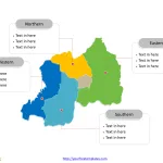
Rwanda Map with 5 Provinces
The Rwanda Map Template includes two slides. Rwanda map with five provinces, labeling major provinces, Eastern, Southern, Western, and Northern. Rwanda map labeled with...
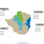
Zimbabwe Map with 8 Provinces
The Zimbabwe Map Template includes two slides. Zimbabwe map with eight provinces and two cities, labeling major provinces, Harare Province, Manicaland, Midlands, Mashonal and...
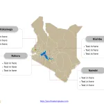
Free Kenya Map with 47 Counties
The Kenya Map Template includes three slides. Kenya map with 47 counties, labeling major counties, Nairobi (County), Kakamega, Kiambu, and Nakuru. Kenya map labeled...
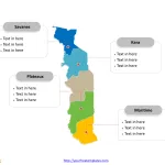
Togo Map with 5 Regions
The Togo Map Template includes two slides. Togo map with five regions, labeling major regions, Maritime, Plateaux, Savanes, and Kara. Togo map labeled with...
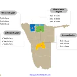
Namibia Map with 14 Regions
The Namibia Map Template includes two slides. Namibia map with 14 regions, labeling major regions, Khomas Region, Ohangwena Region, Omusati Region, and Oshikoto Region....
South Sudan Map with 10 States and 3 Areas
The South Sudan Map Template includes three slides. South Sudan map with 10 States and 3 Areas, labeling major states, Jonglei, Central Equatoria, Warrap,...
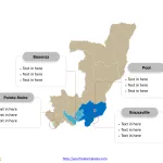
Republic of the Congo Map with 12 Departments
The Republic of the Congo Map Template includes two slides. Republic of the Congo map with twelve departments, labeling major departments, Brazzaville, Pointe-Noire, Bouenza,...
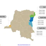
Democratic Republic of Congo Map with 26 Provinces
Democratic Republic of Congo Map Template includes three slides. Congo map with 26 provinces, labeling major provinces, Kinshasa, Nord-Kivu, Sud-Kivu, and Ituri. Congo map...
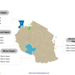
Tanzania Map with 30 Regions
The Tanzania Map Template includes two slides. Tanzania map with 30 regions, labeling major Regions, Dar es Salaam Region, Mwanza Region, Mbeya Region, and...
Free MENA Region Map with 20 Countries
The MENA Region Map Template in PowerPoint format includes four slides, that is, the Map of MENA outline and MENA map with countries. Firstly,...


