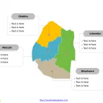
Free Swaziland Map Template
The Swaziland Map Template in PowerPoint format includes two slides, that is, the Swaziland outline map and Swaziland political map. Firstly, our Swaziland outline...
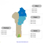
Free Benin Map Template
The Benin Map Template in PowerPoint format includes two slides, that is, the Benin outline map and Benin political map. Firstly, our Benin outline...
Free Sierra Leone Editable Map
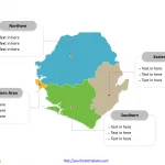
The Sierra Leone Editable Map Template in PowerPoint format includes two slides, that is, the Sierra Leone outline map and Sierra Leone political map....
Free Tunisia Editable Map
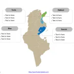
Tunisia Country political map with 24 governorates, labeling major governorates, Tunis, Sfax, Nabeul, and Sousse. Tunisia Outline map labeled with capital and major cities,...
Free Horn of Africa Editable Map
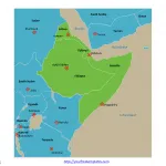
Horn of Africa map with 4 countries and their capitals, which are Djibouti, Eritrea, Ethiopia, and Somalia, and 10 neighboring countries.
The Horn of Africa...
Free Cape of Good Hope Editable Map
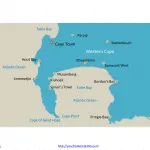
Cape of Good Hope map showing the location of Cape of Good Hope, the Cape Peninsula and the Cape Point, labeled with nine cities,...
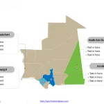
Free Mauritania Editable Map
Mauritania map with ten provinces and one capital city, labeling major provinces, Hodh Ech Chargui, Nouakchott, Gorgol, and Assaba. Mauritania Outline map labeled with...
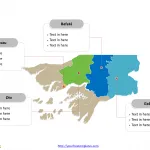
Free Guinea-Bissau Editable Map
Guinea-Bissau map with 8 regions and 1 autonomous sector, labeling major regions, Bissau, Oio, Gabú, and Bafatá. Guinea-Bissau Outline map labeled with capital and...
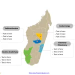
Free Madagascar Editable Map
Madagascar Country political map with 22 regions, labeling major regions, Analamanga, Vakinankaratra, Vatovavy-Fitovinany, and Atsimo-Andrefana. Madagascar Outline map labeled with capital and major cities,...
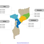
Free Mozambique Editable Map
Mozambique Country political map with ten provinces and one capital city, labeling major provinces, Nampula, Zambezia, Tete, and Sofala. Mozambique Outline map labeled with...


