Free EMEA Map with 100+ Countries
The EMEA Map Template includes three slides. EMEA Region Map with all African countries, European countries and Middle East countries. First is Map of...
Editable Silk Road Map
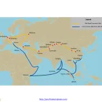
Silk road map labeled with the line of Silk Road Economic Belt and 21st-century Maritime Silk Road, and major cities.
The Silk Road Economic Belt...
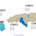
Free Algeria Editable Map
Algeria Political map with 48 provinces, labeling with major provinces, Algiers, Oran, Sétif, and Djelfa. Algeria outline map labeling with national capital and major...
Free Sudan Editable Map
Sudan map with18 states, labeling with major states, Khartoum, South Darfur, Gezira (Al Jazirah), North Kordofan. Sudan outline map labeling with national capital and...
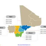
Free Mali Editable Map
Mali Political map with eight regions (régions) and one district, labeling with major regions, Sikasso, Koulikoro, Ségou, and Mopti. Mali outline map labeling with...
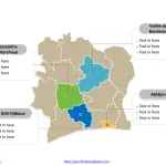
Free Ivory Coast Editable Map
Ivory Coast map with 14 districts, labeling with major districts, Abidjan, Sassandra-Marahoué, Vallée du Bandama, and Gôh-Djiboua. Ivory Coast outline map labeling with national...
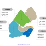
Free Djibouti Editable Map
Djibouti Political map with six administrative regions, labeling with major regions, Ali Sabieh Region, Djibouti Region, Dikhil Region,and Tadjourah Region. Djibouti outline map labeling...
Free Central Africa Editable Map
Central map with 16 administrative prefectures, highlighting Ouham, Ouham-Pendé, Ombella-M'Poko, and Mambéré-Kadéï prefectures. Central Africa outline map labeled with Bangui, Mbaiki, Berbérati, Kaga Bandoro,...
Free Nigeria Map with 36 States
The Nigeria Map Template includes two slides. First Nigeria map with thirty-six states, highlighting Kaduna, Kano, Katsina, and Lagos states. Next Nigeria map labeled...
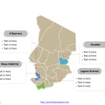
Chad Map with 23 Regions
The Map of Chad Template includes two slides. Chad map with 23 regions, highlighting N'Djamena (capital), Mayo-Kebbi Est, Ouaddaï, Logone Occidental regions. Chad map...


