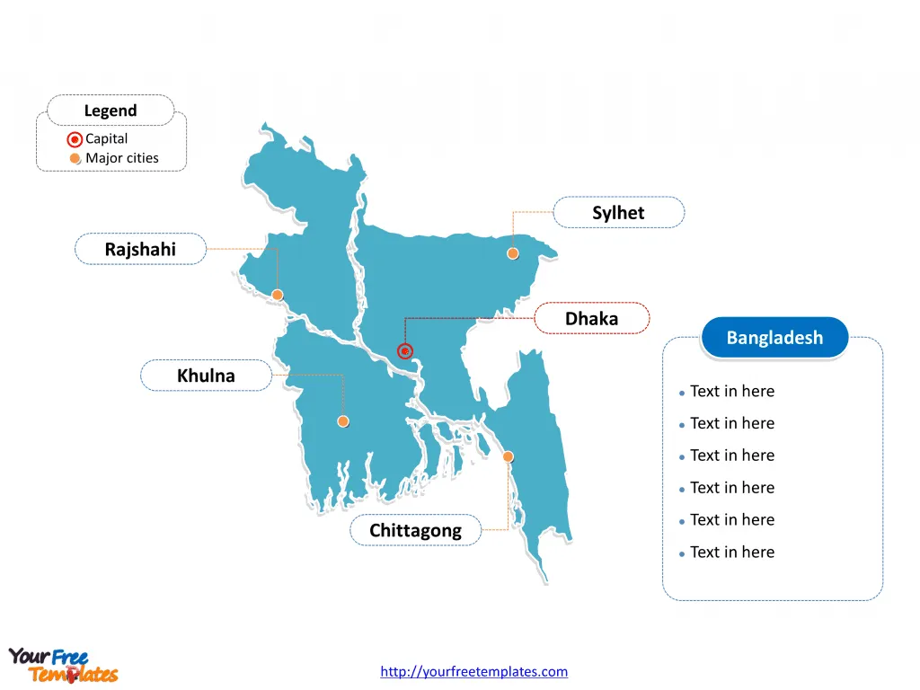
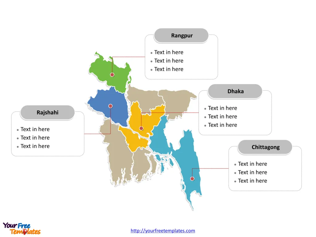
The Bangladesh Map Template includes two slides. Bangladesh map with eight administrative divisions, highlighting Dhaka, Chittagong, Rajshahi, and Rangpur. Bangladesh outline map labeled with Dhaka, Chittagong, Khulna, Sylhet, and Rajshahi cities.
Bangladesh, a country known for its rich cultural heritage, vibrant traditions, and the lush beauty of its landscapes, is divided into several major cities and divisions, each with its unique significance. Among these, Dhaka, Chittagong, Khulna, Sylhet, and Rajshahi stand out as key urban centers, while the divisions of Dhaka, Chittagong, Rajshahi, and Rangpur play crucial roles in the country’s administrative framework and cultural identity.
Slide 1, Bangladesh map labeled with capital and major cities.
Bangladesh is a sovereign country in South Asia. It is known that the neighboring countries are India, and Myanmar (Burma). What is more, Nepal, Bhutan and China are located near Bangladesh but do not share a border with it. Furthermore its major trading partners are the European Union, the United States, China, India, Japan, Malaysia and Singapore. With a population of 170 million, it is the world’s eighth-most populous country in Asia. Its capital and largest city is Dhaka, other major cities including Chittagong, Khulna, Sylhet, and Rajshahi.
Major Cities on Bangladesh map
Dhaka
Dhaka, the capital and largest city, is the economic, political, and cultural heart of Bangladesh. With a population exceeding 21 million in its metropolitan area, it’s one of the world’s most densely populated cities. Dhaka is known for its historical sites, bustling markets, and vibrant street life. It serves as a central hub for trade, culture, and education in the country.
Chittagong
Chittagong, the principal maritime gateway and second-largest city, is crucial for trade and industry. Its port is the lifeline for the country’s economy, handling most of its exports and imports. The city is also known for its natural harbor, diverse ethnic communities, and the nearby hill tracts’ scenic beauty.

Khulna
Located in the southwest, Khulna is an important economic and industrial hub, particularly known for its jute mills and shrimp processing. The city is a gateway to the Sundarbans, the largest mangrove forest in the world, which is a UNESCO World Heritage Site.
Sylhet
Sylhet, in the northeastern part of Bangladesh, is famed for its tea gardens, lush greenery, and the Sylheti diaspora’s strong connections overseas. The city is an essential center for the country’s tea production and has a growing tourism industry, thanks to its picturesque landscapes and spiritual sites.
Rajshahi
Rajshahi, known as the “Silk City” and “City of Education,” is notable for its silk industry, mango production, and numerous educational institutions. The city’s clean air, historical significance, and cultural sites make it an important regional hub in the northwest.
Slide 2, Bangladesh map labeled with major administration districts.
Bangladesh is a country eight administrative divisions, Barisal, Chittagong, Dhaka, Khulna, Mymensingh, Rajshahi, Rangpur, and Sylhet. Every individual political subdivision is an editable shape.
Major Divisions on Bangladesh map
Dhaka Division
Dhaka Division, encompassing the capital, is the most populous and economically significant division. It’s a melting pot of cultures and serves as the administrative and educational center of the country.
Chittagong Division
Chittagong Division, home to the namesake city, is vital for its port, industries, and natural beauty, including beaches and hill tracts. It plays a pivotal role in Bangladesh’s economy and tourism.

Rajshahi Division
Rajshahi Division is known for its agricultural production, particularly mangoes and silk, contributing significantly to the local economy. It’s also home to several educational institutions, making it a center for learning and culture.
Rangpur Division
Rangpur Division, established to ensure better administrative services, is known for its agricultural advancements and historical sites. It’s a region marked by its cultural diversity and heritage.
In summary, Bangladesh’s major cities and divisions each contribute distinctively to the nation’s character. From the bustling streets of Dhaka to the serene tea gardens of Sylhet, and the efficient port of Chittagong to the educational prominence of Rajshahi, these areas encapsulate the dynamic spirit and rich heritage of Bangladesh, making it a compelling mosaic of South Asian life.
Looking for Premium maps, please visit our affiliate site: https://ofomaps.com/
Size: 133K
Type: PPTX
Aspect Ratio: Standard 4:3
Click the blue button to download it.
Download the 4:3 Template
Aspect Ratio: Widescreen 16:9
Click the green button to download it.
Download the 16:9 Template


