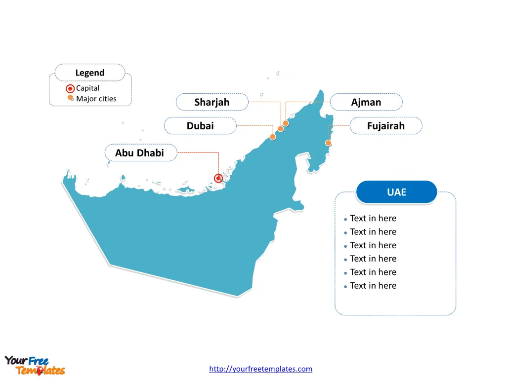
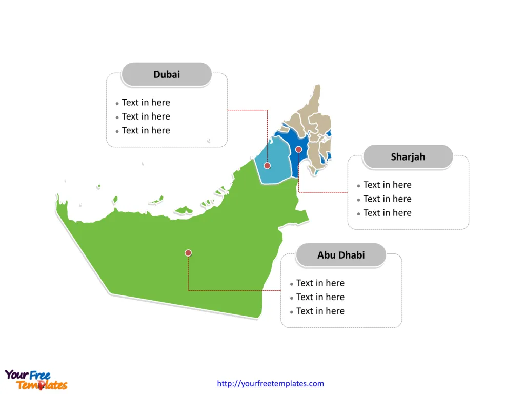
The United Arab Emirates Map Template includes two slides. United Arab Emirates map with seven emirates, labeling with major emirates, Dubai, Abu Dhabi, and Sharjah. United Arab Emirates map labeling with national capital and major cities, Dubai, Abu Dhabi, Sharjah, Ajman, and Fujairah.
The United Arab Emirates (UAE) is situated in the southeast of the Arabian Peninsula, in Southwest Asia, bordering the Gulf of Oman and the Persian Gulf. Its geographical coordinates are approximately 24°N latitude and 54°E longitude. The country shares land borders with Saudi Arabia to the west and south, and Oman to the southeast. Additionally, it has maritime borders with Qatar to the northwest and Iran across the Persian Gulf. The UAE’s strategic location on the Persian Gulf has made it a significant player in international trade and politics, serving as a bridge between the East and West.
Slide 1, United Arab Emirates map labeled with capital and major cities.
The United Arab Emirates (UAE), a federation of seven emirates, is a country known for its ultramodern architecture, vibrant cultural scene, and significant economic stature on the global stage. Among its emirates, Dubai, Abu Dhabi, and Sharjah stand out for their unique identities and contributions to the country’s prosperity. Additionally, the cities of Ajman and Fujairah, though smaller, add to the UAE’s diverse character. This overview delves into the major cities and emirates, highlighting their significance.
Major Cities on UAE map
Dubai Dubai, the most populous city in the UAE, is synonymous with luxury, innovation, and architectural marvels. The city is home to the iconic Burj Khalifa, the world’s tallest building, and the Palm Jumeirah, an awe-inspiring man-made island. Dubai’s economy thrives on tourism, aviation, real estate, and financial services. The city’s shopping festivals, vibrant nightlife, and luxury lifestyle attract millions of visitors annually, making it a global hub for tourism and business.
Abu Dhabi Abu Dhabi, the capital city of the UAE, is the country’s political, cultural, and economic center. It houses the federal government offices and the President of the UAE. The city is known for its commitment to art and culture, as evidenced by the Louvre Abu Dhabi and the forthcoming Guggenheim Abu Dhabi. The oil and gas industry is the backbone of its economy, though there are significant investments in healthcare, education, and renewable energy.

Sharjah Sharjah, recognized as the cultural capital of the Arab world by UNESCO, is renowned for preserving its heritage while embracing modernity. The city hosts numerous cultural events, museums, and educational institutions, making it a center for art and education in the region. Sharjah’s economy is diversified, with strong sectors in manufacturing, services, and real estate.
Ajman Ajman, the smallest emirate by area, offers a blend of urban development and cultural sites. Its economy is primarily driven by manufacturing, construction, and retail. Ajman’s coastline features beautiful beaches, attracting tourists seeking a more relaxed atmosphere compared to Dubai and Abu Dhabi.
Fujairah Fujairah is unique among the UAE emirates for its scenic beauty, with the Hajar Mountains and pristine beaches. The city’s economy benefits from its strategic location on the Gulf of Oman, facilitating maritime activities. Tourism is growing, with visitors drawn to its natural landscapes and historical sites.
Slide 2, United Arab Emirates map labeled with major administration districts.
United Arab Emirates is a country divided into seven emirates, namely, Abu Dhabi, Ajman, Dubai, Fujairah, Ras al-Khaimah, Sharjah, and Umm al-Quwain. Every individual political subdivision is an editable shape.
Major Emirates on UAE map
Dubai As an emirate, Dubai’s remarkable growth from a small trading port to a global metropolis is a testament to its visionary leadership. Its diversified economy, world-class infrastructure, and status as a cosmopolitan city make it a model for development.
Abu Dhabi Abu Dhabi is the largest emirate by area and holds the majority of the UAE’s oil reserves, making it wealthy and influential. It is investing heavily in sustainable development and cultural projects, aiming to diversify its economy beyond oil.
Sharjah The emirate of Sharjah is admired for its commitment to culture, education, and sustainable development. It offers a more conservative atmosphere, with strict regulations on alcohol and dress codes, reflecting its adherence to traditional values.

In conclusion, the United Arab Emirates, through its major cities and emirates, showcases a blend of tradition and modernity, economic prosperity, and cultural richness. Each city and emirate contributes uniquely to the federation’s identity, making the UAE a fascinating country with a bright future on the world stage.
Please check our premium maps in ofomaps.com.
Size: 119K
Type: PPTX
Aspect Ratio: Standard 4:3
Click the blue button to download it.
Download the 4:3 Template
Aspect Ratio: Widescreen 16:9
Click the green button to download it.
Download the 16:9 Template


