The surge of automobiles in the mid-20th century USA led to the construction of a large number of roads and highways. Long-distance traveling across the United States‘ major cities became possible thanks to the interstate highway system. With the help of US interstate highway map, the article will explore the highway system in tailed.
Today, there are over 40,000 miles of highways spanning thousands of United States cities, from the West coast to the East coast.
In this article, we’ll go over the main geographical landmarks of the United States and explore the intricate highway system that links it all together. The following map shows all 70 US highways as well as the states, state capitals, and major cities.
Overview Of US Geography
The United States Of America is located in North America. Its capital city is Washington D.C..
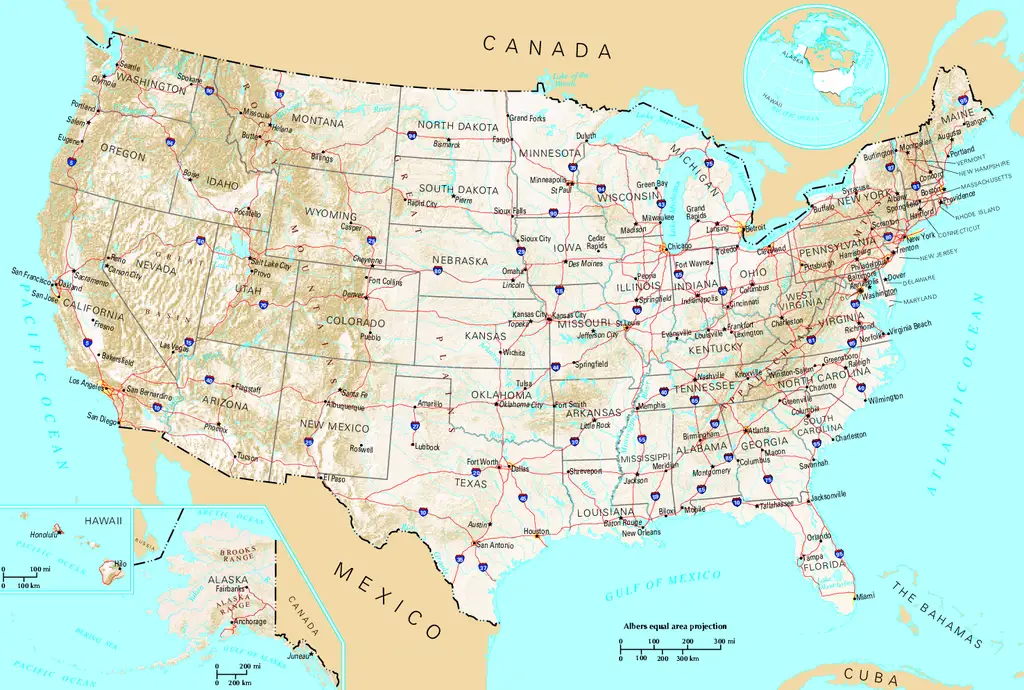
https://commons.wikimedia.org/wiki/File:US_map_-_geographic.png
It is bounded by the Atlantic Ocean on the East coast and the Pacific Ocean on the West coast. Its bordering countries are Canada to the north and Mexico to the south.
With an area of 9,833,516 km², the landscape of the US is very rich, featuring a wide variety of natural landmarks that cover a large part of the country. These include mountain ranges, rivers, lakes, forests, national parks, and more.
Major Mountains
All of the major US mountain ranges, with the exception of the Appalachian mountains, are located in the western part of the country. Below are the main mountain ranges of the US.
- Alaska and Brooks mountain ranges in Alaska.
- The Rocky Mountains cover several states, from Montana all the way down to New Mexico.
- Cascade Ranges, Pacific Coast Ranges, and the Sierra Nevada span the Pacific states of the US.
- The Appalachian Mountains are located on the East coast and cover several New England states.
Major Rivers
Several major rivers, spanning thousands of kilometers, are found in the USA. These include:
- Mississippi River
- Rio Grande
- Colorado River
- Missouri
- Columbia River
- Arkansas River
- Snake River
- Red River
- Yukon
Major Lakes
There are dozens of freshwater lakes spread across the US, and five of them are considered ‘Great Lakes.’ These cover a very large area and are all located in the Northeast by the Canadian borders.
- Lake Superior
- Lake Michigan
- Lake Huron
- Lake Erie
- Lake Ontario
History Of The Interstate Highway System-Interstate Highway Map
The Interstate Highway System was, in a large part, inspired by a US captain named Dwight D. Eisenhower. In 1919, he led the very first U.S. Army convoy across the whole country. The trip from Washington D.C. to San Francisco took 62 days.
After the Second World War, then-General Eisenhower took notice of the solid and durable structure of German highways. Soon after he became President in 1953, he started working on an interstate highway plan. In 1956, he finally signed the Federal Aid Highway Act.
These efforts soon came to fruition, and the interstate highways spread across the whole country in the coming years. You can check this interstate highway system map as follow.
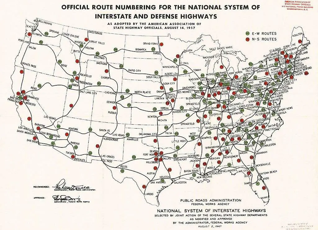
https://commons.wikimedia.org/wiki/File:Interstate_Highway_plan_August_14,_1957.jpg
Today, the Interstate Highway System counts 70 primary highways on the U.S. mainland. The network also extends to Alaska, Hawaii, and Puerto Rico. Although highways in these areas are mostly funded by the Interstate Highway program, they are not signed as such and do not necessarily adhere to the Interstate Highway standards.
Over the years, there were setbacks during the construction. Several highways were canceled, and others were protested against and left unfinished. The highway system had to be modified on numerous occasions.
With that in mind, the Interstate Highway plan was officially completed in 1992. Since then, the network has been expanded upon, and several primary highways have been constructed.
Interstate Highway System-Interstate Highways Of The USA
Illustrated by the large-size maps of USA highways, below is a list of all 70 primary Interstate Highways in the country.
Interstate Highway System I-2
Built in 2013, the I-2 is 75.3 km long. It connects Peñitas, Texas to Harlingen, Texas.
I-4
Built in 1959, the I-4 is 212.92 km long. It connects Tampa, Florida to Daytona Beach, Florida.
I-5
Built in 1956, the I-4 is 2,222.97 km long. It connects San Ysidro, California to Blaine, Washington.
I-8
Built in 1964, the I-8 is 560.45 km long. It connects San Diego, California to Casa Grande, Arizona.
I-10
Built in 1957, the I-10 is 3,959.53 km long. It connects Santa Monica, California to Jacksonville, Florida.
I-11
https://commons.wikimedia.org/wiki/File:Nevada_172_westbound,_Boulder_City_NV.jpg
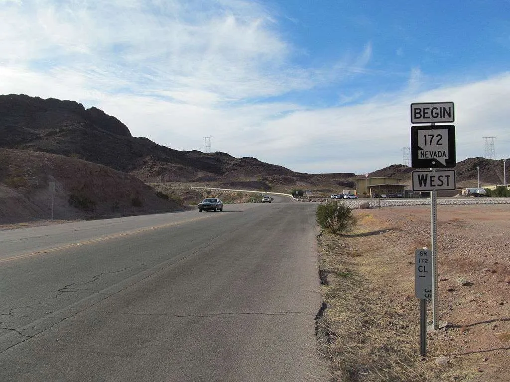
Built in 2017, the I-11 is 36.37 km long. It connects Boulder City, Nevada to Henderson, Nevada.
Interstate Highway System I-12
Built in 1967, the I-12 is 137.74 km long. It connects Baton Rouge, Louisiana to Slidell, Louisiana.
I-14
Built in 2017, the I-14 is 40.39 km long. It connects Copperas Cove, Texas to Belton, Texas.
I-15
Built in 1957, the I-15 is 2,307.03 km long. It connects San Diego, California to Sweetgrass, Montana.
I-16
Built in 1966, the I-16 is 268.45 km long. It connects Macon, Georgia to Savannah, Georgia.
I-17
Built in 1961, the I-17 is 234.58 km long. It connects Phoenix, Arizona to Flagstaff, Arizona.
I-19
Built in 1972, the I-19 is 101.95 km long. It connects Nogales, Arizona to Tucson, Arizona.
I-20
Built in 1957, the I-20 is 2,477.39 km long. It connects Scrogging Draw, Texas to Florence, South Carolina.
I-22
Built in 2012, the I-22 is 325.44 km long. It connects Byhalia, Mississippi to Birmingham, Alabama.
I-24
https://commons.wikimedia.org/wiki/File:I24.JPG
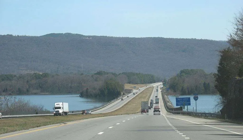
Built in 1962, the I-24 is 325.44 km long. It connects Pulley’s Mill, Illinois to Chattanooga, Tennessee.
Interstate Highway System I-25
Built in 1957, the I-25 is 1,708.59 km long. It connects Las Cruces, New Mexico to Buffalo, Wyoming.
I-26
Built in 1960, the I-26 is 490.27 km long. It connects Kingsport, Tennessee to Charleston, South Carolina.
I-27
Built in 1969, the I-27 is 199.77 km long. It connects Lubbock, Texas to Amarillo, Texas.
I-29
Built in 1958, the I-29 is 1,215.88 km long. It connects Kansas City, Missouri to Pembina, North Dakota.
I-30
Built in 1957, the I-30 is 590.24 km long. It connects Fort Worth, Texas to North Little Rock, Arkansas.
I-35
Built in 1956, the I-35 is 2,524.06 km long. It connects Laredo, Texas to Duluth, Minnesota.
I-37
Built in 1959, the I-37 is 230.14 km long. It connects Corpus Christi, Texas to San Antonio, Texas.
I-39
Built in 1984, the I-39 is 492.68 km long. It connects Normal, Illinois to Wausau, Wisconsin.
I-40
Built in 1964, the I-40 is 4,114.46 km long. It connects Barstow, California to Wilmington, North Carolina.
I-41
Built in 2015, the I-41 is 281.64 km long. It connects Russell, Illinois to Howard, Wisconsin.
I-43
Built in 1981, the I-43 is 308.27 km long. It connects Beloit, Wisconsin to Howard, Wisconsin.
I-44
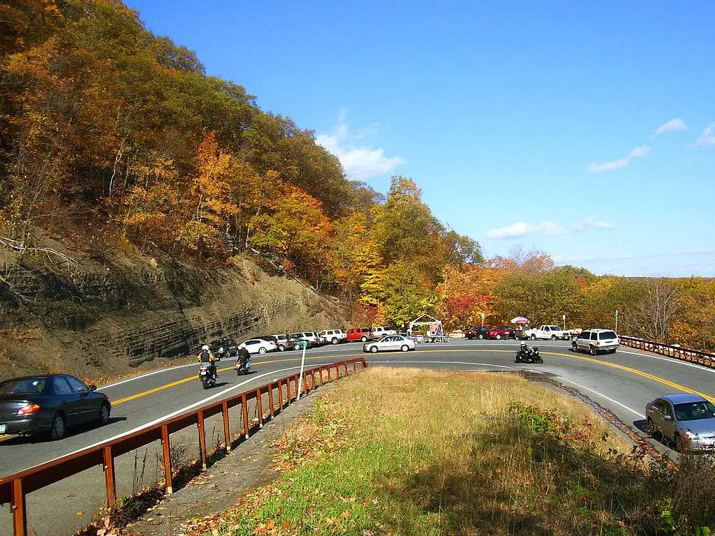
https://commons.wikimedia.org/wiki/File:US_44-NY_55_hairpin_turn_at_Mohonk.jpg
Built in 1958, the I-44 is 1,024.65 km long. It connects Wichita Falls, Texas to St. Louis, Missouri.
Interstate Highway System I-45
Built in 1971, the I-45 is 458.52 km long. It connects Galveston, Texas to Dallas, Texas.
I-49
Built in 1984, the I-49 is 849.77 km long. It connects Lafayette, Louisiana to Kansas City, Missouri.
I-55
Built in 1960, the I-55 is 1,551.81 km long. It connects LaPlace, Louisiana to Chicago, Illinois.
I-57
Built in 1960, the I-57 is 621.40 km long. It connects Miner, Missouri to Chicago, Illinois.
I-59
Built in 1960, the I-59 is 716.53 km long. It connects Slidell, Louisiana to Wildwood, Georgia.
I-64
Built in 1961, the I-64 is 1,550.64 km long. It connects Wentzville, Missouri to Chesapeake, Virginia.
I-65
Built in 1958, the I-65 is 1,427.97 km long. It connects Mobile, Alabama to Gary, Indiana.
I-66
Built in 1961, the I-66 is 122.76 km long. It connects Front Royal, Virginia to Washington, D.C.
I-68
Built in 1991, the I-68 is 182.10 km long. It connects Morgantown, West Virginia to Hancock, Maryland.
I-69
Built in 1957, the I-69 is 1,161.25 km long. It connects Victoria, Texas to Port Huron, Michigan.
I-70
Built in 1956, the I-70 is 3,495.75 km long. It connects Cove Fort, Utah to Baltimore, Michigan.
I-71
Built in 1959, the I-71 is 556.14 km long. It connects Louisville, Kentucky to Cleveland Ohio.
I-72
Built in 1970, the I-72 is 288.54 km long. It connects Hannibal, Missouri to Champaign, Illinois.
I-73
Built in 1997, the I-73 is 160.02 km long. It connects Stokesdale, North Carolina to Randleman, North Carolina.
I-74
Built in 1974, the I-74 is 791.38 km long. It connects Bettendorf, Iowa to Lumberton, North Carolina.
I-75
Built in 1958, the I-75 is 2,875.04 km long. It connects Miami Lakes, Florida to Sault Ste. Marie, Michigan.
I-76 E
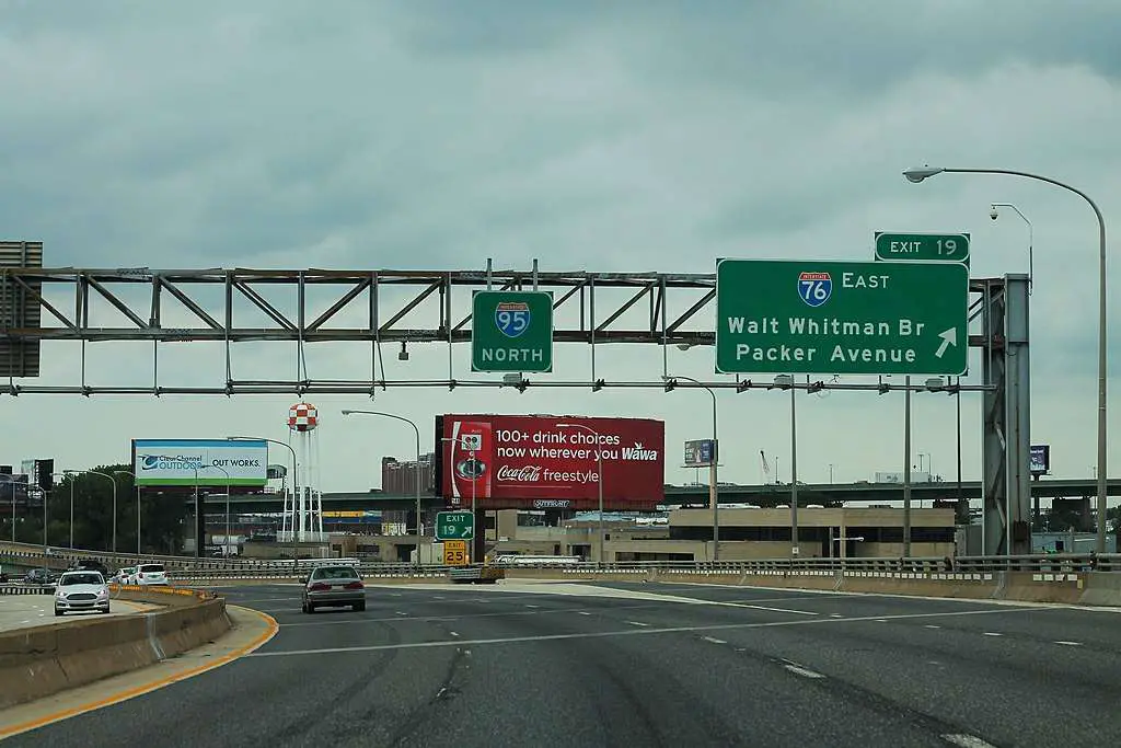
https://commons.wikimedia.org/wiki/File:I-95_North_-_Exit_19_-_I-76_East_%2829737193808%29.jpg
Built in 1964, the I-76 E is 701.13 km long. It connects Westfield Center, Ohio to Bellmawr, New Jersey.
Interstate Highway System I-76 W
Built in 1975, the I-76 W is 300.11 km long. It connects Denver, Colorado to Big Springs, Nebraska.
I-77
Built in 1958, the I-77 is 981.86 km long. It connects Columbia, South Carolina to Cleveland, Ohio.
I-78
Built in 1957, the I-78 is 235.41 km long. It connects Jonestown, Pennsylvania to New York City.
I-79
Built in 1967, the I-79 is 552.75 km long. It connects Charleston, West Virginia to Erie, Pennsylvania.
I-80
Built in 1956, the I-80 is 4,666.44 km long. It connects San Francisco, California to Teaneck, New Jersey.
I-81
Built in 1961, the I-81 is 1,376.02 km long. It connects Dandridge, Tennessee to Wellesley Island, New York.
I-82
Built in 1957, the I-82 is 231.07 km long. It connects Ellensburg, Washington to Hermiston, Oregon.
I-83
Built in 1959, the I-83 is 136.84 km long. It connects Baltimore, Maryland to Harrisburg, Pennsylvania.
I-84 E
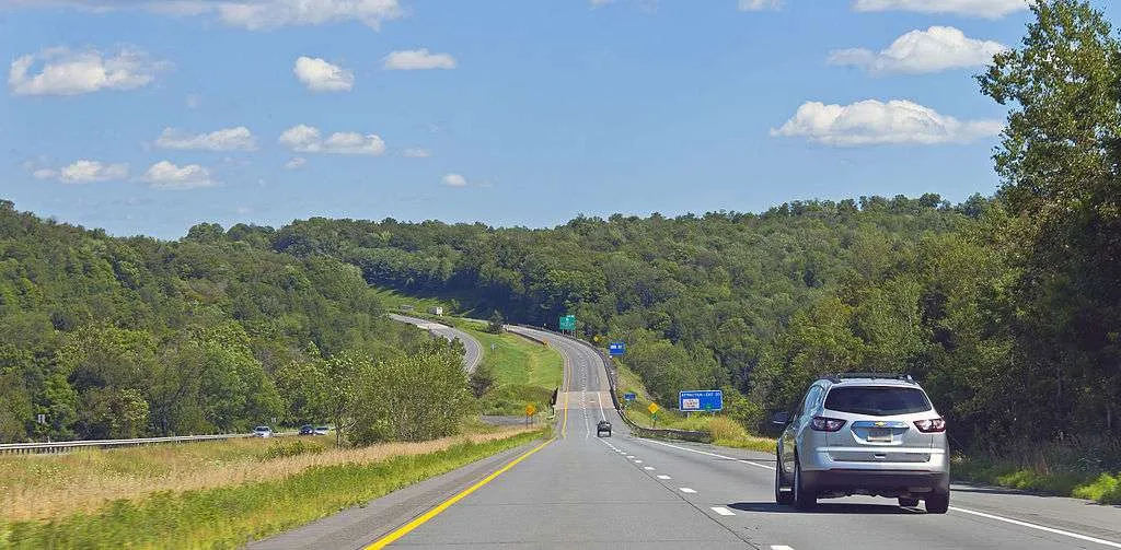
https://commons.wikimedia.org/wiki/File:Interstate_84_in_Pennsylvania.jpg
Built in 1963, the I-84 E is 374.51 km long. It connects Scranton, Pennsylvania to Sturbridge, Massachusetts.
Interstate Highway SystemI-84 W
Built in 1980, the I-84 W is 1,238.58 km long. It connects Portland, Oregon to Echo, Utah.
I-85
Built in 1958, the I-85 is 1,071.90 km long. It connects Montgomery, Alabama to Petersburg, Virginia.
I-86 E
Built in 1980, the I-86 E is 101.15 km long. It connects Declo, Idaho to Chubbuck, Idaho.
I-86 W
Built in 1999, the I-86 W is 359.51 km long. It connects North East, Pennsylvania to Windsor, New York.
I-87 E
Built in 1957, the I-87 E is 536.70 km long. It connects New York City to Champlain, New York.
I-87 W
Built in 2017, the I-87 W is 20.76 km long. It connects Raleigh, North Carolina to Wendell, North Carolina.
I-88
Built in 1968, the I-25 is 189.50 km long. It connects Binghamton, New York to Schenectady, New York.
I-88
Built in 1987, the I-88 is 226.27 km long. It connects East Moline, Illinois to Hillside, Illinois.
I-89
Built in 1960, the I-89 is 307.58 km long. It connects Bow, New Hampshire to Highgate, Vermont.
I-90
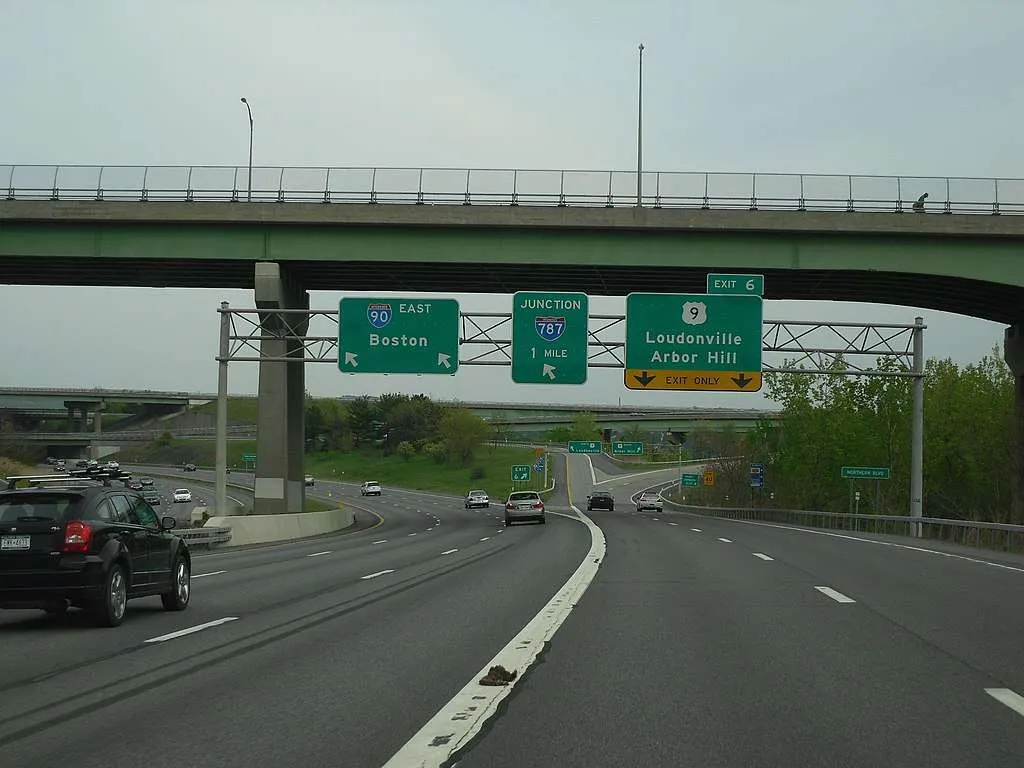
https://commons.wikimedia.org/wiki/File:I-90_east_at_US_9_in_Albany_NY.jpg
Built in 1956, the I-90 is 4,860.93 km long. It connects Seattle, Washington to Boston, Massachusetts.
Interstate Highway System-I-91
Built in 1958, the I-91 is 467.31 km long. It connects New Haven, Connecticut to Derby Line, Vermont.
I-93
Built in 1957, the I-93 is 305.69 km long. It connects Canton, Massachusetts to St. Johnsbury, Vermont.
I-94
Built in 1956, the I-94 is 2,551.13 km long. It connects Lockwood, Montana to Port Huron, Michigan.
I-95
Built in 1957, the I-95 is 3,088.83 km long. It connects Miami, Florida to Houlton, Maine.
I-96
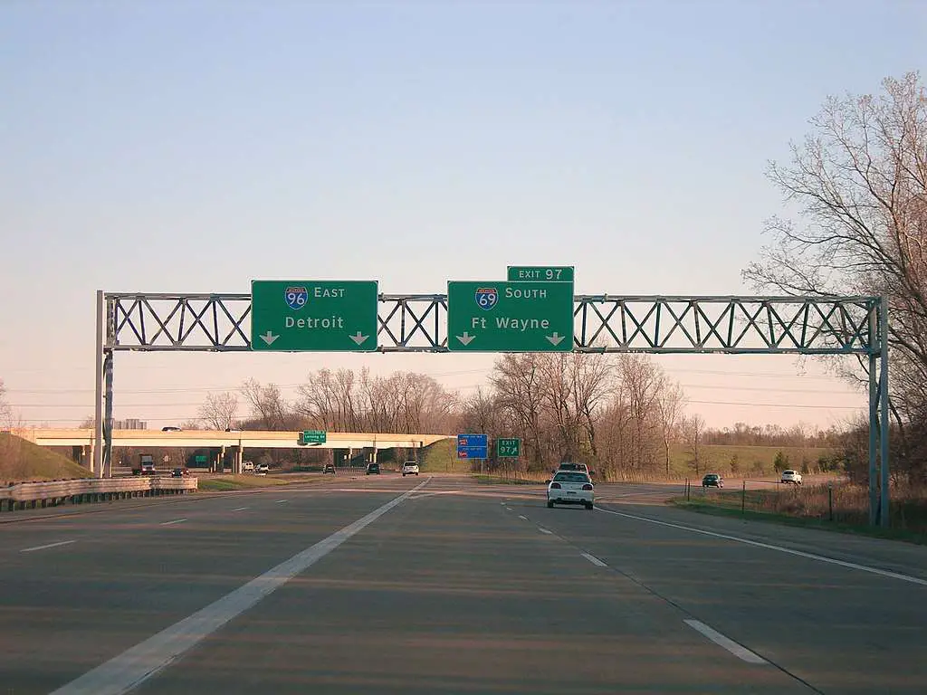
https://commons.wikimedia.org/wiki/File:I-96_and_I-69_south_split_Lansing.jpg
Built in 1959, the I-96 is 309.09 km long. It connects Norton Shores, Michigan to Detroit, Michigan.
I-99
Built in 1998, the I-99 is 158.26 km long. It connects Bedford, Pennsylvania to Painted Post, New York.
Final Thoughts
Over the years, the Interstate Highway system had transformed the entire U.S. infrastructure. What started as a defense plan to protect the country became much more than that. The Interstate Highways significantly affected urbanization, commerce, mobility, and more, in the U.S.


