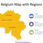
Shape Belgium with Regions and Provinces
Belgium is a country with a rich history and a diverse culture. One of the things that make Belgium unique is its administrative divisions....
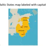
Baltic States Map free templates
The Map of Baltic States Template in PowerPoint format includes three slides, that is, the Baltic States outline map and Baltic States blank political...
Eastern Europe Map
The Eastern Europe Map template in PowerPoint format includes 5 slides. Firstly, we have the blank eastern Europe map. Secondly, we present the map...
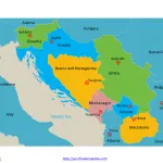
Free Yugoslavia Editable Map
Yugoslavia Country political map with 7 countries, they are they are Serbia, Croatia, Bosnia and Herzegovina, Slovenia, Montenegro, Macedonia, and Kosovo. Yugoslavia political map...
Israel Palestine Map
The Israel Palestine Map template in PowerPoint format includes 3 slides. Firstly, we have the blank Israel Palestine map. Secondly, we present the map...
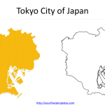
The most populated city in the world 1-10
The most populated city in the world is Tokyo, Japan, with a population of over 37 million people. Apart from Tokyo, there are other...
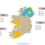
Map of Ireland and Northern Ireland
The Map of Ireland and Northern Ireland Template includes three slides. Map of Ireland and Northern Ireland with 34 counties, labeling major counties, Dublin,...


