Belgium is a country with a rich history and a diverse culture. One of the things that make Belgium unique is its administrative divisions. Belgium is divided into three regions, each with its own parliament and government. These regions are further divided into ten provinces. Regarding its administrative division, our team has prepared the PowerPoint deck for Belgium map, ranging from shape Belgium, three regions map of Belgium to ten provinces shape in Belgium. It is 14 slides in total, you can download it at the end of this article.
Introduction 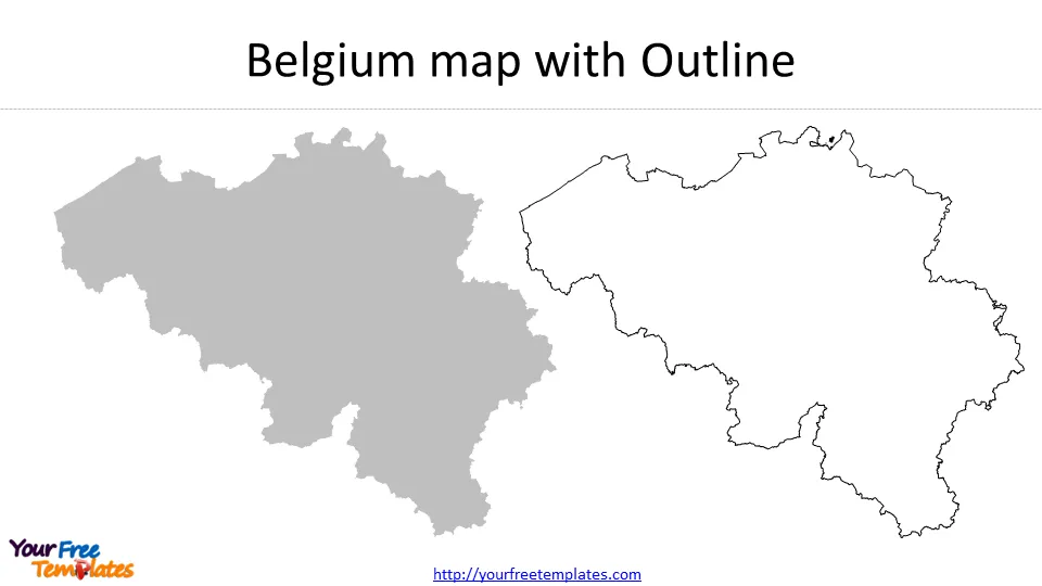 to Belgium’s Administrative Divisions
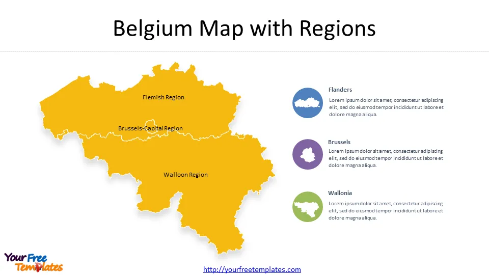
Belgium is a country in the western Europe, with Luxembourg, Germany, the Netherlands, and France as neighboring countries. Belgium has three administrative regions: Flanders, Wallonia, and Brussels. Flanders is the Dutch-speaking region, while Wallonia is the French-speaking region, and Brussels is the bilingual capital region. Each region has its own parliament and government, responsible for regional matters such as education, culture, and public transport. However, the country’s federal government is responsible for defense, justice, and foreign affairs.
The ten provinces of Belgium are further divided into municipalities. There are 589 municipalities in Belgium, each with its own mayor and council. Municipalities are responsible for local matters, i.e. waste management, street cleaning, and local taxes.
Understanding the Provinces of Belgium
Belgium’s provinces are divided into two main categories: Flemish provinces and Walloon provinces. Flemish provinces are located in the northern part of the country, and Walloon provinces are located in the southern section. The provinces are also divided based on their economic and industrial activities.
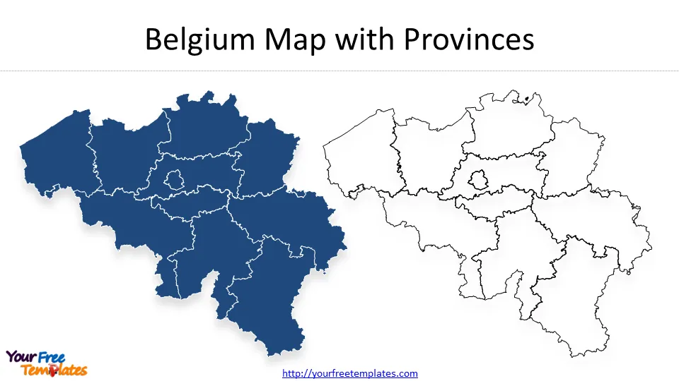
Each province has its own unique characteristics, culture, and attractions. Below is a list of the ten provinces of Belgium.
List of the 10 Provinces of Belgium
- Antwerp
- Limburg
- East Flanders
- West Flanders
- Flemish Brabant
- Walloon Brabant
- Hainaut
- Liège
- Luxembourg
- Namur
Tourist Attractions in the Capital and Each Province
Belgium is a country with a lot of tourist attractions. Each province has its own unique tourist attractions that visitors can explore. Here are some of the tourist attractions in the capital and each province:
Brussels-Capital
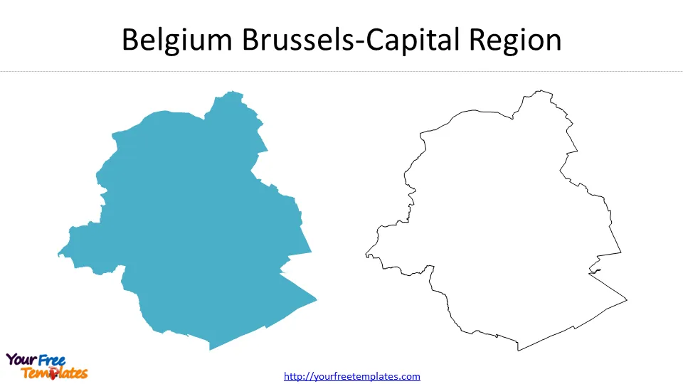
It is the smallest region with UNESCO world heritage site: the GrandPlace. Most important of all, the City of Brussels has been the headquarters of the European Union (EU) and of the North Atlantic Treaty Organization (NATO), and many international organizations.
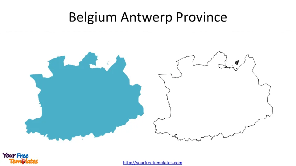
Antwerp
Antwerp is a province located in the northern part of Belgium. It is known for its fashion industry and as the diamond capital of the world. Some of the tourist attractions in Antwerp include the Antwerp Zoo, the Cathedral of Our Lady, and the Museum Plantin-Moretus.
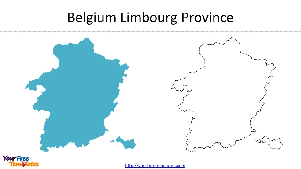
Limburg
Limburg province is in the northeastern Belgium. The favorable attractions to tourists are the Bokrijk Open-Air Museum, the Alden Biesen castle, and the Maasmechelen Village shopping outlet.
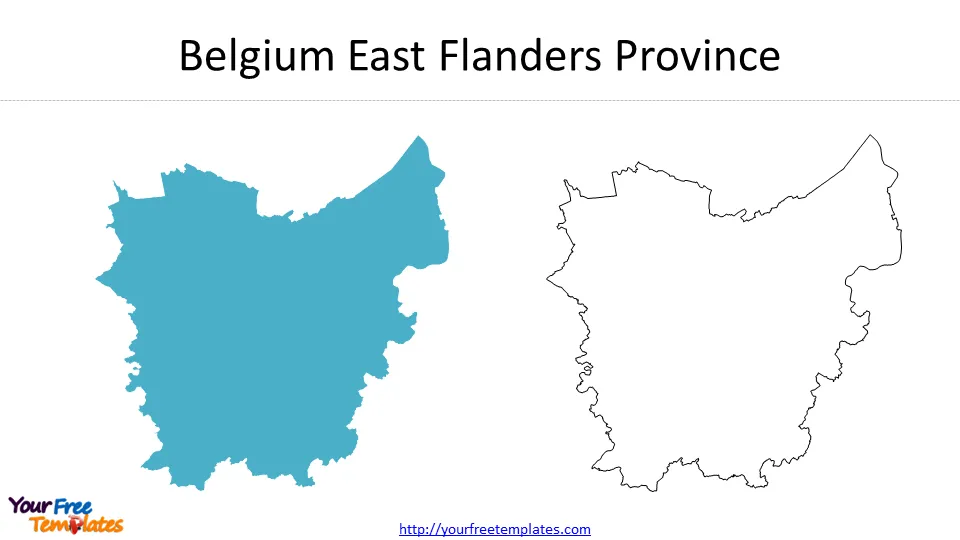
East Flanders
East Flanders province lies in the northern Belgium. Some famous scenic spots in East Flanders include the Gravensteen castle, the Ghent Altarpiece, and the Flanders Fields Museum.
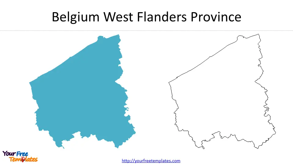
West Flanders
West Flanders province is in the western Belgium. The attractive tourist destinations are the Menin Gate Memorial, the Basilica of the Holy Blood, and the Bruges Belfry.
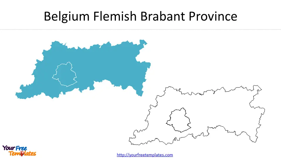
Flemish Brabant
located in the central part of Belgium, Flemish Brabant province is renowned for the Grand Place of Brussels, the Atomium, and the Royal Museum of Fine Arts.
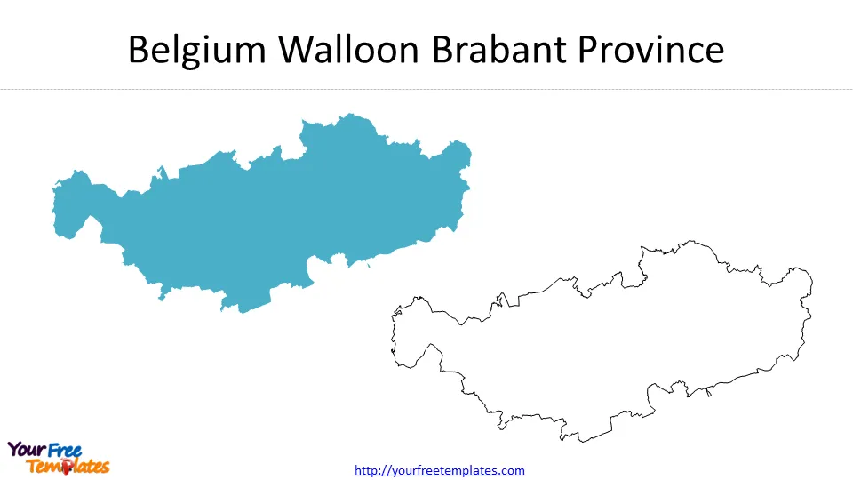
Walloon Brabant
Walloon Brabant lies in the southern Belgium, with popular places of interest including the Villers Abbey, the Hergé Museum, and the Waterloo Battlefield.
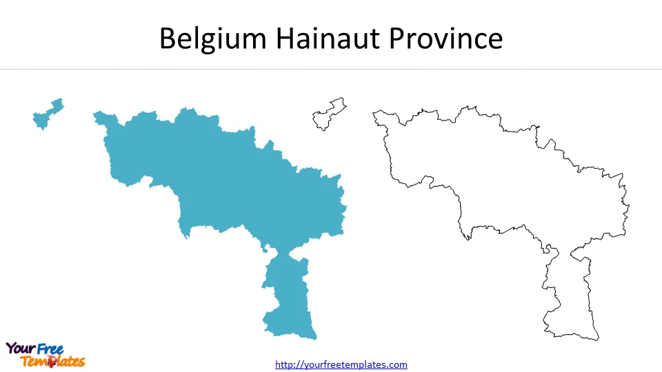
Hainaut
Located in the southern Belgium, Hainaut province is reputed for its historic cities and beautiful countryside. Some of the tourist attractions in Hainaut include the Pairi Daiza zoo, the Grand Hornu industrial complex, and the Belfry of Mons.
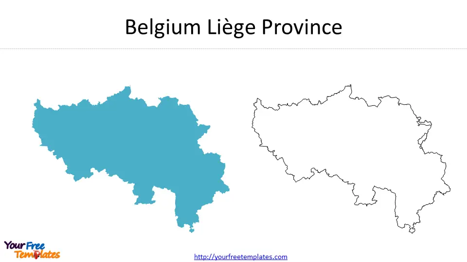
Liège
Located in the eastern part of Belgium, Liège owns the Prince-Bishops’ Palace, the La Boverie Museum, and the Coteaux de la Citadelle park as the famous scenic spots.
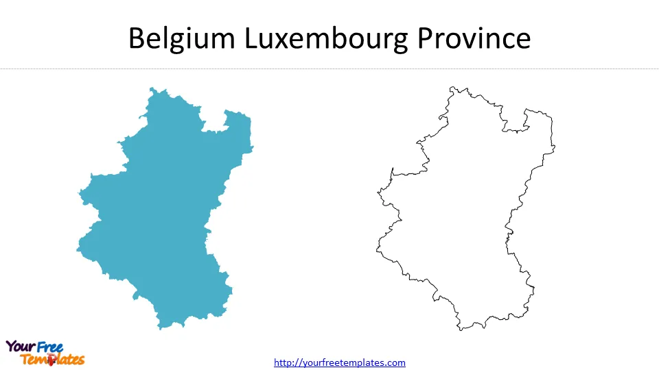
Luxembourg
Luxembourg province is in the southeastern part of Belgium. It has a good reputation for its beautiful countryside and historic castles, with well-known tourist attractions such as the Bouillon Castle, the Domain of the Caves of Han, and the Euro Space Center.
Namur
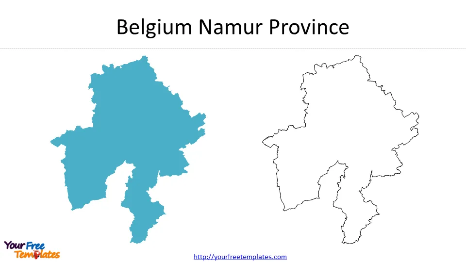
Namur province lies in the southern Belgium. It is distinguished for its popular tourist attractions including the Citadel of Namur, the Felicien Rops Museum, and the Maredsous Abbey.
Comparison of the Provinces – Similarities and Differences
The provinces of Belgium have several similarities and differences. They all have stunning architecture, rich history, and unique cultures. However, they differ in terms of their languages, economies, and industries. Brussels-Capital and Antwerp have the largest economies, while Limburg and Walloon Brabant have the smallest. Flemish Brabant and Hainaut are known for their diamond trade, while Liège and Limburg are known for their steel and fruit industries, respectively.
In terms of tourism, each province has its unique attractions that are worth exploring. Brussels-Capital is famous for its museums and art galleries, while Antwerp is distinguished for its fashion and diamond trade. East Flanders has advantages for its textile industry, and Limburg is in favorable position in fruit industry. Luxembourg and Namur are renowned for their stunning countryside, while Walloon Brabant is good at its pharmaceutical industry.
Conclusion
Belgium’s administrative divisions are an essential aspect of the country’s identity. The ten provinces of Belgium each have their own unique characteristics, culture, and attractions. Understanding these provinces can help travelers make the most of their trip to Belgium. Whether you’re interested in historic cities, beautiful countryside, or diverse economic activities, Belgium’s provinces have something to offer.
For other interesting maps, pls visit our ofomaps.com
Please check our Map of France and Belgium Template.
Size:1270K
Type: PPTX
Aspect Ratio: Standard 4:3
Click the blue button to download shape belgium.
Download the 4:3 Template
Aspect Ratio: Widescreen 16:9
Click the green button to download shape belgium.
Download the 16:9 Template


