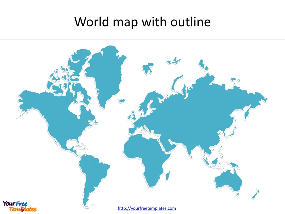
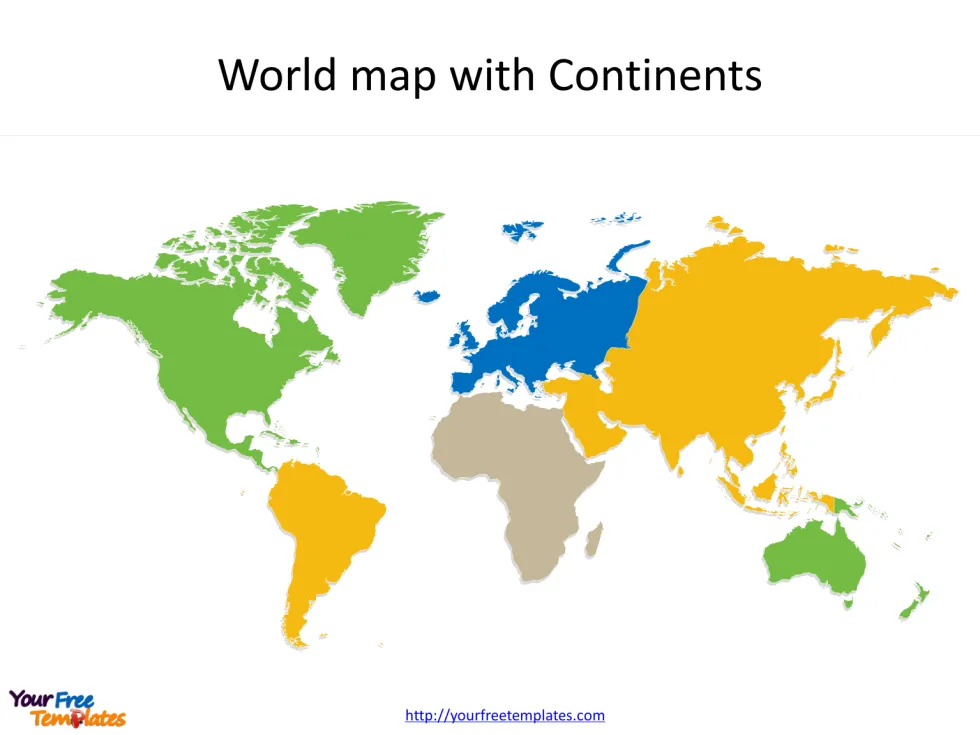
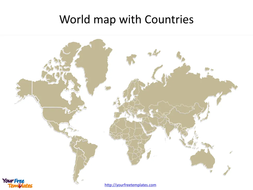
The World maps Blank Template in PowerPoint format includes three slides of different layers, that is, the outline of world, continents of world and world countries. Firstly, our World blank template has the global outline on it. Secondly, there are six continents in our World continent map blank template. Finally, we have the most popular country map of the world in this template. The World map is our hand-draw map with more edges than other ordinary GIS maps, giving more vivid map presentation for your targeting countries.
World outline maps and world political maps serve different purposes and have various applications. Here are some of the common applications for each:
World Outline Map:
- Educational Purposes: World outline maps are widely used in schools and educational institutions to teach geography and aid in the study of continents, countries, and their geographical features.
- Cartography: Outline maps serve as a base for creating more detailed and specialized maps. They provide a simple representation of the world’s landmasses, allowing cartographers to add specific details and features.
- Travel Planning: Outline maps are helpful for planning trips and understanding the overall geography and distances between different countries and regions.
- Data Visualization: Researchers and statisticians use outline maps to visually represent data and information related to various global phenomena, such as population distribution, climate patterns, or economic indicators.
Slide 1, World maps Blank Template with outline only.
Our World map blank template with outline are for the planet Earth we are living on. It is well known that we can use World map to describe the global situation. Furthermore, you can demonstrate your ideas from the perspective of world, comparing from the continent and the region. So our World blank template slide has the vivid outline for you to use. Therefore users can edit the outline map to create their unique ready-made and apply in different reports.

Slide 2, World map Blank Template with six continents.
The Blank World map of continents are the division of six continents. The six continents are Asia, Africa, North America, South America, Europe, and Oceania/Australia. What is more, every individual continent subdivision is an editable shape. In a word, you can change the colors, sizes, highlight some map continent shapes, and integrate with your charts. At the same time you can also refer to the fully World definition in Wikipedia. The most important of all, analysts from marketing research companies, consultants from professional firms are very happy with our map templates; because our maps can help to reduce their efforts and create good-looking world maps.

For World Political Map:
- Political Analysis: World political maps showcase the political boundaries and divisions between countries. They help in understanding geopolitical relationships, regional conflicts, and international relations.
- Diplomacy and Governance: Political maps are essential tools for diplomats, policymakers, and government officials to analyze and negotiate political agreements, treaties, and territorial disputes between nations.
- Business and Trade: International businesses and corporations utilize political maps to identify potential markets, understand trade routes, and develop strategies for global expansion.
- News and Media: Political maps are frequently used by news outlets to report on global events, conflicts, and political developments, providing context and geographical orientation to their audiences.
Slide 3, World maps Blank Template with individual countries.
How many countries are in world map?
As of now, there are 195 recognized sovereign states in the world. These include 193 member states of the United Nations and 2 observer states (the Holy See and Palestine). However, it’s important to note that the number of countries may vary depending on how one defines a “country” and takes into account various political and territorial disputes.
The Blank World map of countries are the division of all major countries, such as China, India, USA, Canada, Russia, UK, France, Germany and Japan etc. There are approximately 200 countries in the world. Then in our world maps template, you can group some countries into regions or for some blocks. What is more, you can define your target country group, comparing information such as population and GDP.

In summary, world outline maps provide a basic representation of the world’s geography, while world political maps focus on political boundaries and divisions. Both types of maps have their specific applications in education, research, planning, and analysis across various fields.
Size:548K
Type: PPTX
[sociallocker]Aspect Ratio: Standard 4:3
Click the blue button to download it.
Download the 4:3 Template
Aspect Ratio: Widescreen 16:9
Click the green button to download it.
Download the 16:9 Template[/sociallocker]


