Free Gambia Map Template
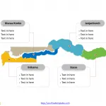
The Gambia Map Template in PowerPoint format includes two slides, that is, the Gambia outline map and Gambia political map. Firstly, our Gambia out...
Free Mali Editable Map
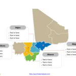
Mali Political map with eight regions (régions) and one district, labeling with major regions, Sikasso, Koulikoro, Ségou, and Mopti. Mali outline map labeling with...
Free Mauritania Editable Map
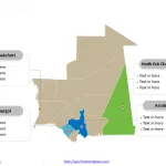
Mauritania map with ten provinces and one capital city, labeling major provinces, Hodh Ech Chargui, Nouakchott, Gorgol, and Assaba. Mauritania Outline map labeled with...
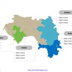
Free Guinea Map Template
The Guinea Map Template in PowerPoint format includes two slides, that is, the Guinea outline map and Guinea political map. Firstly, our Guinea out...
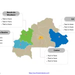
Free Burkina Faso Map Template
The Burkina Faso Map Template in PowerPoint format includes two slides, that is, the Burkina Faso outline map and Burkina Faso political map. Firstly,...
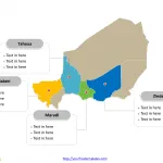
Free Niger Map Template
The Niger Map Template in PowerPoint format includes two slides, that is, the Niger outline map and Niger political map. Firstly, our Niger outline...
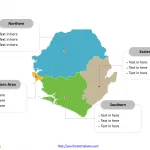
Free Sierra Leone Editable Map
The Sierra Leone Editable Map Template in PowerPoint format includes two slides, that is, the Sierra Leone outline map and Sierra Leone political map....
Free Ghana Map Template
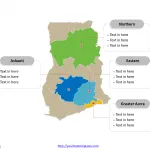
The Ghana Map Template in PowerPoint format includes two slides, that is, the outline map and political administrative map. Firstly, our country outline map...
Togo Map with 5 Regions
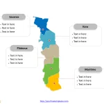
The Togo Map Template includes two slides. Togo map with five regions, labeling major regions, Maritime, Plateaux, Savanes, and Kara. Togo map labeled with...
Free Ivory Coast Editable Map
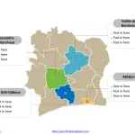
Ivory Coast map with 14 districts, labeling with major districts, Abidjan, Sassandra-Marahoué, Vallée du Bandama, and Gôh-Djiboua. Ivory Coast outline map labeling with national...


