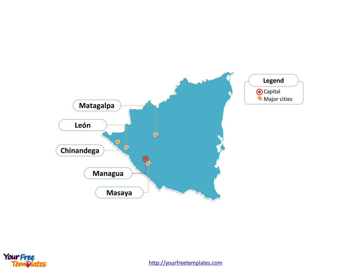
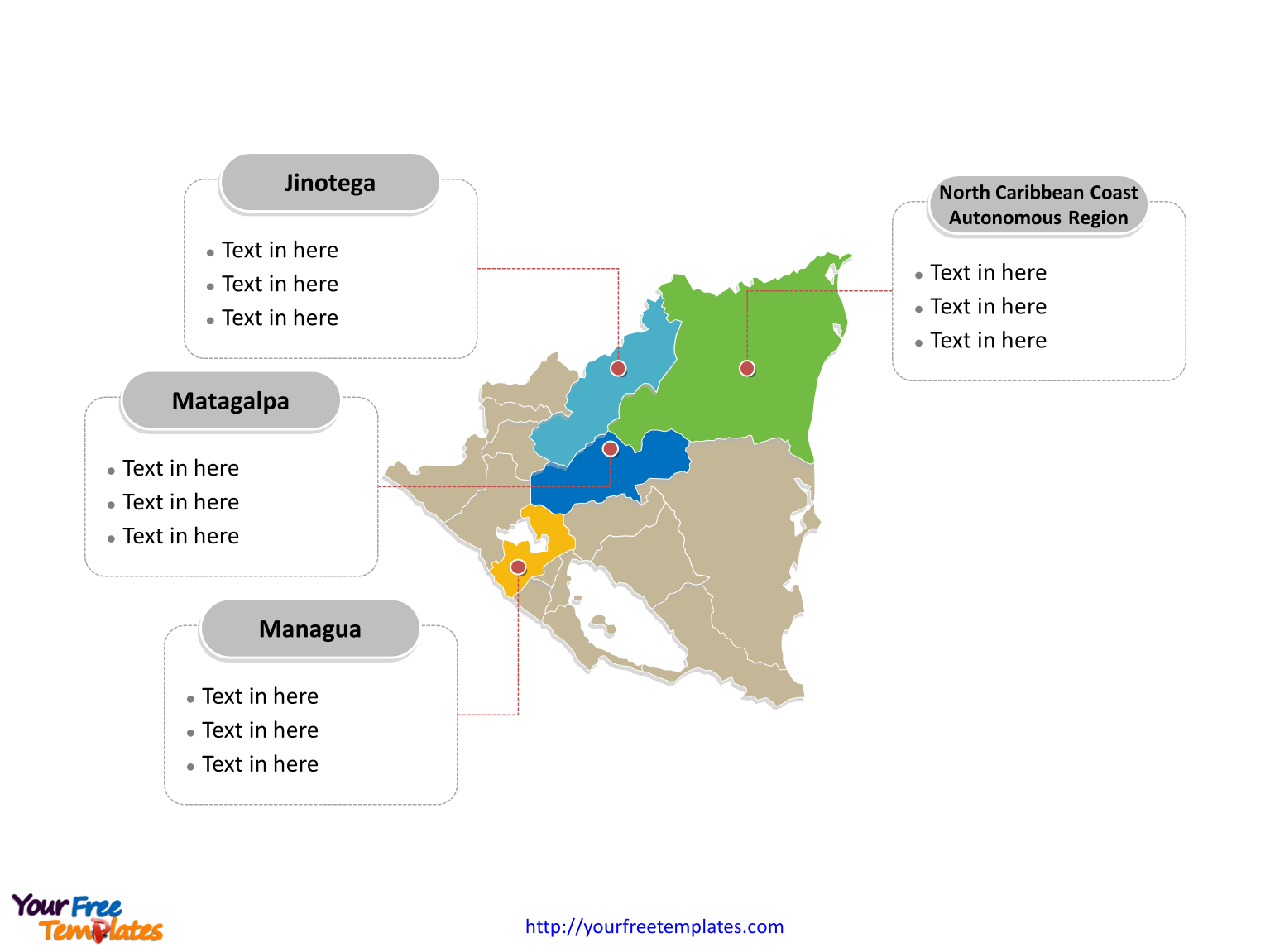
The Nicaragua Map Template in PowerPoint format includes two slides, that is, the Nicaragua outline map and Nicaragua political map. Firstly, our Nicaragua outline map template has capital and major cities on it, which are Managua, Matagalpa, León, Masaya, and Chinandega. Secondly, there are 15 departments and two autonomous regions in our Nicaragua political map template of divisions, labeling the most populated divisions that are Managua, Matagalpa, North Caribbean Coast Autonomous Region, and Jinotega.
Slide 1, Nicaragua map labeled with capital and major cities.
Our Nicaragua map is for the largest country in the Central America. Her neighboring countries are Honduras from the north, the Caribbean from the east, Costa Rica from the south, and the Pacific Ocean from the west. It is well known that Managua is the capital and largest city of Nicaragua, furthermore, other major cities including Matagalpa, León, Masaya, and Chinandega. So our Nicaragua map slide has the capital and major cities on the outline. Therefore users can edit the outline map to create their unique Nicaragua maps and apply in different reports.

Slide 2, Nicaragua map labeled with major departments.
The Nicaragua map is the country political division of 15 departments (departamentos) and two autonomous regions. They are Boaco, Carazo, Chinandega, Chontales, Estelí, Granada, Jinotega, León Department, Madriz, Managua, Masaya, Matagalpa, Nueva Segovia, Rivas, Río San Juan, North Caribbean Coast Autonomous Region, and South Caribbean Coast Autonomous Region. What is more, every individual political subdivision is an editable shape. In a word, you can change the texts, colors, sizes, highlight some map shapes, and add your charts. At the same time you can also refer to the fully labeled Nicaragua map in Wikipedia. Believe it or not, analysts from marketing research companies, consultants from professional firms are very happy with our map templates; because our maps can help to reduce their efforts and create good-looking maps.

Size:98K
Type: PPTX
Aspect Ratio: Standard 4:3
Click the blue button to download it.
Download the 4:3 Template
Aspect Ratio: Widescreen 16:9
Click the green button to download it.
Download the 16:9 Template


