The US and Mexico Map Template in PowerPoint format include five slides. Firstly we have the diagram showing map of us border with mexico. Secondly major cities are labeled on the outline map. The third is the sub divisions of two countries. Fourth is the labeled first level administrative political map. Finally is the slide four with major cities. As the US diagram PowerPoint template series, you can also enjoy US Canada and Mexico Map, US and Canada Map, US map projections, 2020 US Population density, 50 US State Shapes Map Template, United States Maps template, United States Map template, and US regions map.
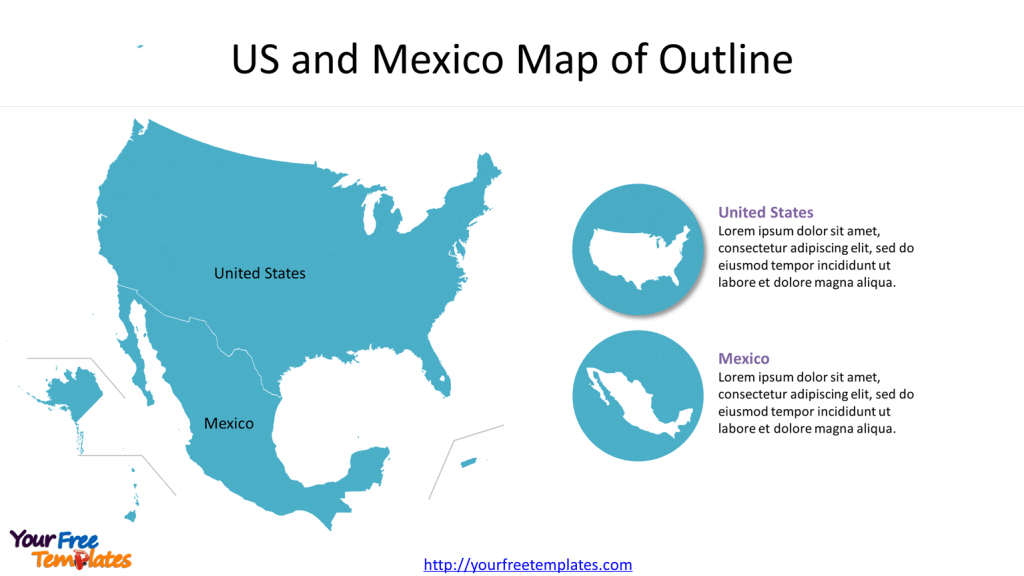
Slide 1, Map of us border with mexico
From the perspective of land area, US and Mexico have been the largest countries in North America and the World, especially for the US, with a totaled population of 333.5 million, 130 million of people respectively. Mexico’s economy has relied on its neighbor to some extent due to its proximity. On the other hand, Border wall has been built to reduce illegal immigration to the United States from Mexico.
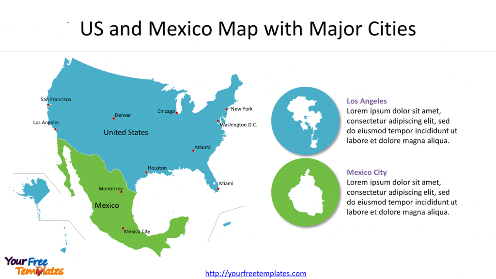
Slide 2 Map of USA and Mexico with Major Cities
It is well-known that major cities in the United States and Mexico are New York, Chicago, Los Angeles, San Francisco, Atlanta, Huston, Denver, Washington DC, and Mexico City.
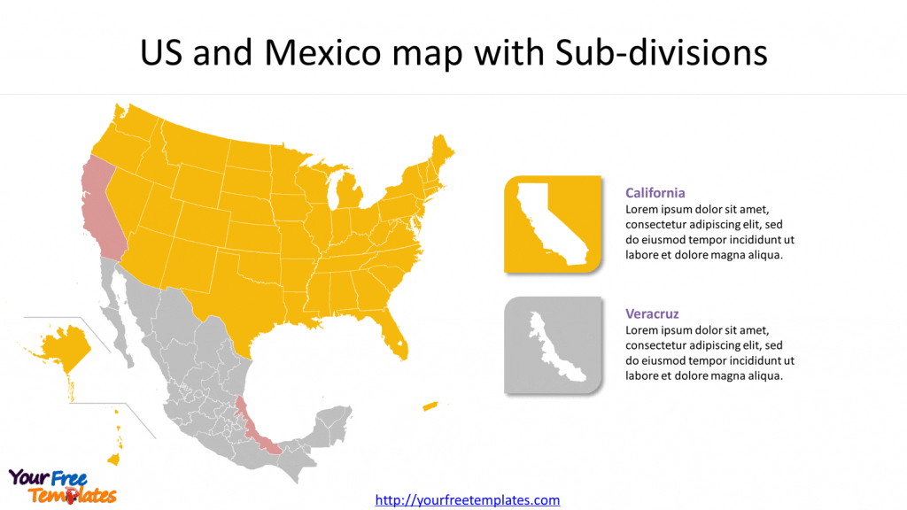
Slide 3 US and Mexico Map with Sub-divisions
In this blank map of USA and Mexico, the United States is composed of 50 states, Puerto Rico and the Federal District; the important states are California, Texas, New York and Florida.
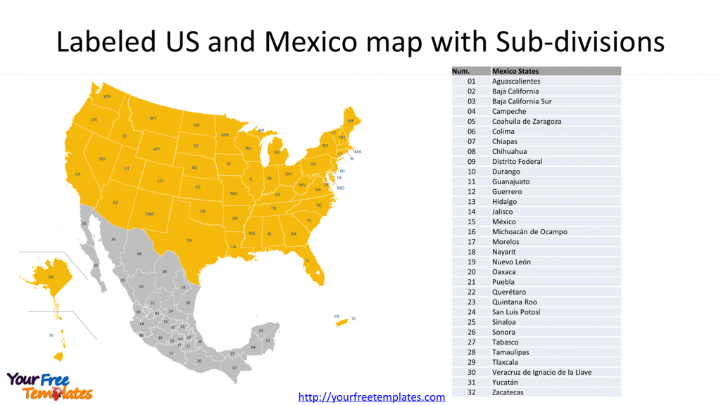
For Mexico has 31 states and one Distrito Federal. The states are Aguascalientes, Baja California, Baja California Sur, Campeche, Coahuila de Zaragoza, Colima, Chiapas, Chihuahua, Distrito Federal, Durango, Guanajuato, Guerrero, Hidalgo, Jalisco, México, Michoacán de Ocampo, Morelos, Nayarit, Nuevo León, Oaxaca, Puebla, Querétaro, Quintana Roo, San Luis Potosí, Sinaloa, Sonora, Tabasco, Tamaulipas, Tlaxcala, Veracruz de Ignacio de la Llave, Yucatán, and Zacatecas.
Slide 4 Labeled US and Mexico Map with Sub-divisions
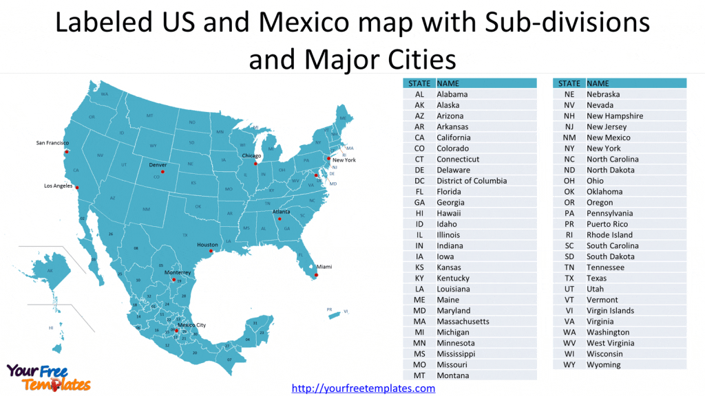
In the sub-division map, the abbreviation names or numbers of states or provinces are labeled on it. It is easy for you to identify and highlight the target states, then facilitate to customize it.
Slide 5 Labeled US and Mexico Map with Sub-divisions and Major Cities
Table with two-letter abbreviation and full names of US and Mexico states is for the text work. So you can label the full names if needed.
For premium maps of US counties by state, please visit our ofomaps.com.
Size:2720K
Type: PPTX
[sociallocker]Aspect Ratio: Standard 4:3
Click the link to download it.
Download the 4:3 Template
Aspect Ratio: Widescreen 16:9
Click the link to download it.
Download the 16:9 Template[/sociallocker]


