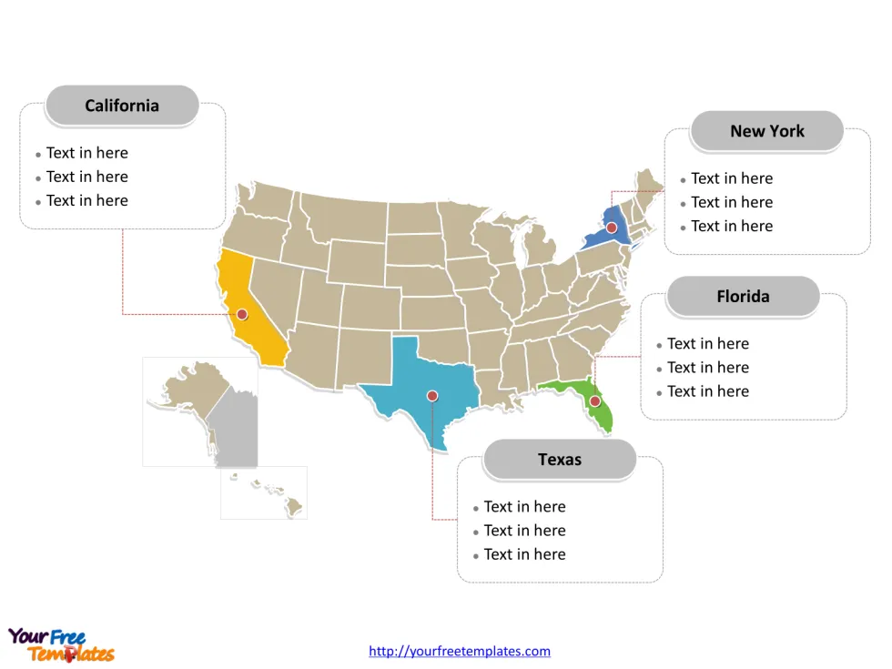
Free USA PowerPoint map with 50 states and a federal district, highlighting California, Florida, New York, and Texas states. USA PowerPoint map labeled with Washington, D.C., New York, Los Angeles, Chicago, Houston, Philadelphia, and Boston cities. For the USA state maps series, you can enjoy United States Map Template, Free US map with states, US Region Map Template, and US map with Mid-Atlantic States, US maps with South Atlantic States and US New England map.
The Map of United States of America Template includes three slides.
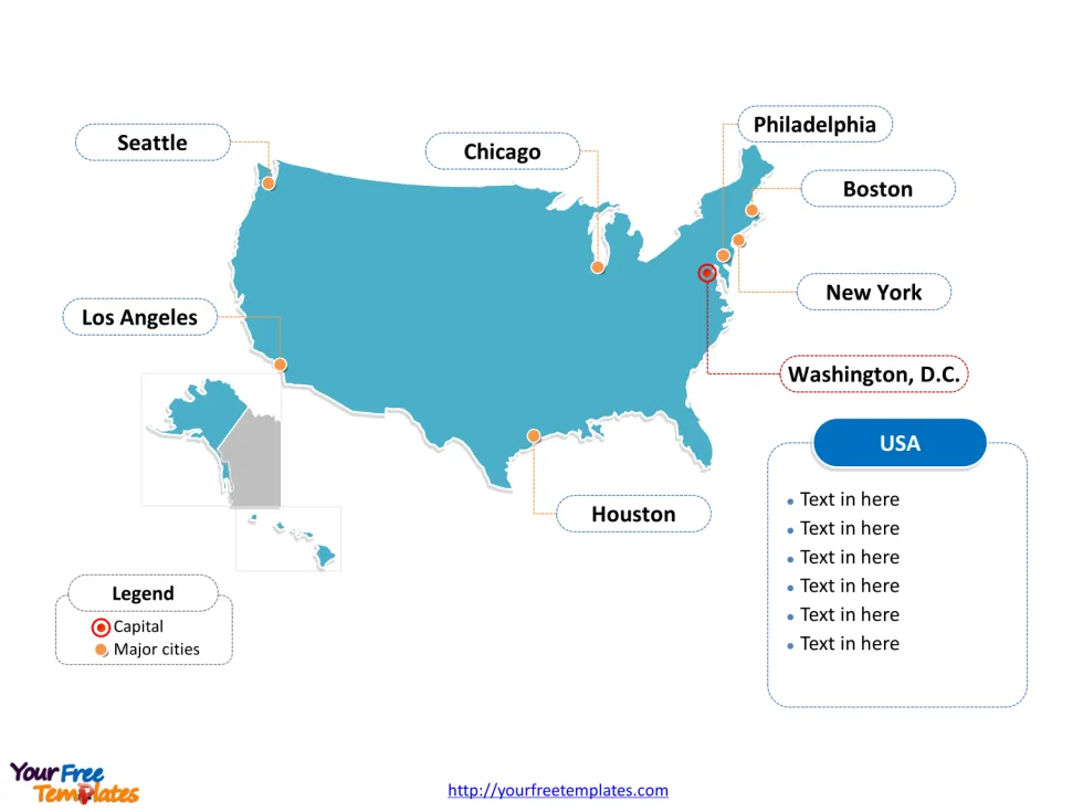
Slide 1, USA PowerPoint map of outline labeled with capital and major cities.
United States of America is a federal republic composed of 50 states, a federal district. Forty-eight of the fifty states and the federal district are contiguous and located in North America between Canada and Mexico. The state of Alaska is in the northwest corner of North America, bordered by Canada to the east and across the Bering Strait from Russia to the west. The state of Hawaii is an archipelago in the mid-Pacific Ocean.Its capital and largest city is Washington, D.C. and New York respectively, other major cities including Los Angeles, Chicago, Houston, Philadelphia, and Boston.
Slide 2, USA PowerPoint map labeled with major administration districts.
United States of America is a country composed of 50 states, a federal district, Alabama, Alaska, Arizona, Arkansas, California, Colorado, Connecticut, Delaware, Florida, Georgia, Hawaii, Idaho, Illinois, Indiana, Iowa, Kansas, Kentucky, Louisiana, Maine, Maryland, Massachusetts, Michigan, Minnesota, Mississippi, Missouri, Montana, Nebraska, Nevada, New Hampshire, New Jersey, New Mexico, New York, North Carolina, North Dakota, Ohio, Oklahoma, Oregon, Pennsylvania, Rhode Island, South Carolina, South Dakota, Tennessee, Texas, Utah, Vermont, Virginia, Washington, West Virginia, Wisconsin, and Wyoming. Every individual political subdivision is an editable shape. Detailed USA PowerPoint map of political administrative divisions please refer to Wikipedia United States.
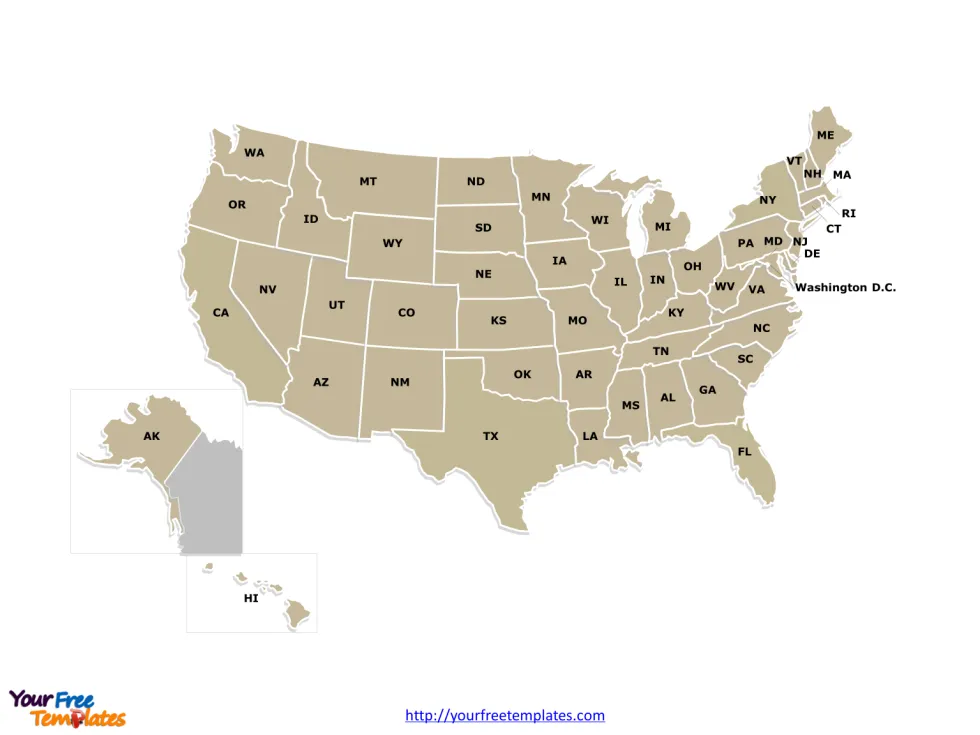
Slide 3, USA PowerPoint map with two-letter abbreviation for states
Other USA Maps for California, Florida and Texas.
Texas, California, and Florida are three of the most prominent and influential states in the United States, each with its own unique characteristics and contributions.
California, the Golden State, is the most populous state in the country and renowned for its diverse landscapes, from the rugged coastlines of Big Sur to the majestic Sierra Nevada mountains. It is a hub for innovation and entertainment, with Silicon Valley driving the tech industry and Hollywood shaping the world of entertainment. California is also known for its progressive values, cultural diversity, and a thriving arts scene. Cities such as Los Angeles, San Francisco, and San Diego offer a vibrant mix of cultural, culinary, and outdoor experiences.
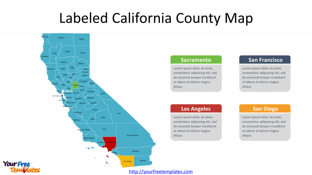
You can find our California Map with 58 Counties.
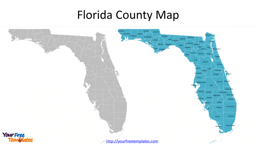
Florida, the Sunshine State, is a tropical paradise with its palm-fringed beaches, vibrant nightlife, and unique ecosystem of the Everglades. It attracts millions of tourists each year, thanks to its world-famous attractions such as Walt Disney World, Universal Studios, and the stunning beaches of Miami and Key West. Florida’s diverse population includes a significant Latin American influence, particularly in cities like Miami. The state’s warm climate, booming tourism industry, and economic opportunities make it an attractive destination for both residents and visitors.
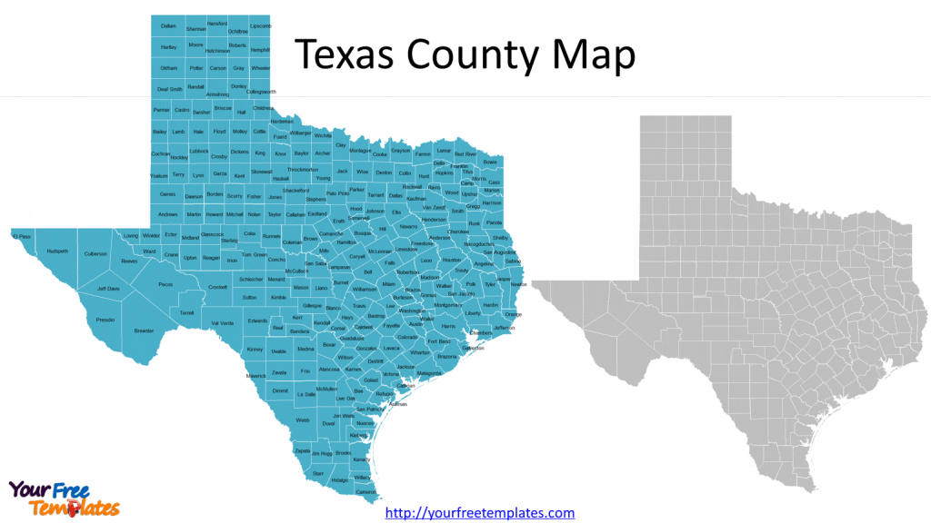
Last but not least, Our Texas Map with 254 Counties.
Texas, known as the Lone Star State, is the second-largest state in terms of both land area and population. Famous for its cowboy culture, vast deserts, and oil industry, Texas embodies a spirit of independence and resilience. It is home to diverse cities like Houston, Dallas, and Austin, which offer a blend of Southern charm, urban sophistication, and thriving arts and music scenes. Texas also boasts stunning natural landscapes, including the iconic Big Bend National Park and the Gulf Coast.
Size: 252K
Type: PPTX
Aspect Ratio: Standard 4:3
Click the blue button to download the USA PowerPoint Map.
Download the 4:3 Template
Aspect Ratio: Widescreen 16:9
Click the green button to download the USA PowerPoint Map.
Download the 16:9 Template


