The Indian Ocean Map Template in PowerPoint format includes three slides, that is, the Indian Ocean outline map and Indian Ocean political maps. Firstly, our Indian Ocean outline map template has relevant continent names on it. Secondly, there are 24 major countries labeled in our Indian Ocean political map. Thirdly the same political map template has 20 important cities along the ocean coast.
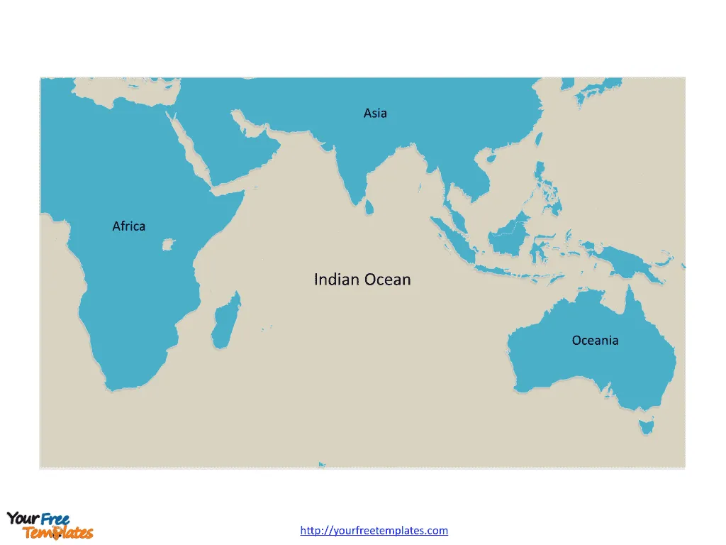
Slide 1, Indian Ocean map labeled with continent names
Our Indian Ocean map is for the third largest of the world‘s oceanic divisions, covering 70,560,000 km2. The Ocean is forming with Asia from the north, Africa from the west, Oceania from the east, and the Antarctica from the south. So the outline of Indian Ocean map has the continent names on it. Consequently users can keep or remove those names to create their unique Indian Ocean maps and satisfy their specific applications.

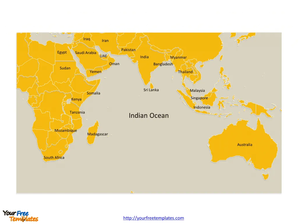
Slide 2, Indian Ocean map labeled with country names.
The Indian Ocean map is the country maps of 24 major countries with a coastline on the Indian Ocean. They are South Africa, Mozambique, Madagascar, Tanzania, Kenya, Somalia, Sudan, Egypt, Saudi Arabia, Yemen, Oman, United Arab Emirates, Iraq, Iran, Pakistan, India, Sri Lanka, Bangladesh, Myanmar, Thailand, Malaysia, Singapore, Indonesia, and Australia. Since every individual political subdivision is an editable shape. Consequently you can add your words, adjust your corporate colors, and expand or reduce the size of this vector map, highlight your targeted countries, and add your project related material. Meanwhile you can also refer to the fully labeled map of Indian Ocean in Wikipedia. Therefore Analysts, consultants and marketing managers can benefit from our professional map templates by creating their high-impact maps based on our Indian Ocean map templates, drawing trade routes or shipping routes along the continents.

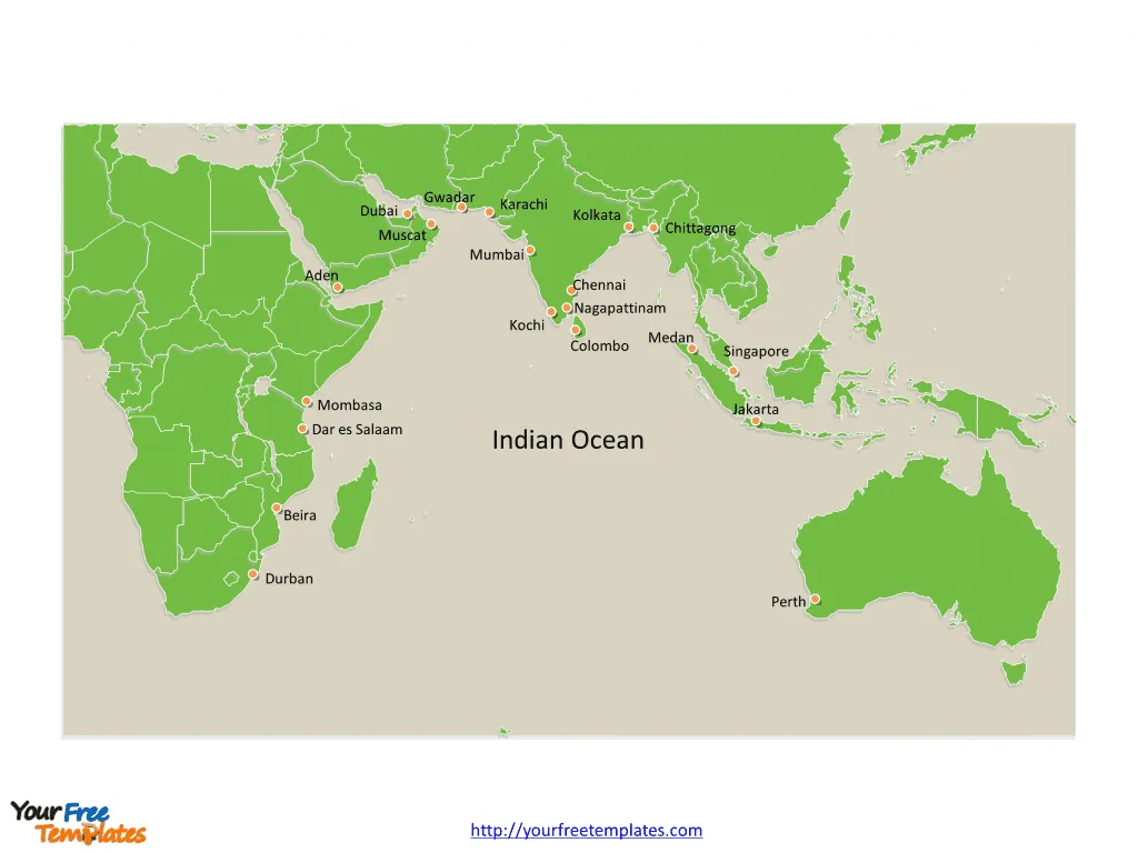
Slide 3, Indian Ocean map labeled with major cities.
The Indian Ocean map is the country political maps of 20 important cities along the coast of Indian Ocean. They are Singapore, Mumbai, Chennai, Kolkata, Nagapattinam, Kochi, Chittagong, Colombo, Karachi, Gwadar, Aden, Mombasa, Dar es Salaam, Durban, Beira, Muscat, Medan, Jakarta, Perth, and Dubai. Alternately users can choose to keep the cities to their needs, so they can edit map of Indian Ocean to create their unique maps.

Size:299K
Type: PPTX
Aspect Ratio: Standard 4:3
Click the blue button to download it.
Download the 4:3 Template
Aspect Ratio: Widescreen 16:9
Click the green button to download it.
Download the 16:9 Template


